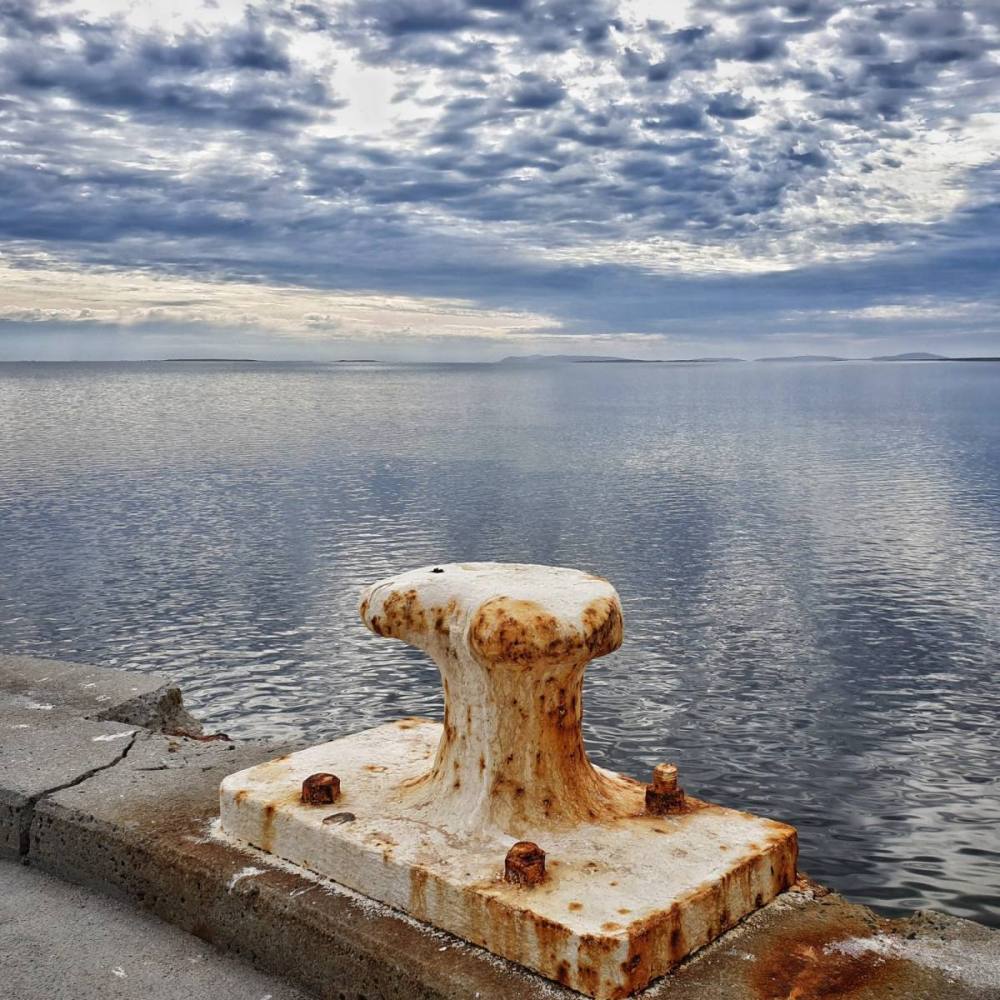
For Tasmanians, ‘the East Coast’ starts at Orford in the south and ends at St Helens in the north. Having explored the southern half of this region a little while ago, we took a second trip to visit Maria Island then explore the northern half of the region, from Swansea to St Helens. Using St Helens as a base we daytripped as far as Eddystone Point lighthouse, which is the southern extremity of Northeast Tasmania.
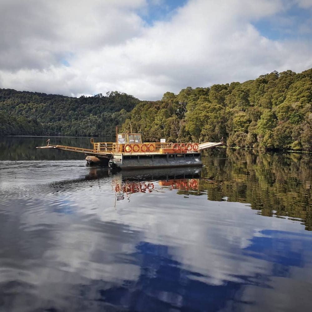
The ferry for Maria Island leaves from Triabunna, a little over an hour’s drive from Hobart. The ferry ride takes about half an hour each way. Visiting the island is a great day trip (we caught the 10 am ferry there and the 4:30 pm ferry back), though there is basic, self-contained accommodation and camping facilities on the island for those wanting to stay longer.
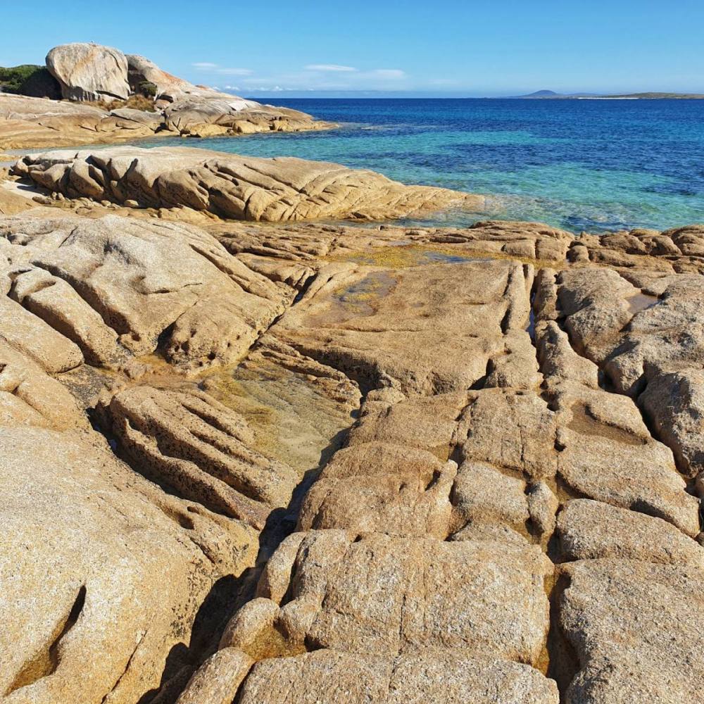
‘Maria’ (pronounced mar-i-ah) is a special place with great natural beauty, abundant wildlife, and a multi-layered human history. It has both a National Park with walking trails to suit all tastes, and the Darlington Probation Station which forms part of the World Heritage Australian Convict Sites.
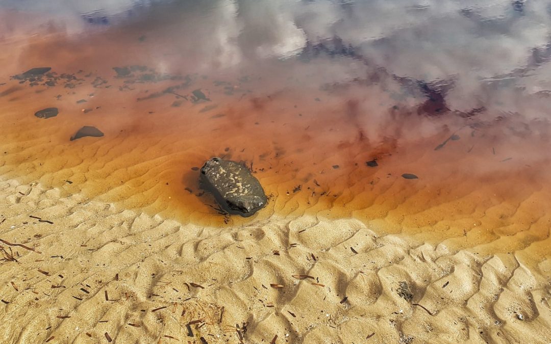
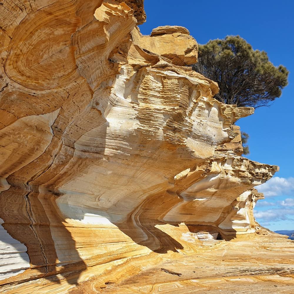
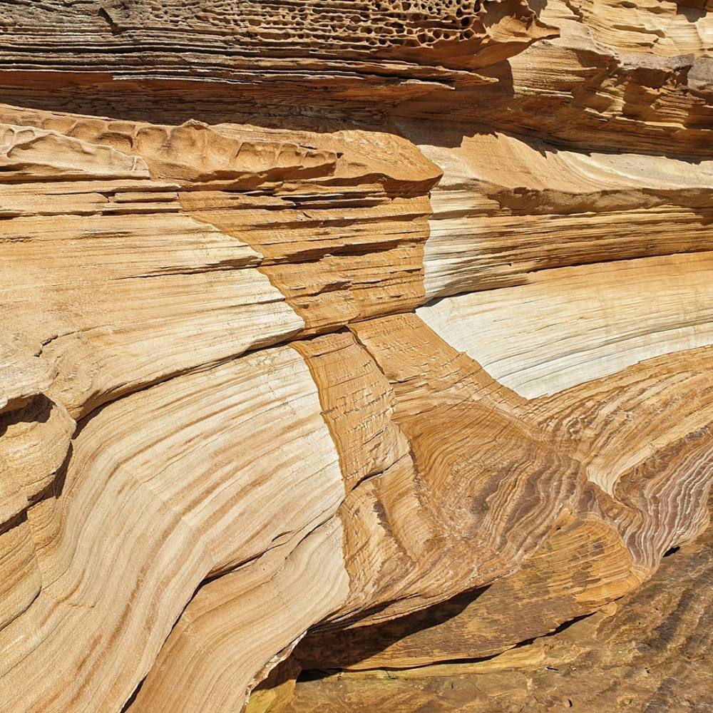
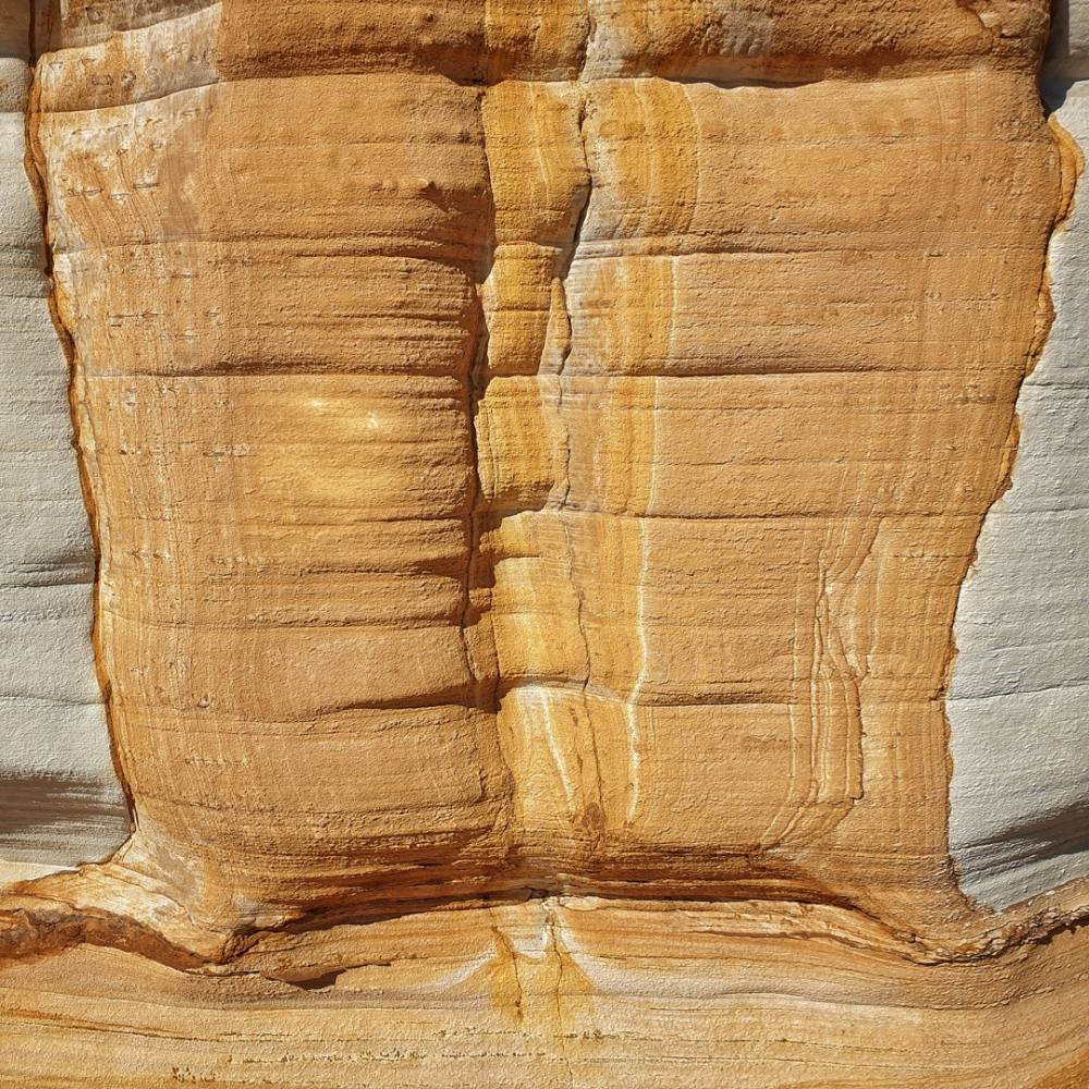
The ferry drops you at Darlington and it’s a pleasant walk along the coast to the fabulous Painted Cliffs. Try to get here at low tide so you can enjoy them to the full.
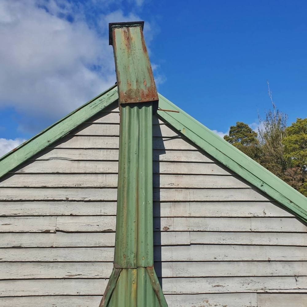
A loop track heads inland, taking you past the ruins of Howells Cottage and the Oast House then back to Darlington.
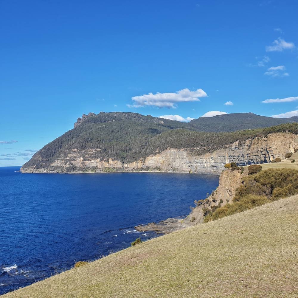
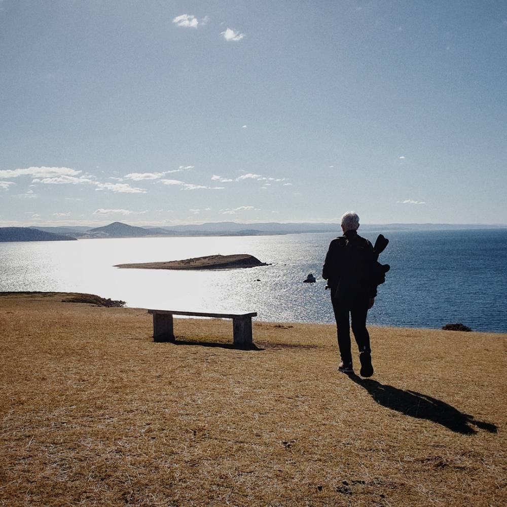
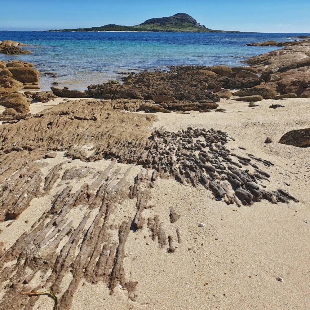
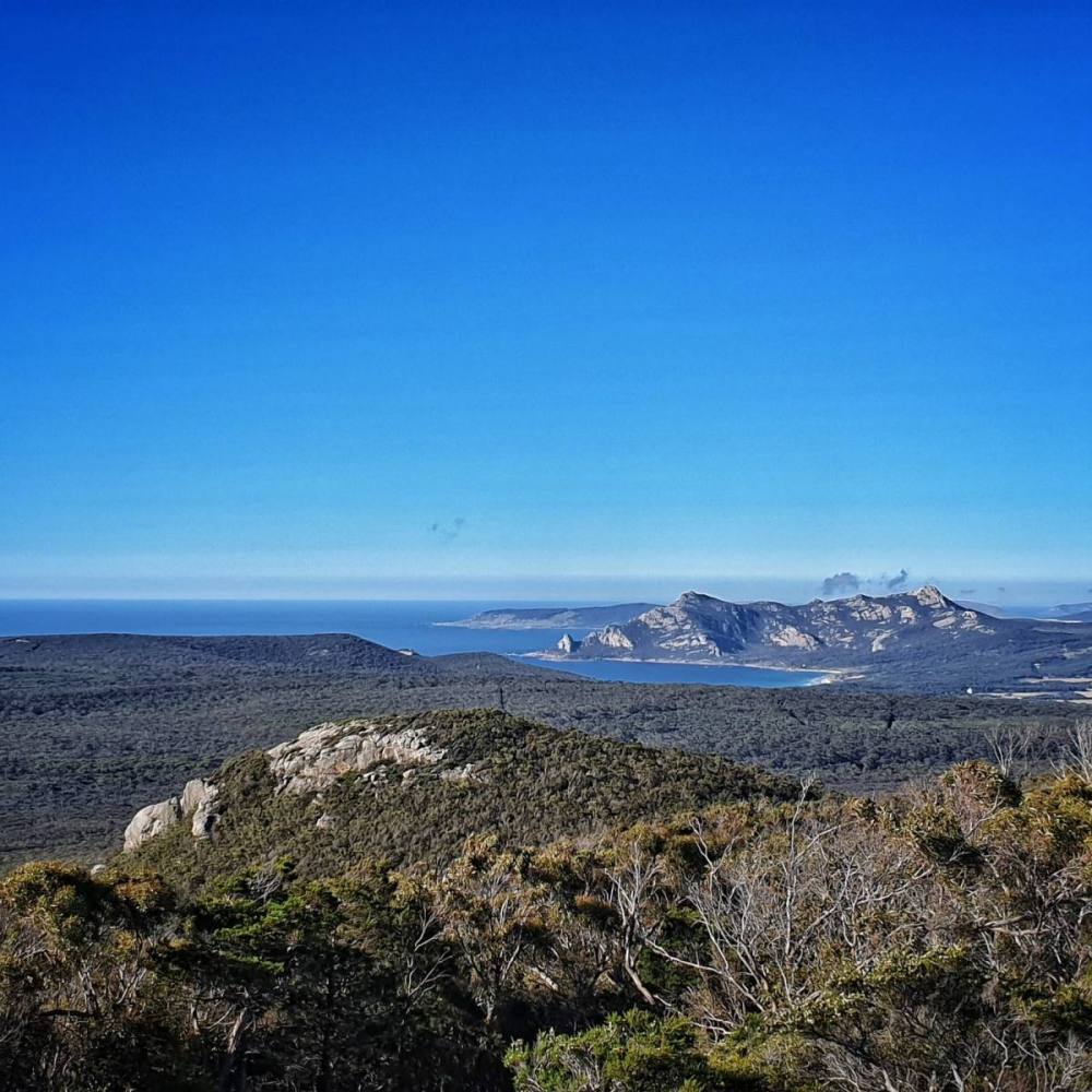
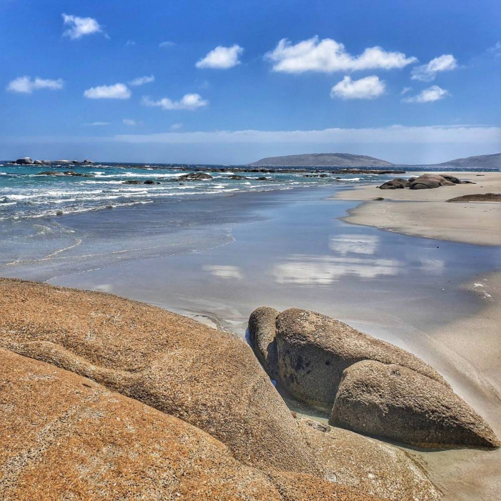
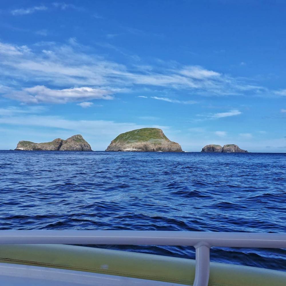
From here we headed north on the path to the Fossil Cliffs, with great views towards the peaks of Bishop and Clerk, and across the tiny Bird Island towards the distant Freycinet Peninsula.
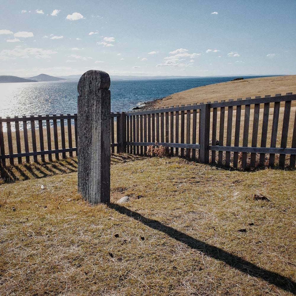
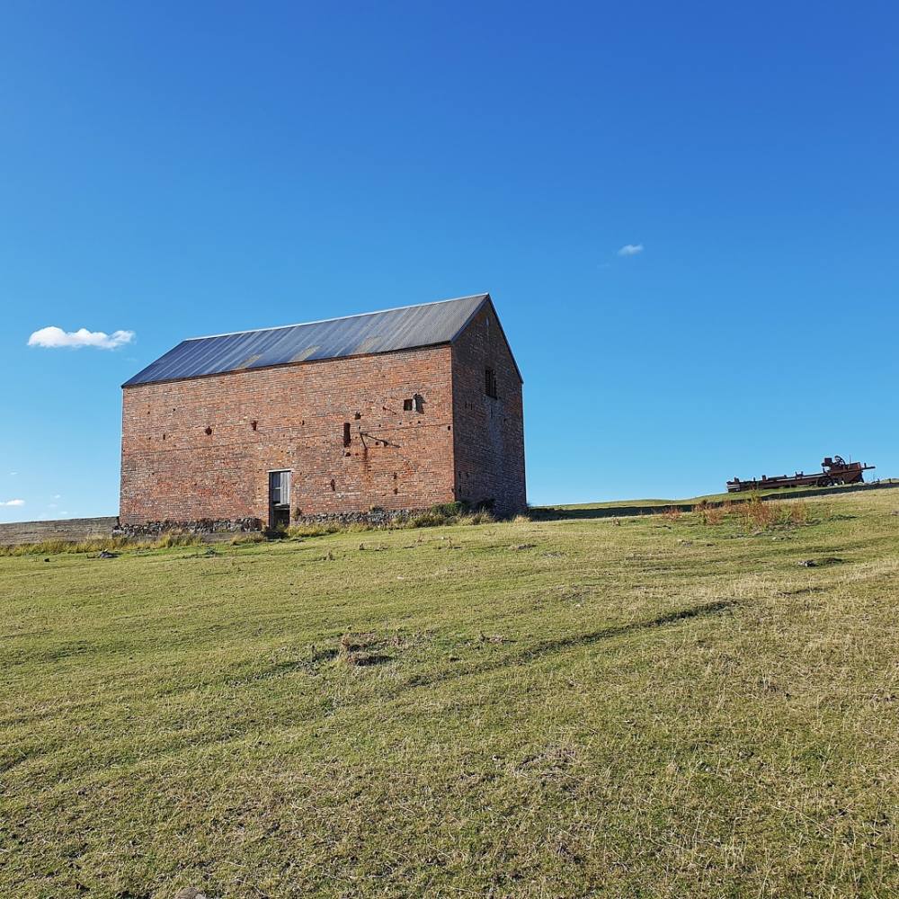
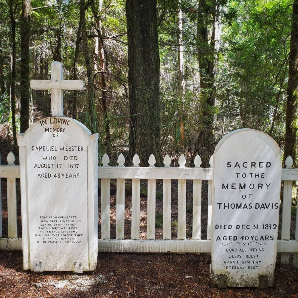
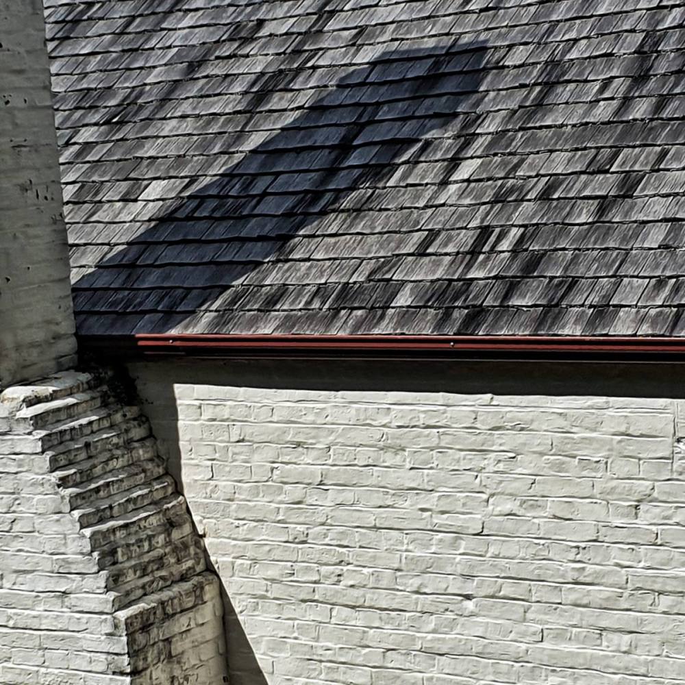
Looping back to Darlington we stopped to explore the cemetery and Convict Barn.
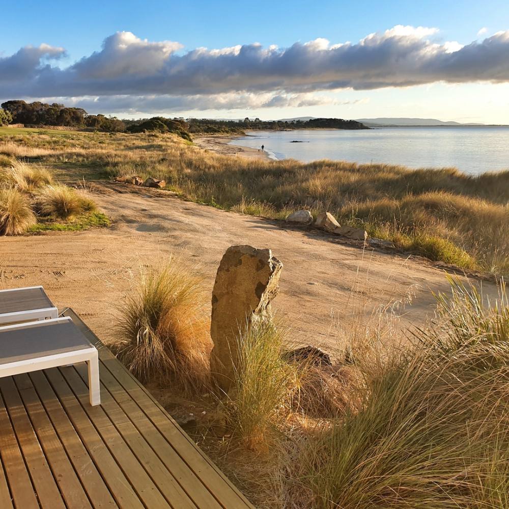
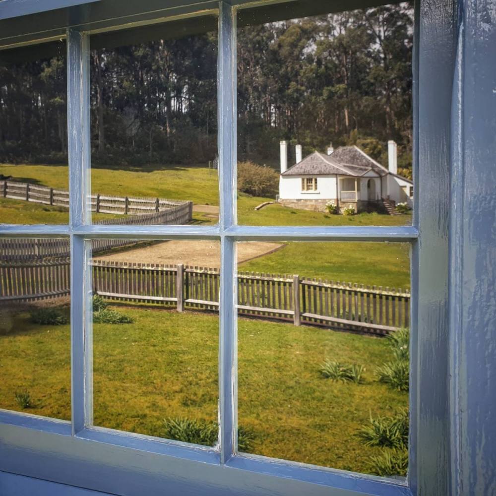
Arrived back in time to meet the last ferry then drove to Swansea and stayed at Piermont Retreat. A fabulous day.
It was a beautiful morning at Piermont Retreat and we lingered as long as we could.
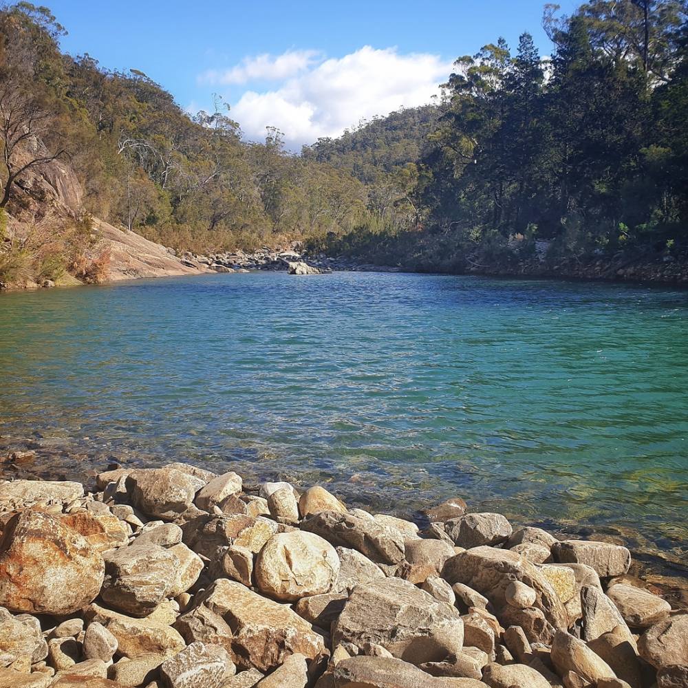
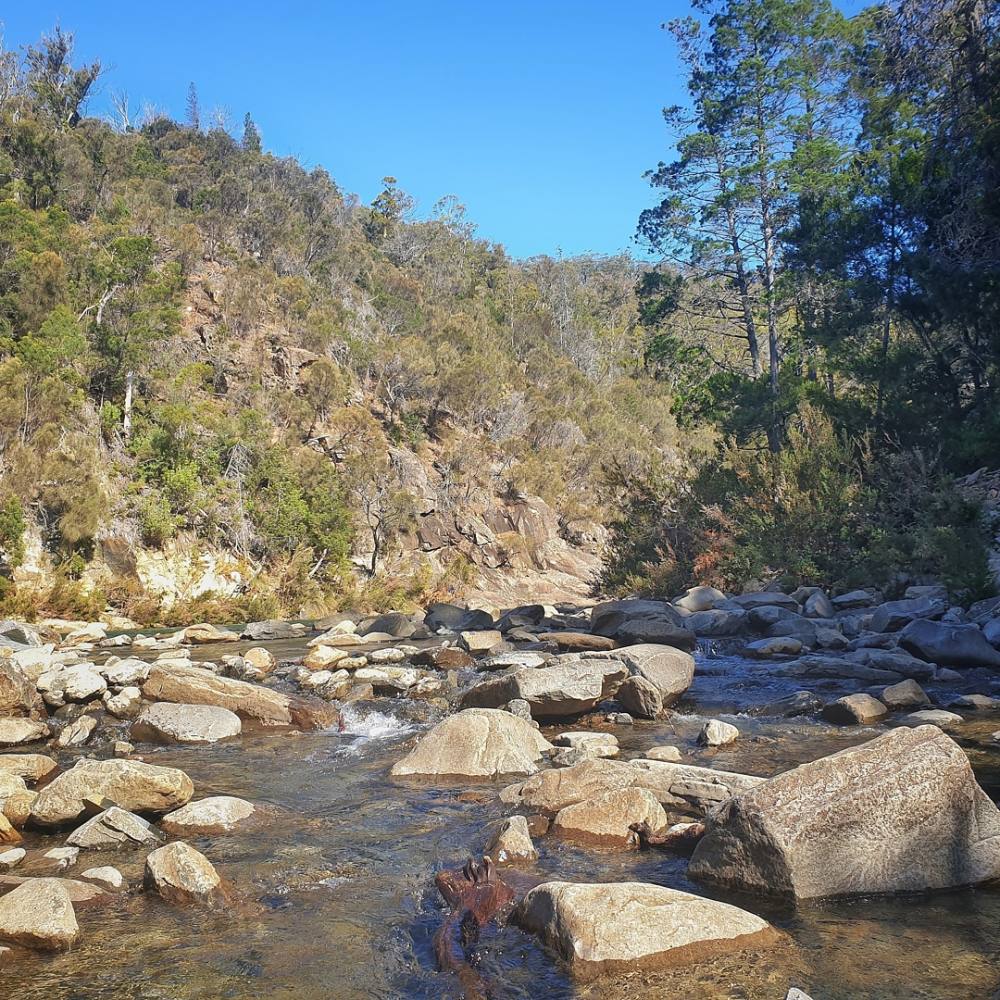
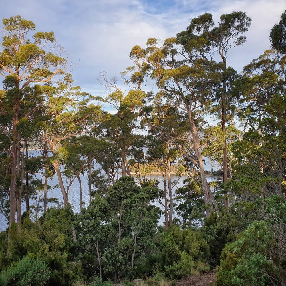
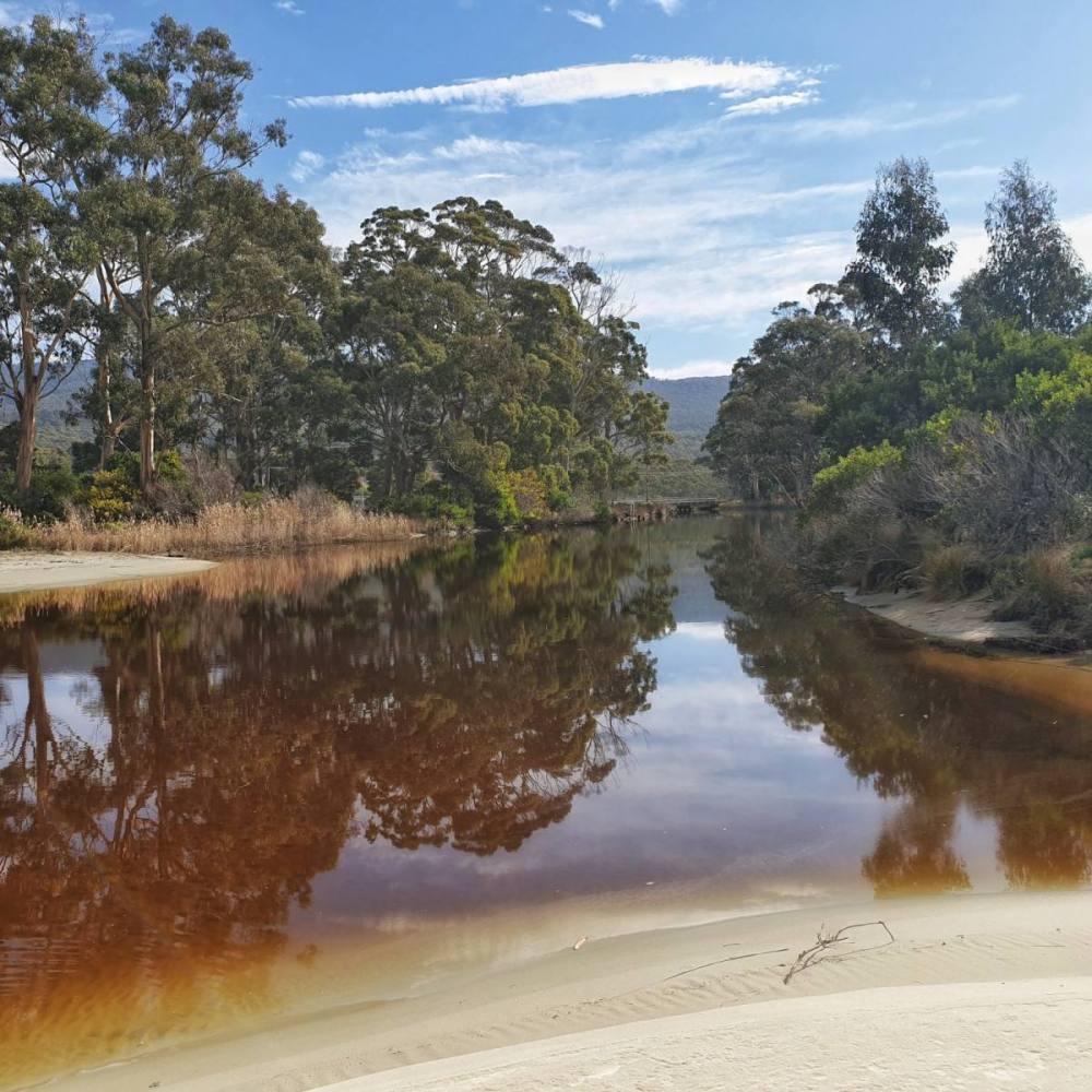
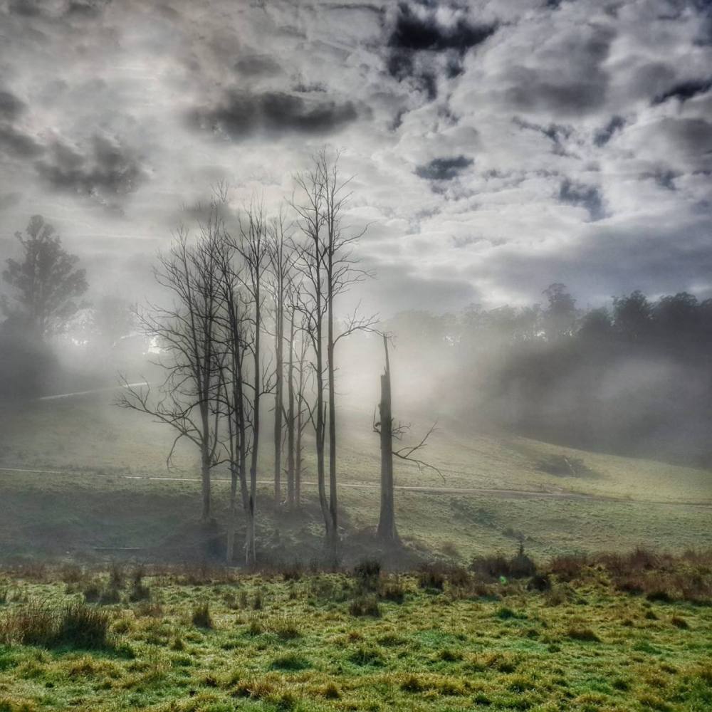
Driving north we stopped at Douglas Apsley National Park , just inland from the popular seaside town of Bicheno. We walked to the waterhole on the Apsley River. The park protects an important swathe of dry eucalypt forest that otherwise would have been lost to logging.
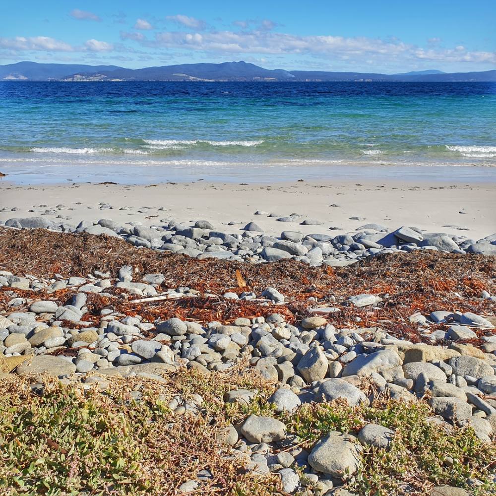
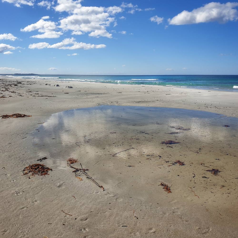
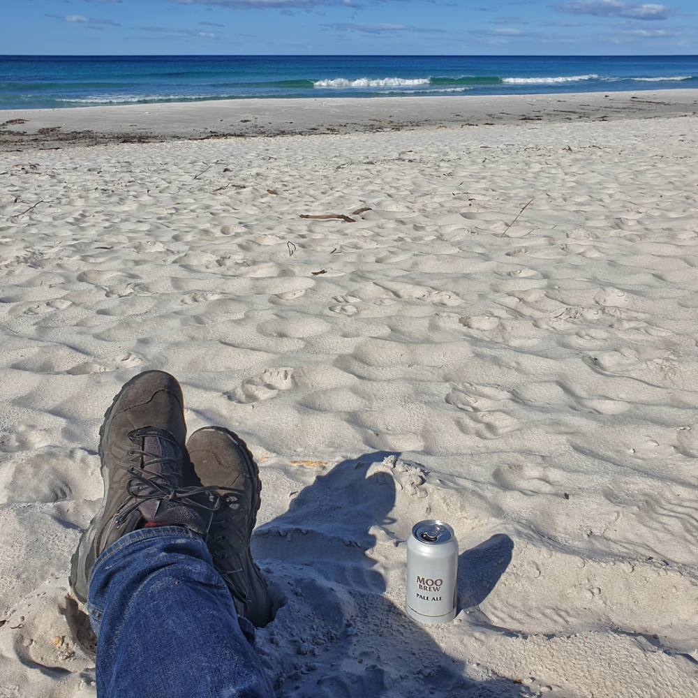
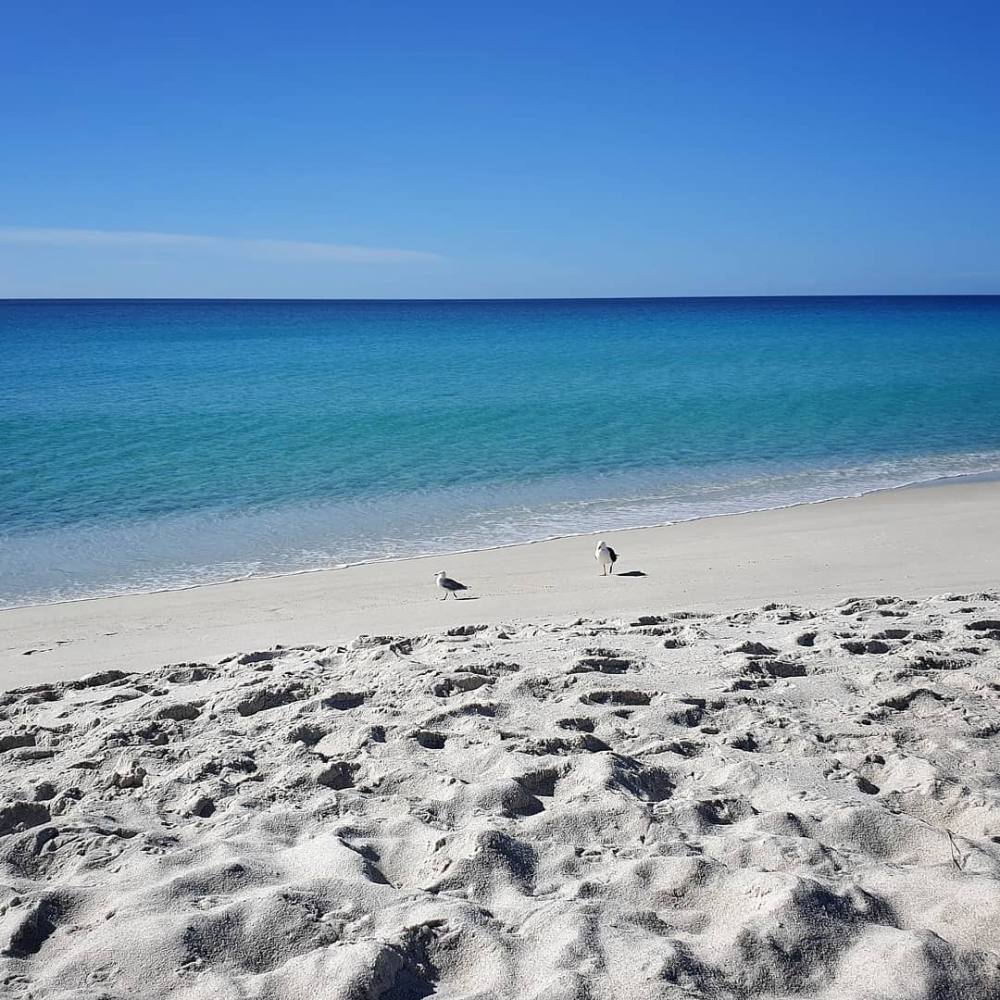
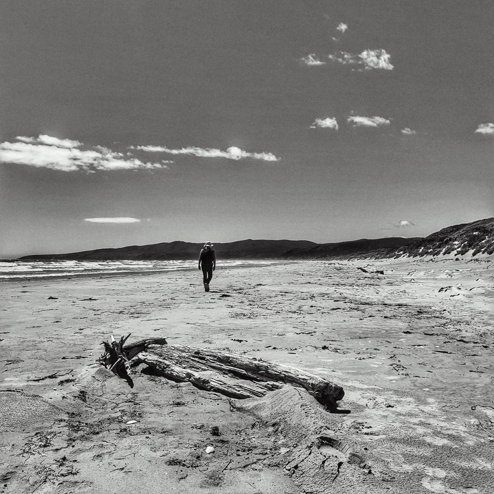
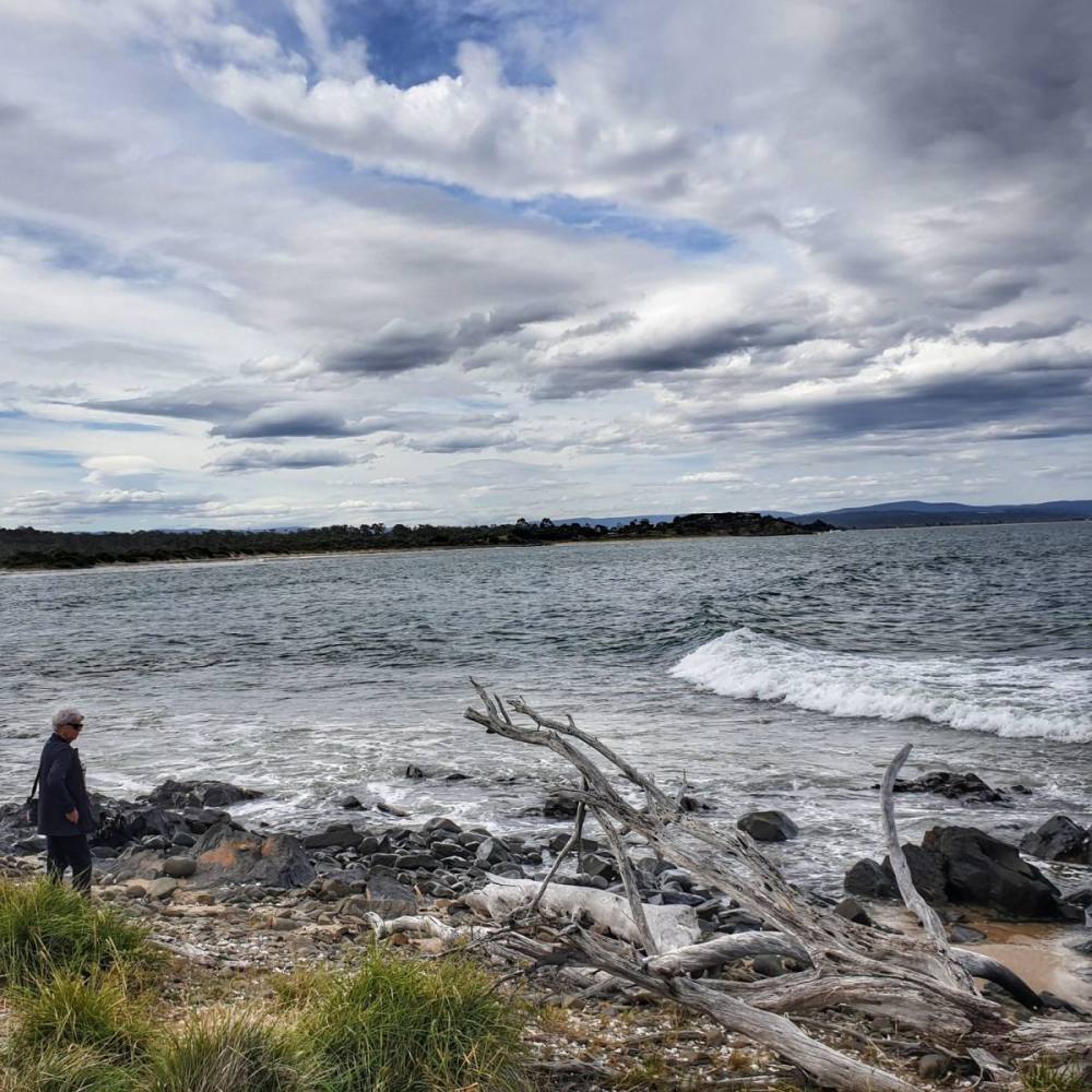
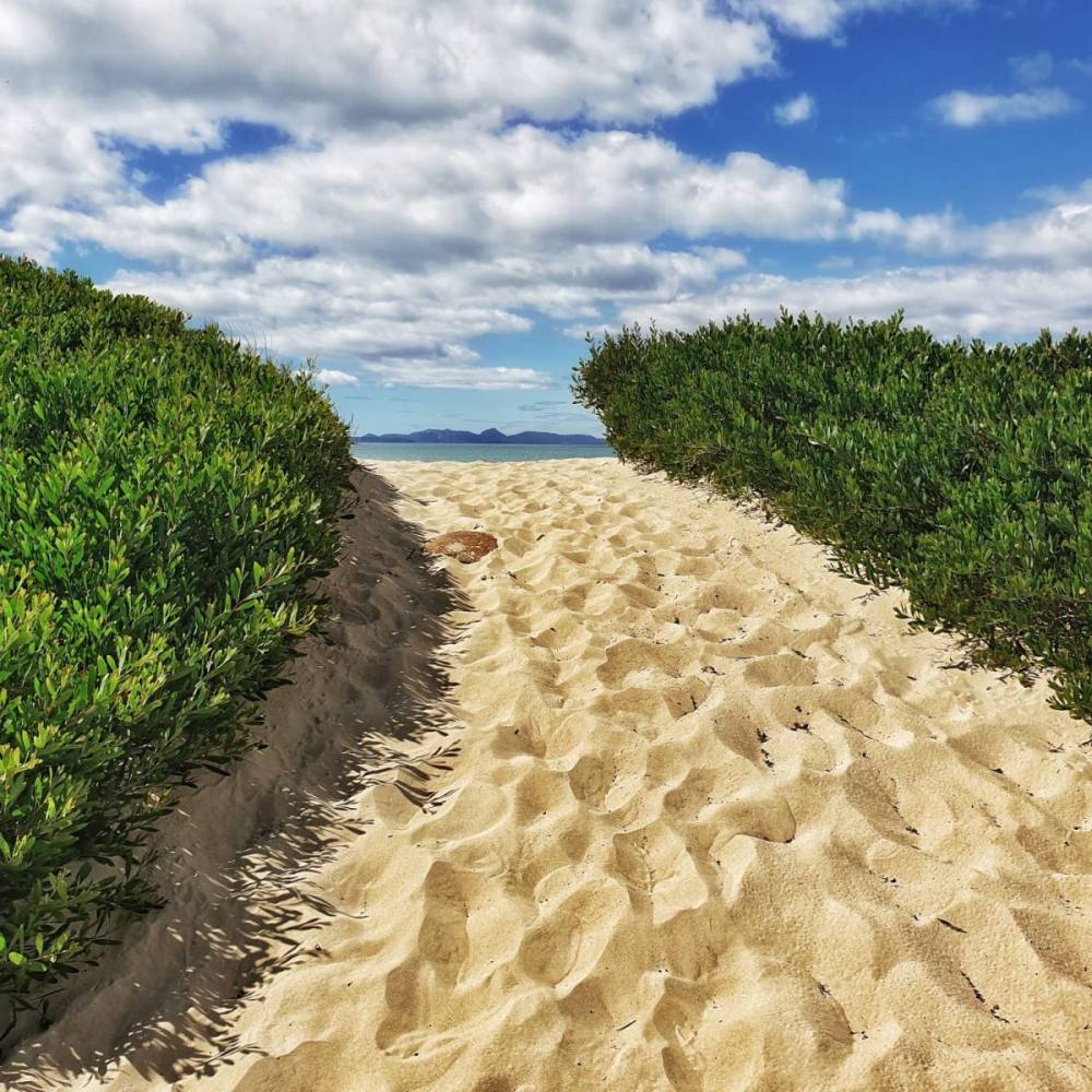
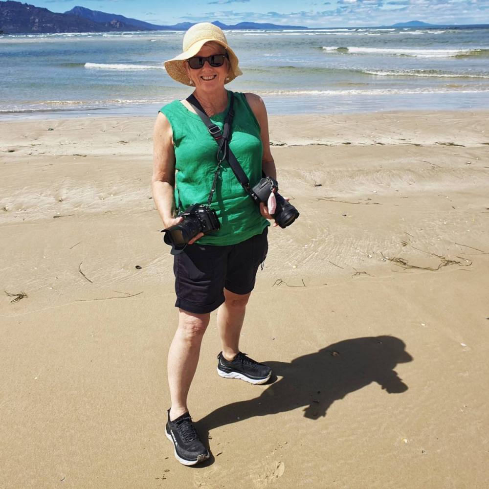
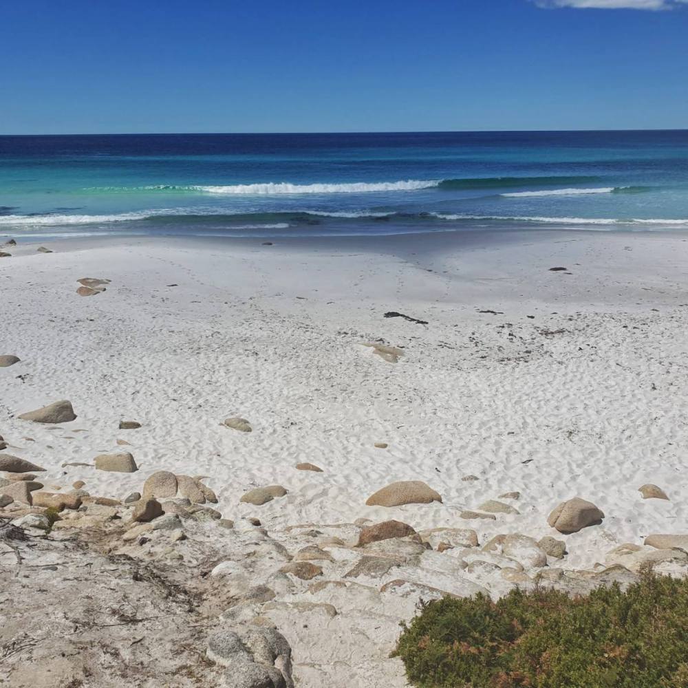
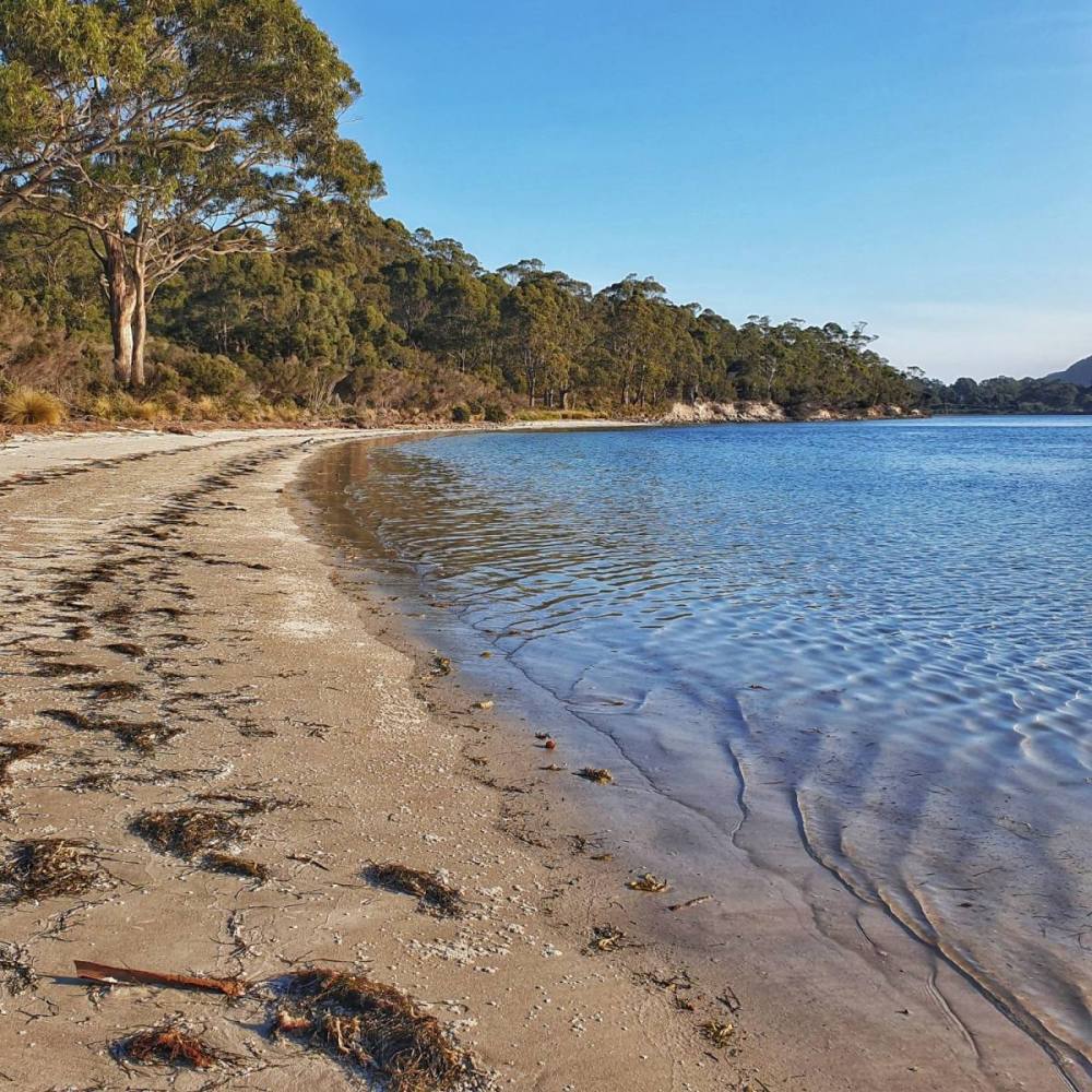
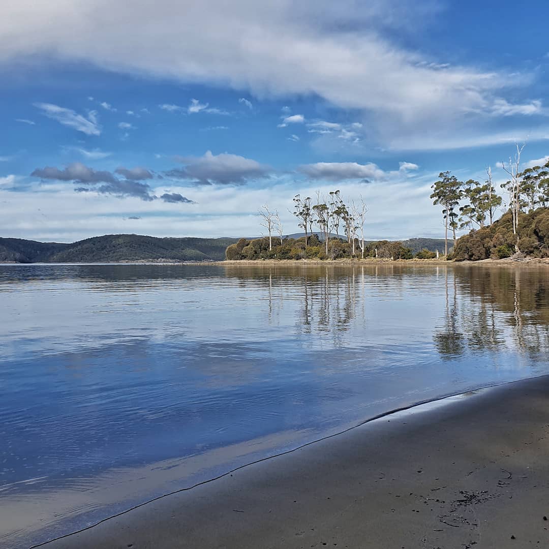
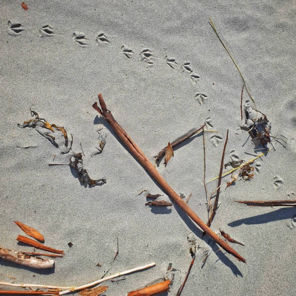
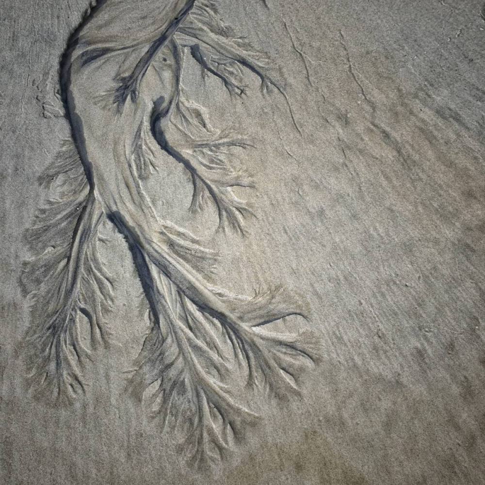
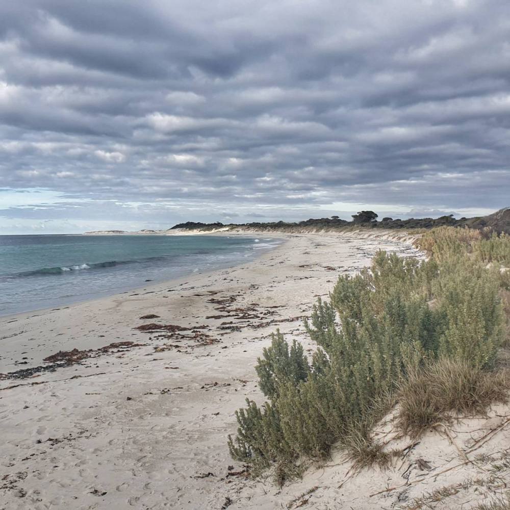
There are plenty of great beaches on the East Coast and we chose Denison Beach to stop for a picnic lunch.
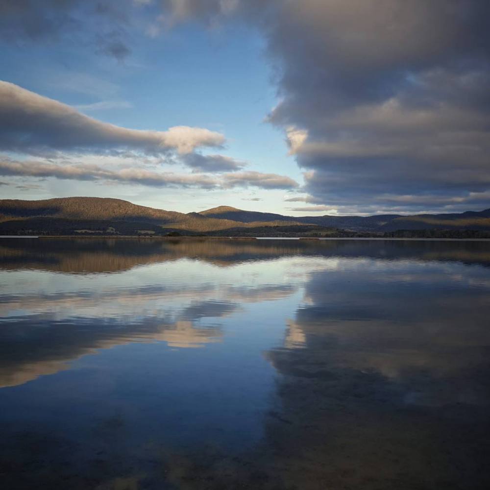
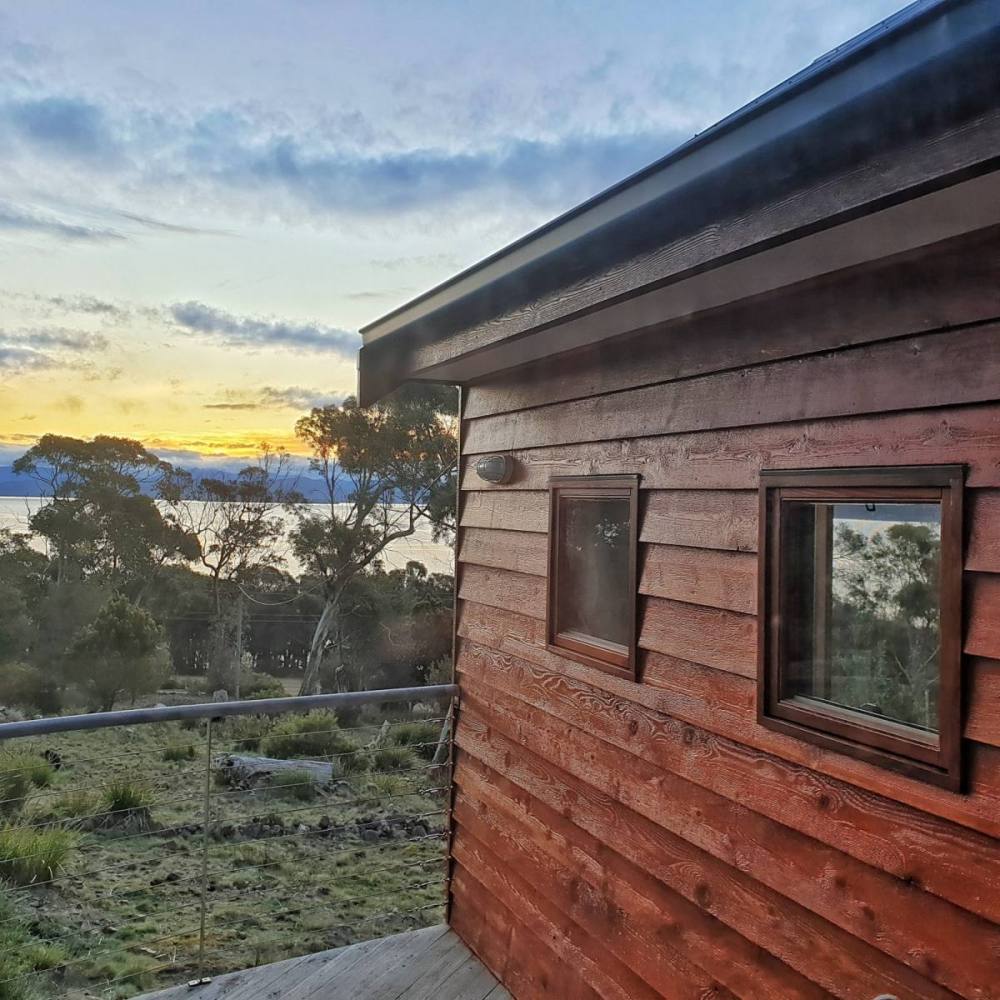
Drove on to St Helens where we stayed in accommodation on a farm at Pelican Point, overlooking Georges Bay.
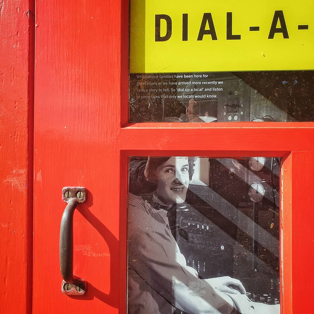
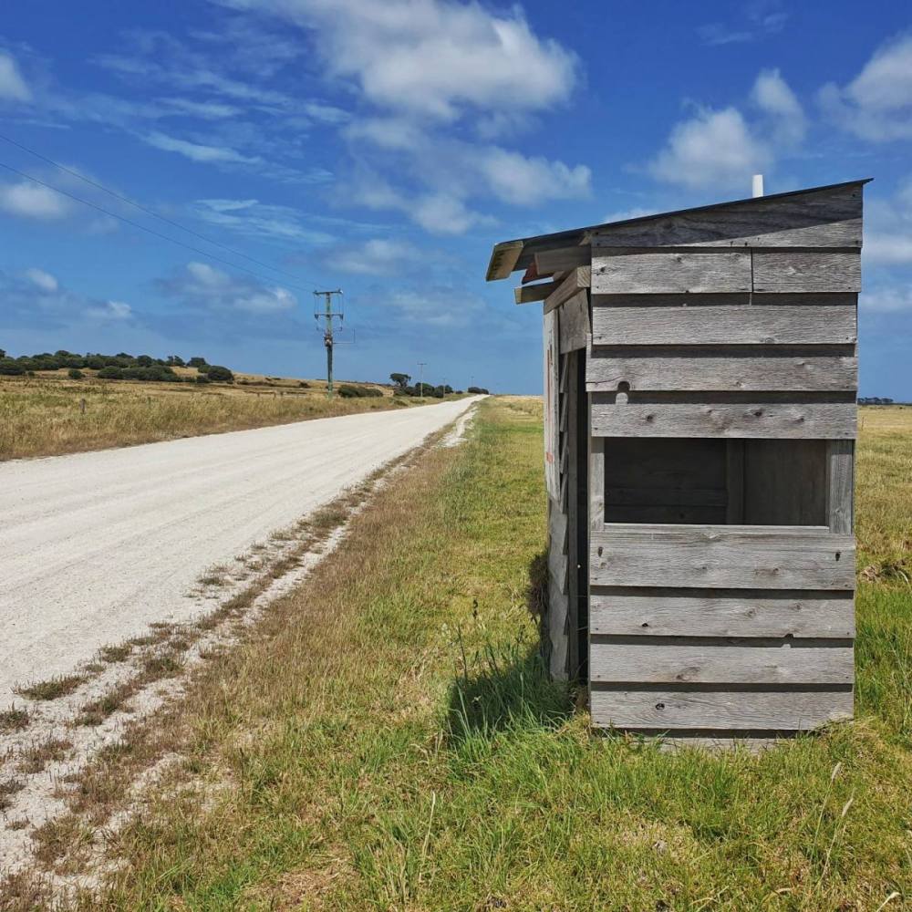
St Helens doesn’t bend over backwards to welcome tourists, and you’re better off pushing on for another 10 kms to the beautiful Binalong Bay.
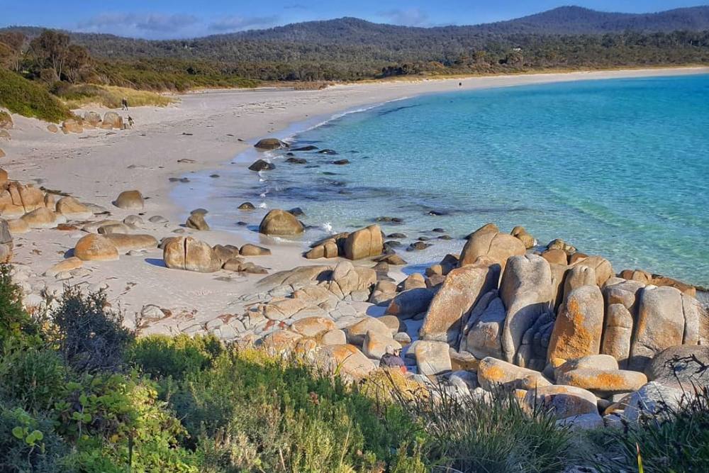
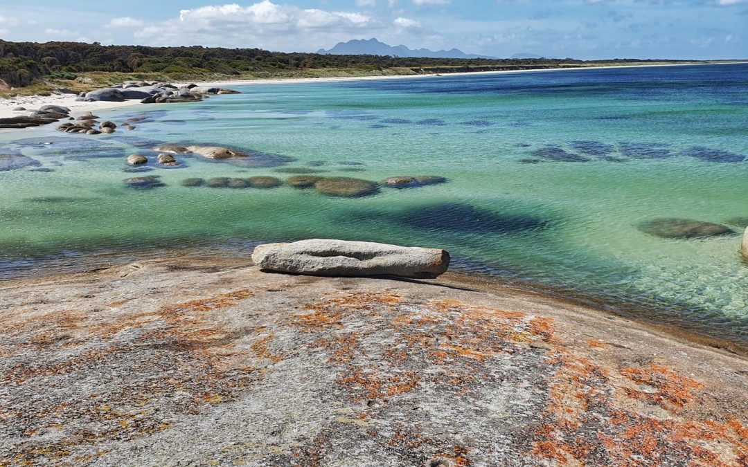
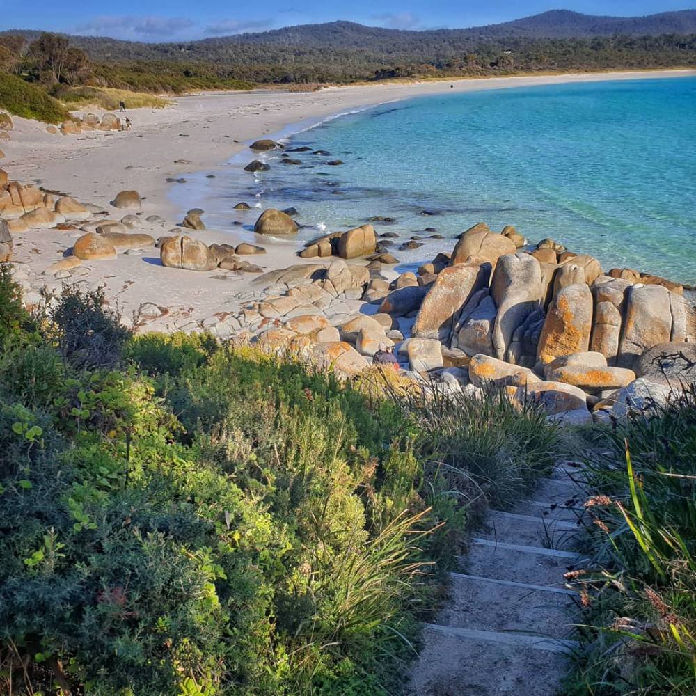
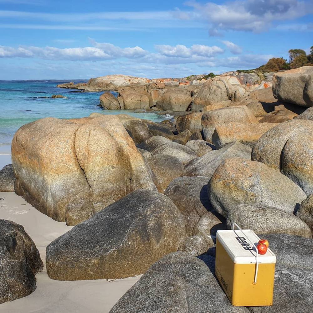
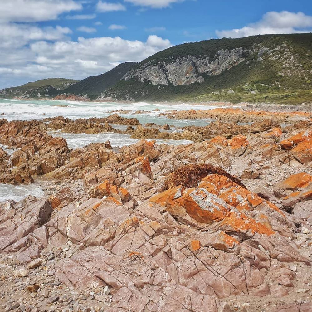
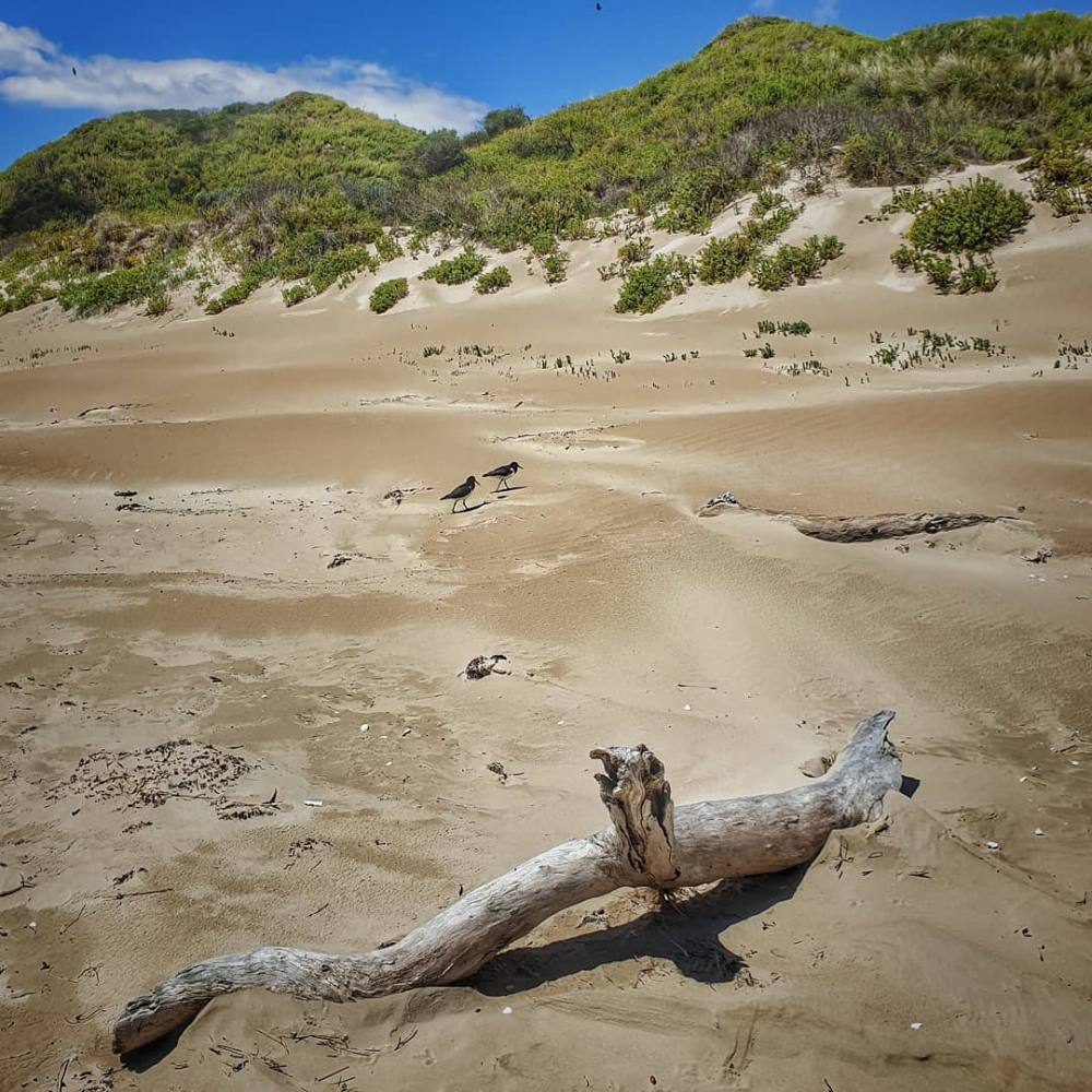
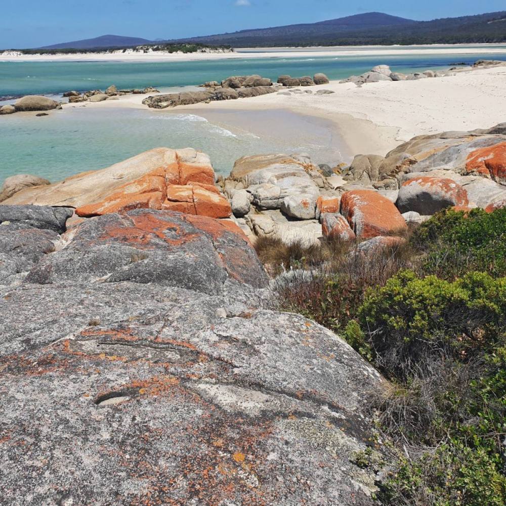
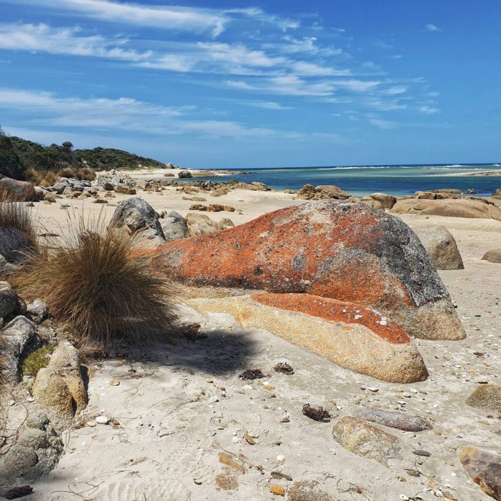
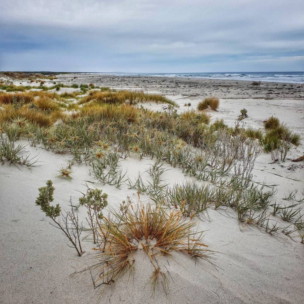
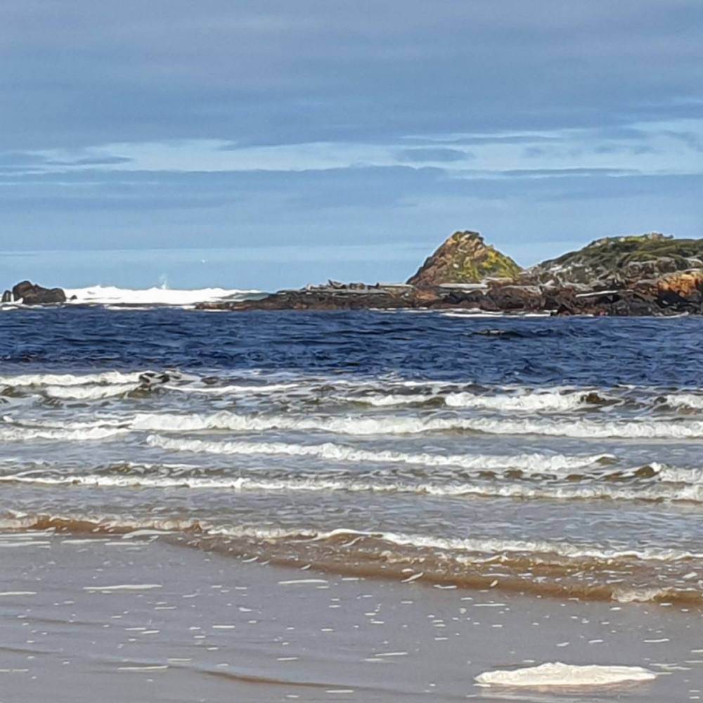
Coming back out of Binalong we turned right into Gardens Road (C848) which runs along the edge of the Bay of Fires. The road is a dead end but one well worth taking. Driving north we stopped at Swimcart Beach for a wander. Just before you reach The Gardens the road doglegs around Suicide Beach which (despite the gruesome name) deserves a stop for its spectacular views to the south.
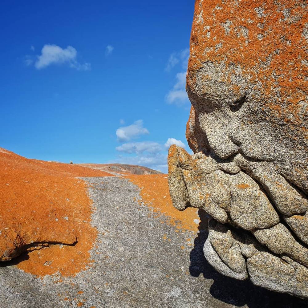
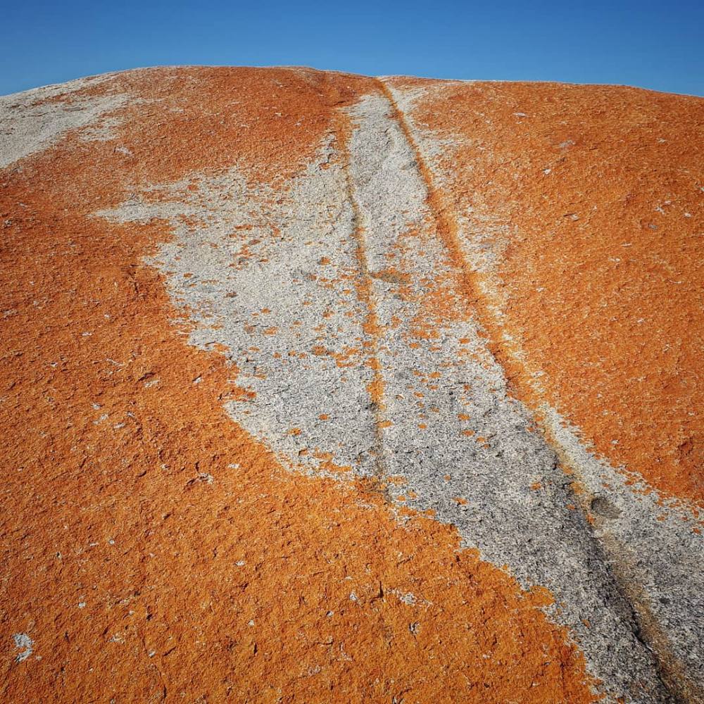
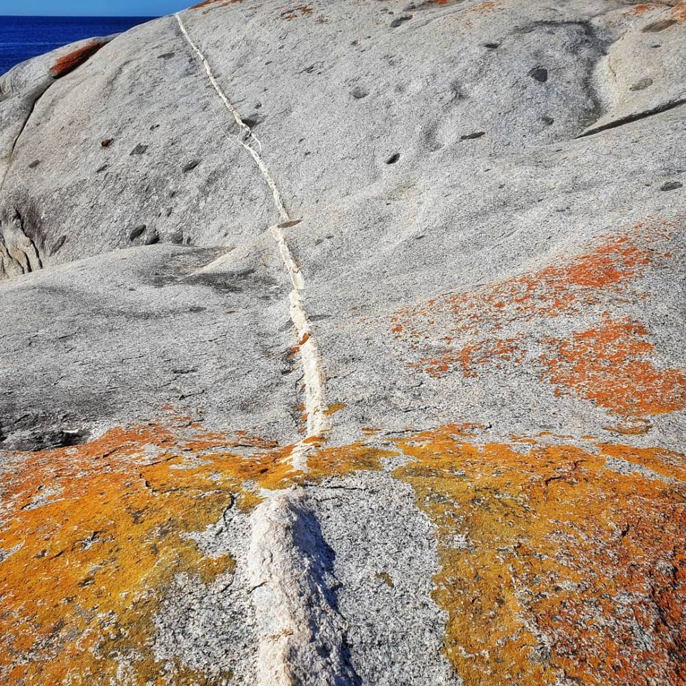
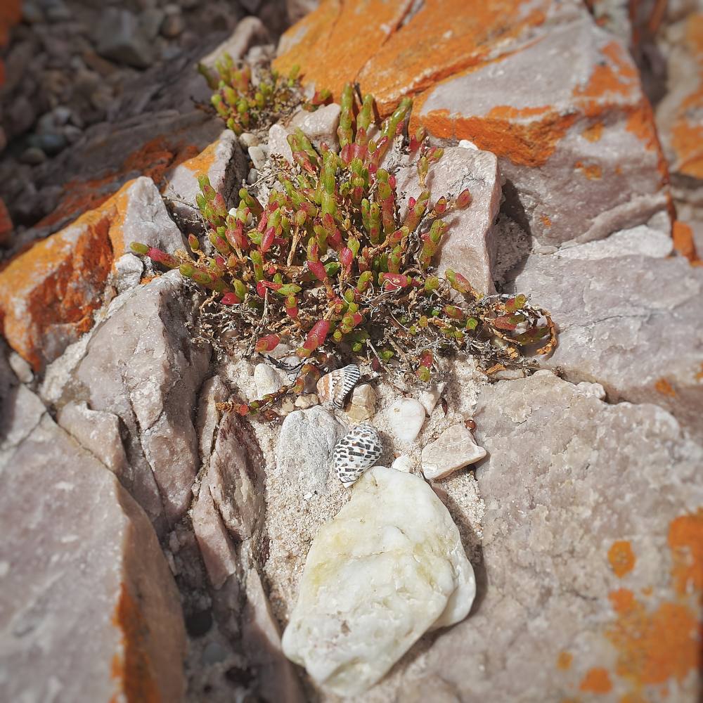
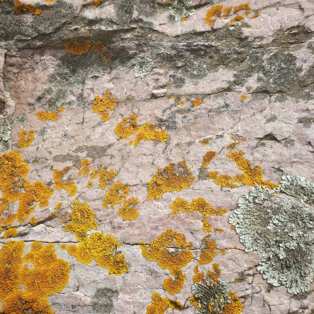
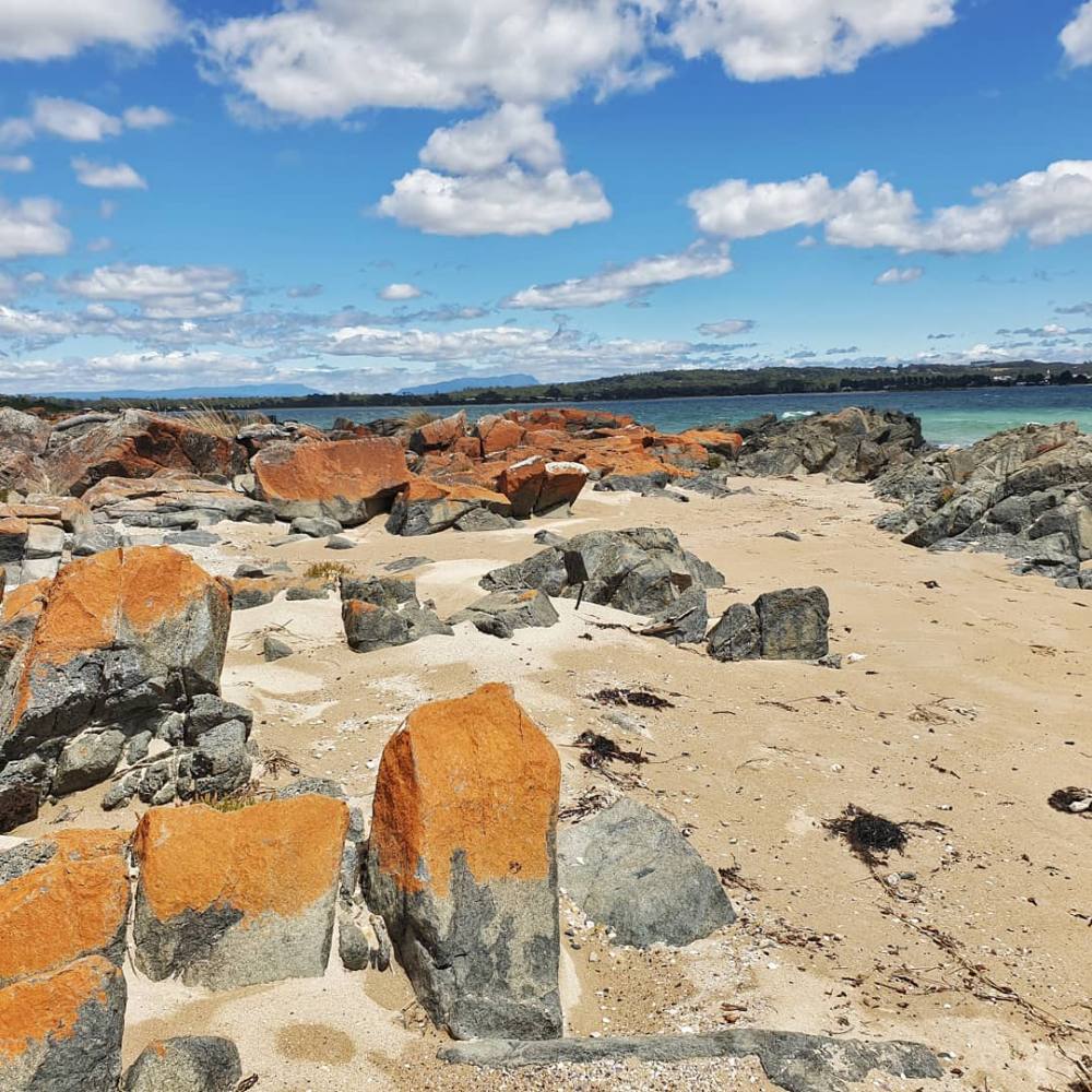
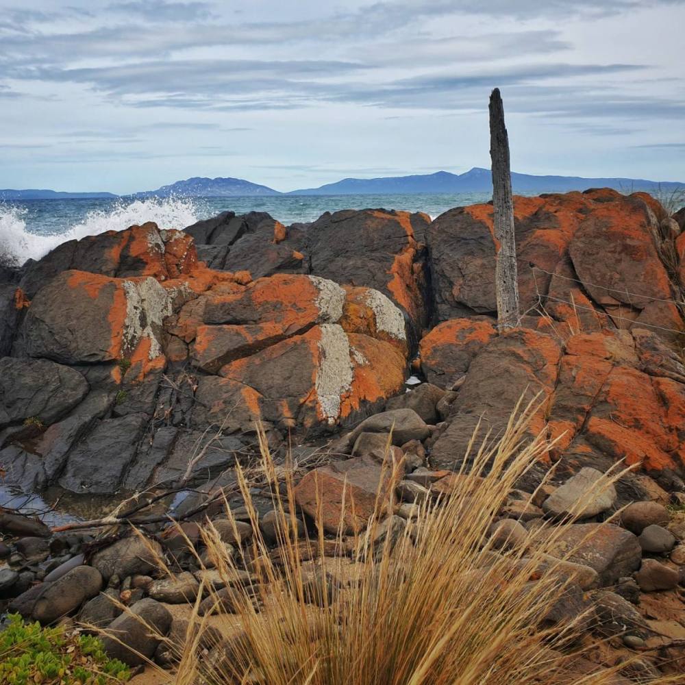
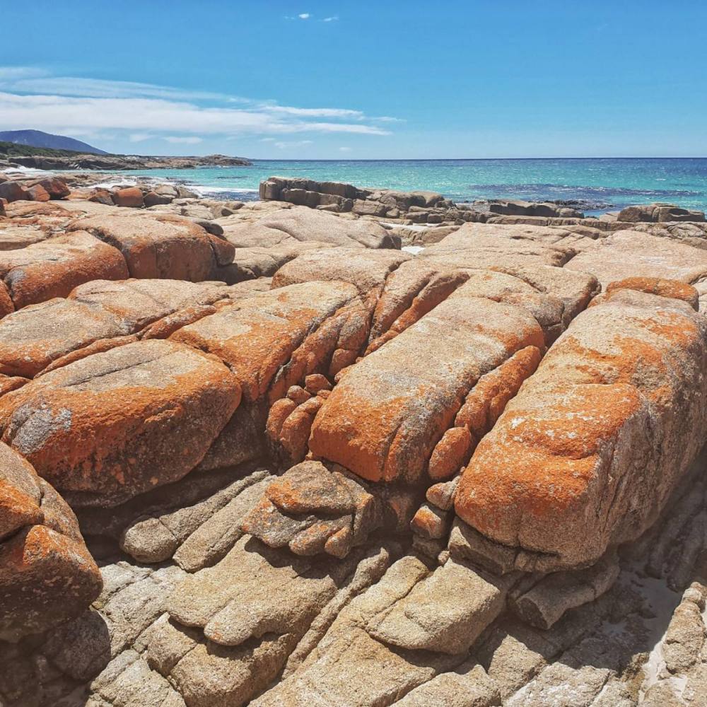
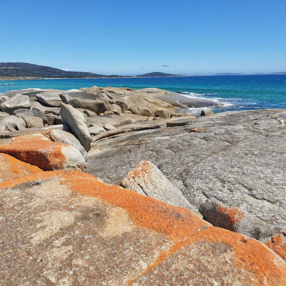
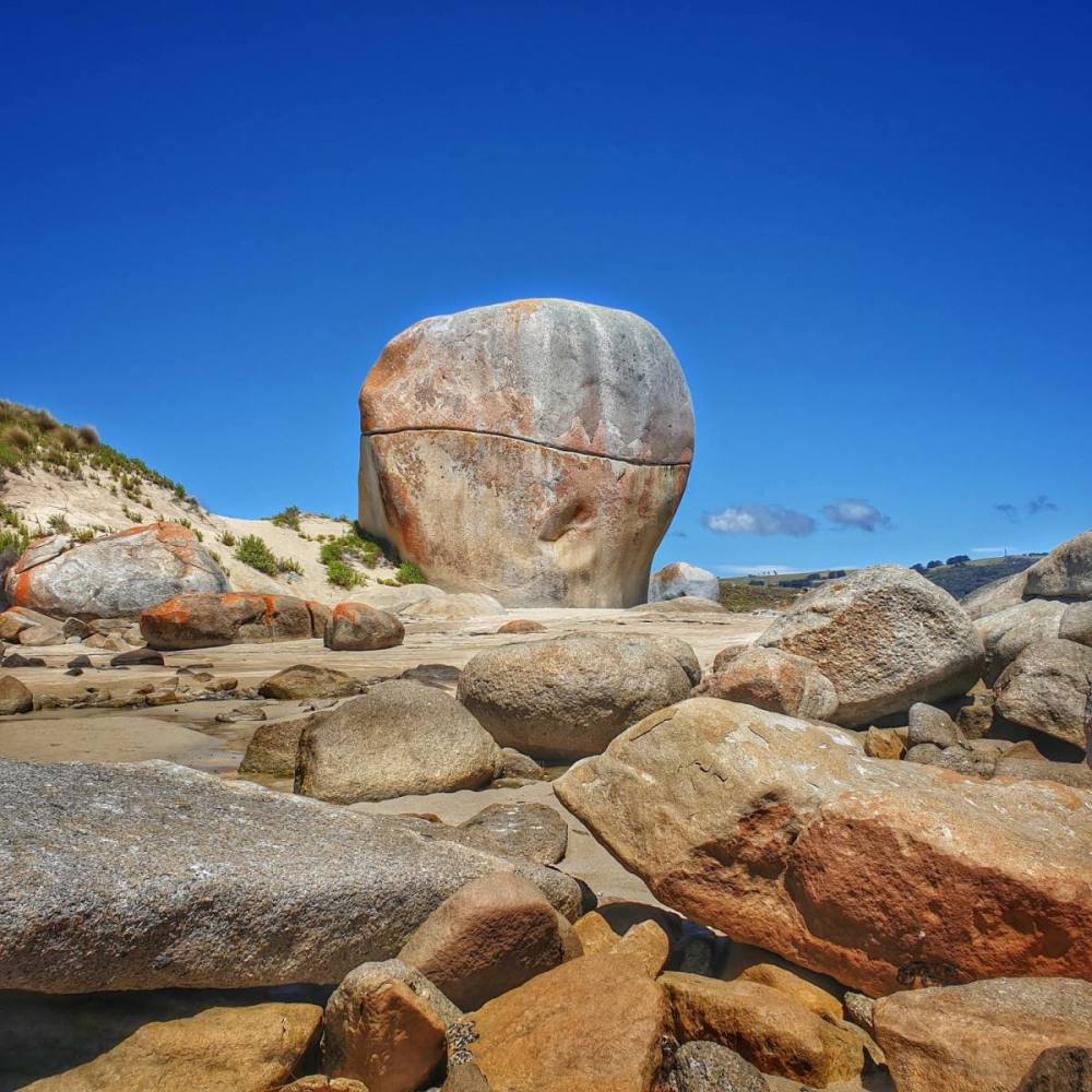
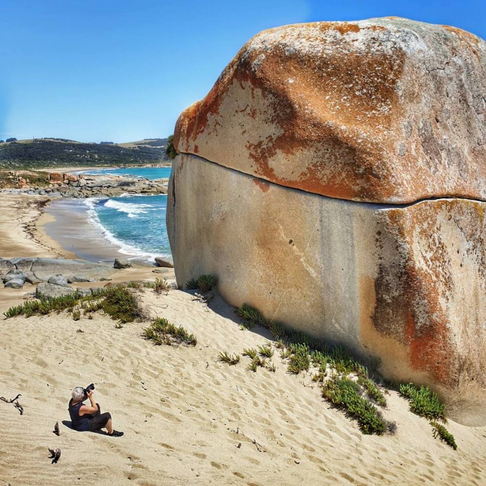
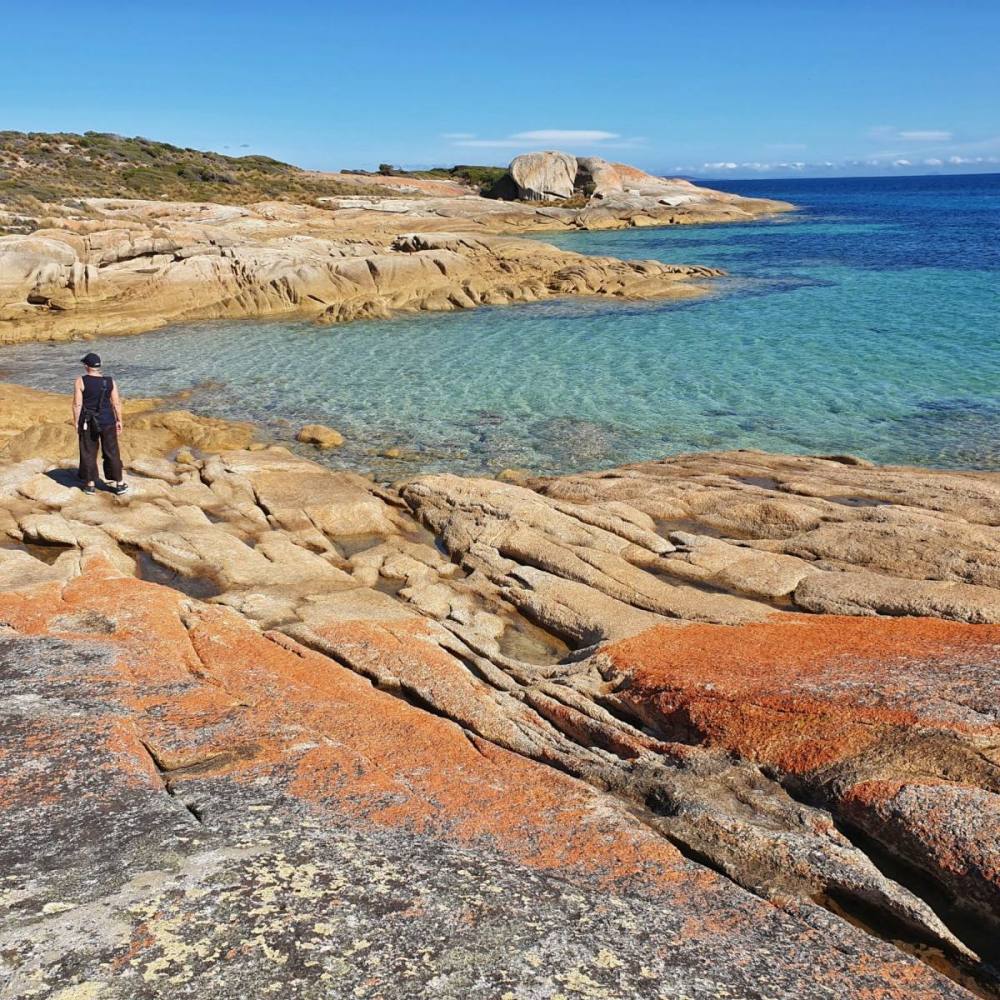
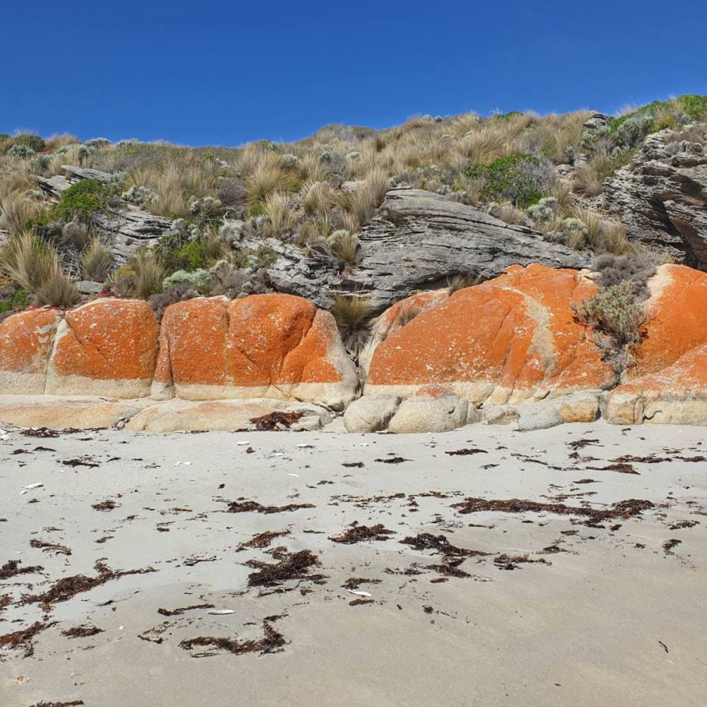
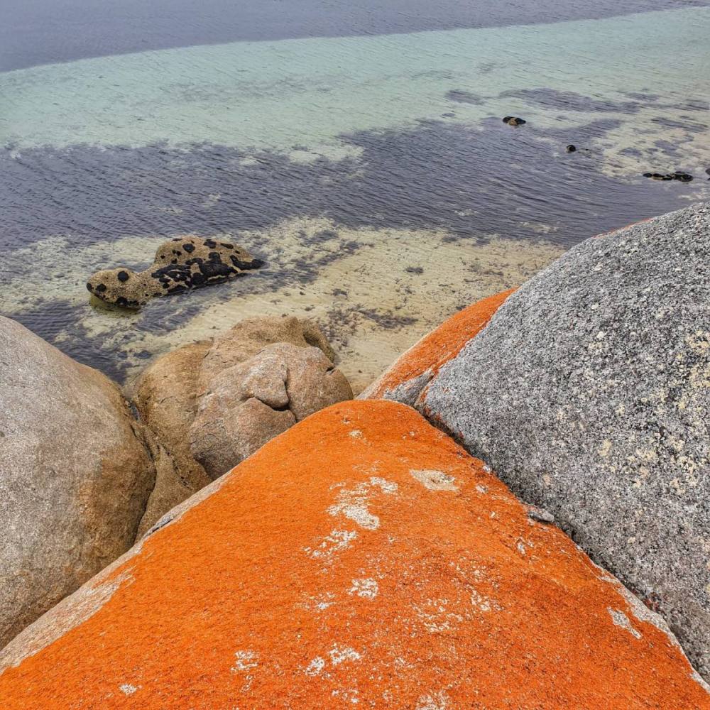
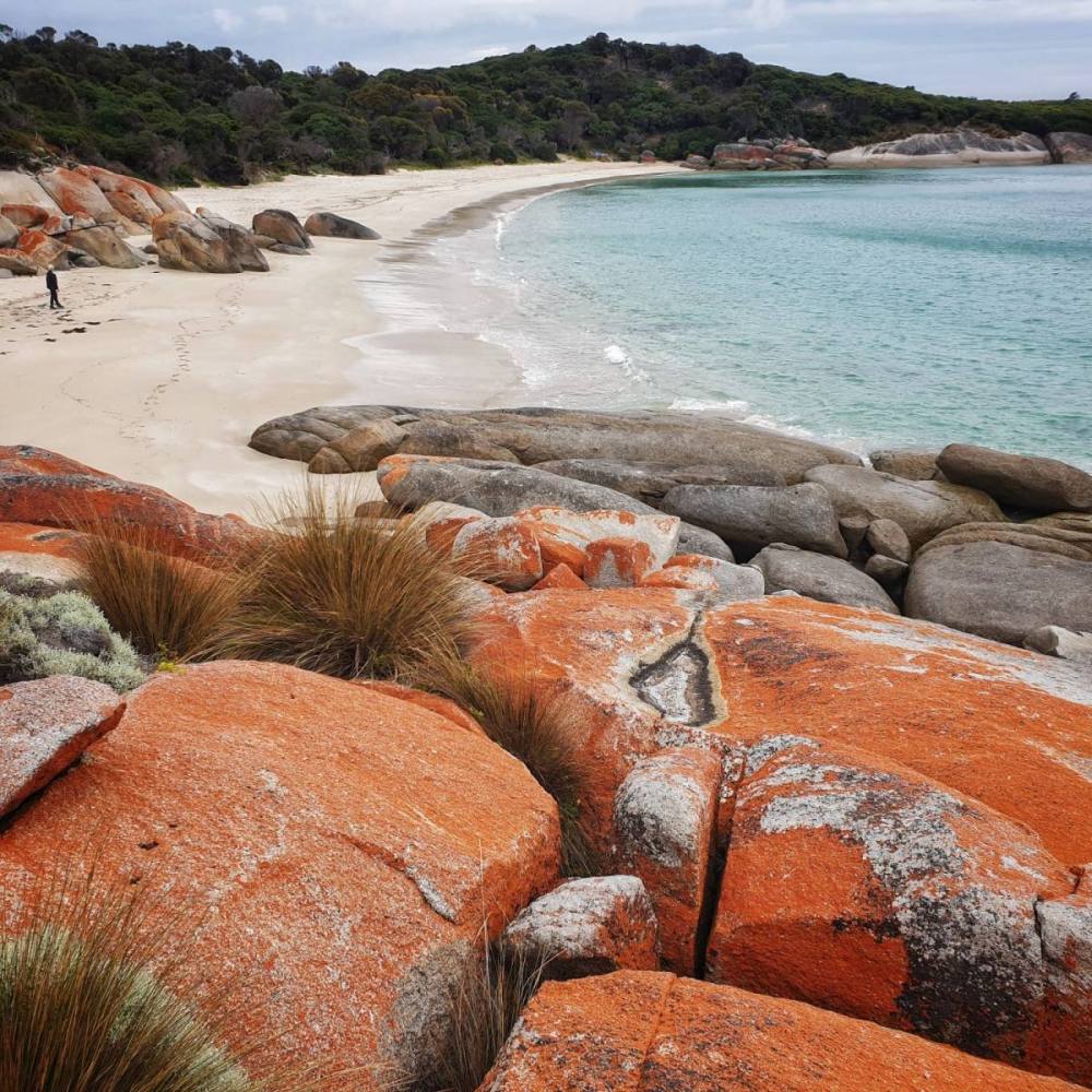
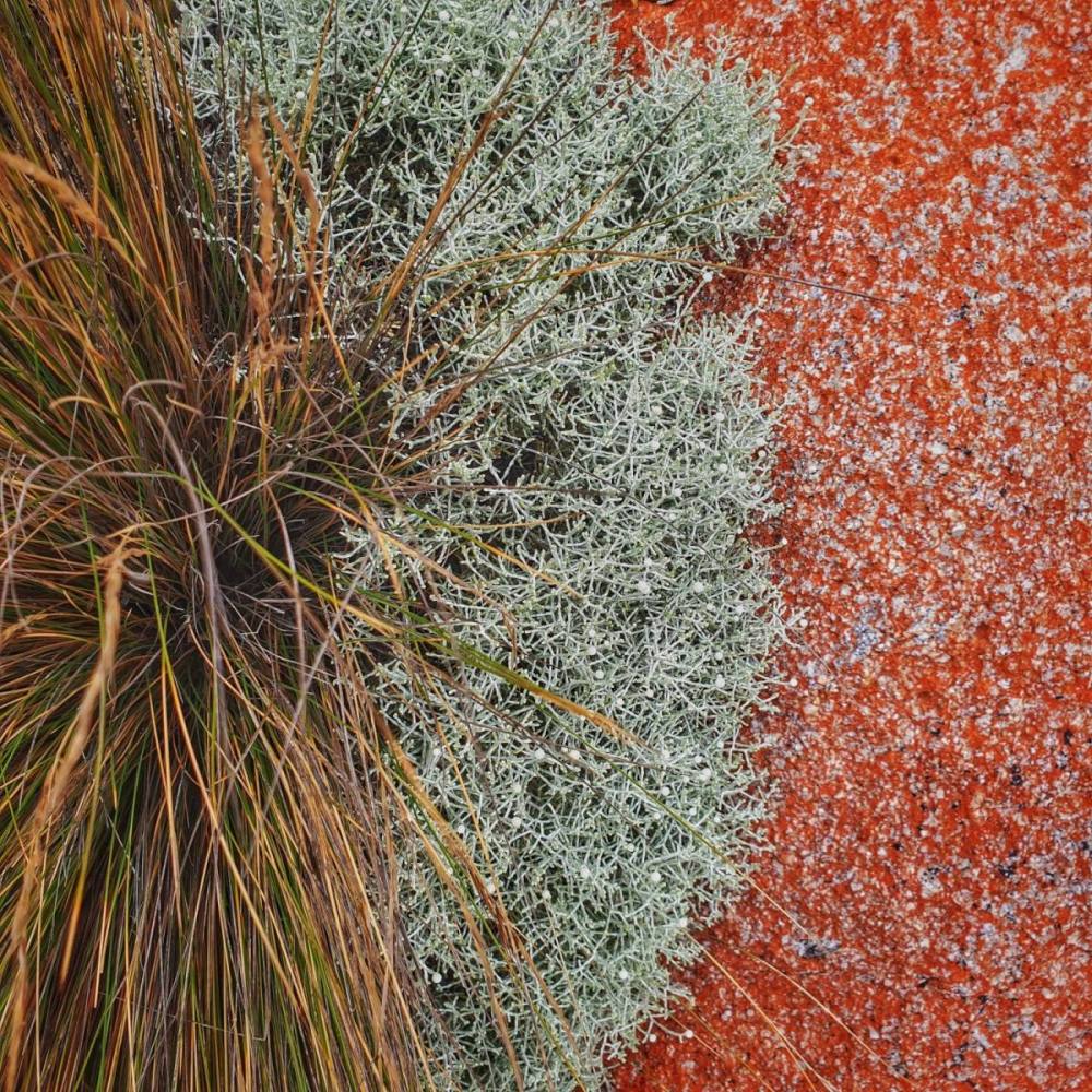
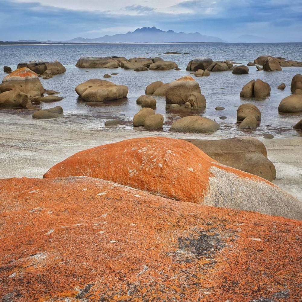
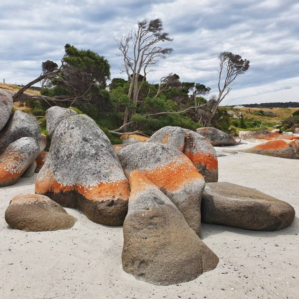
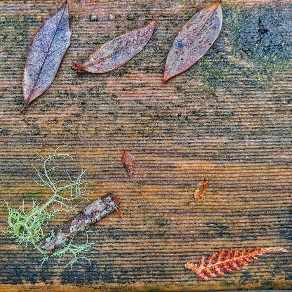
The Gardens is a glorious spot and it’s just a delight to wander amongst rock forms covered in brilliant, orange lichen.
Back tracking to Binalong we decided to head west then north along Ansons Bay Rd (C843).
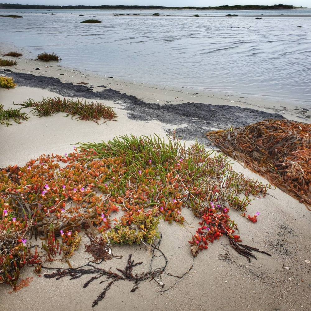
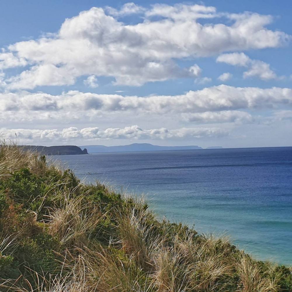
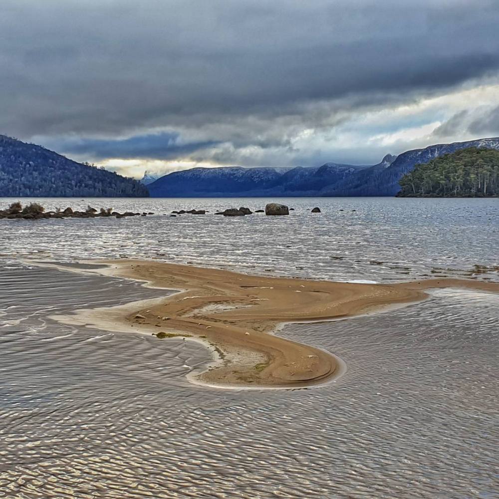
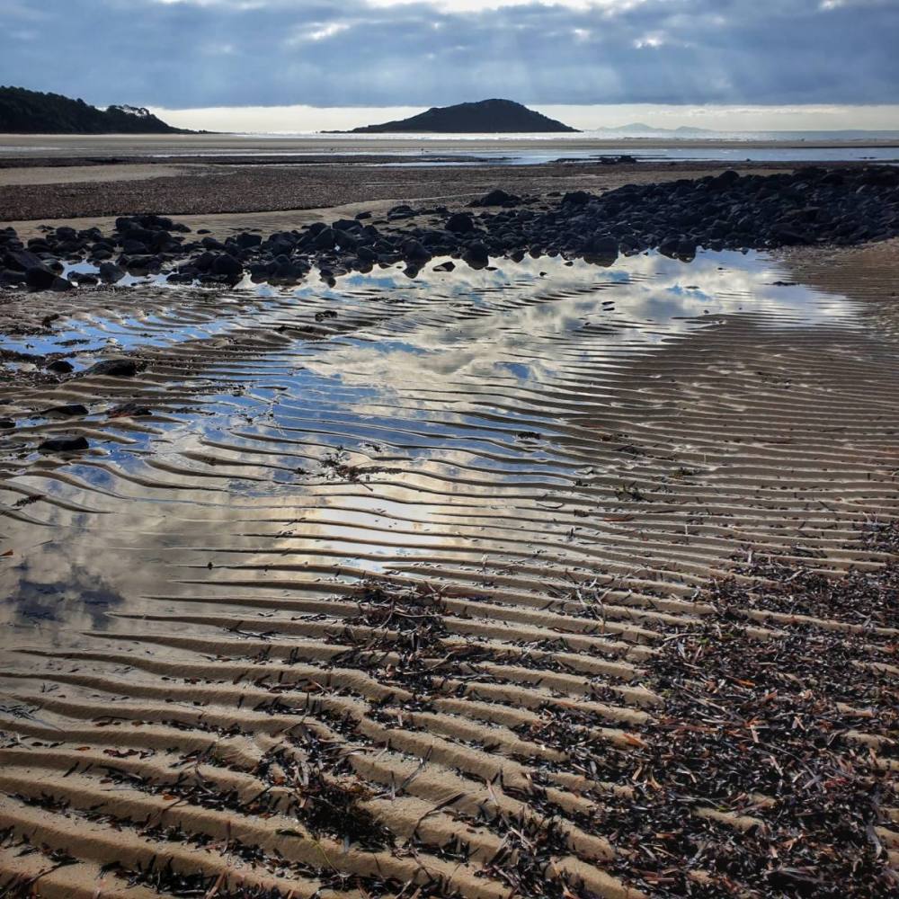
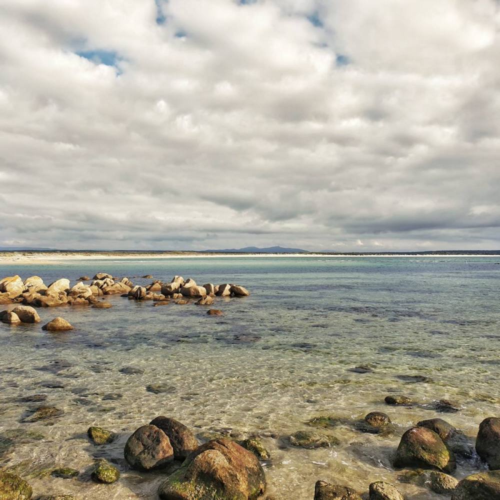
Ansons Bay is an impressive inlet with notable tidal sandflats. From there it isn’t too far to Eddystone Point lighthouse. The lighthouse guards the entrance to Banks Strait and guides ships past the offshore hazards of Victoria Rocks and Georges Rocks. To the aboriginal community Eddystone Point is known as Larapuna and in 2006 the Tasmanian Government issued a 40-year lease for the Larapuna lands surrounding the lighthouse.
Drove back to St Helens, then had a lovely dinner at Meresta Eatery in Binalong Bay. What a day.
It takes about three hours to drive from St Helens back to Hobart. We decided to go via the Midlands to visit a friend, rather than drive back down the coast.
It’s customary to break the journey along the Midlands Highway at Campbelltown which hasn’t been bypassed. This trip we decided to drive south for another 10 minutes and leave the highway to have lunch in Ross. We’d recommend it.
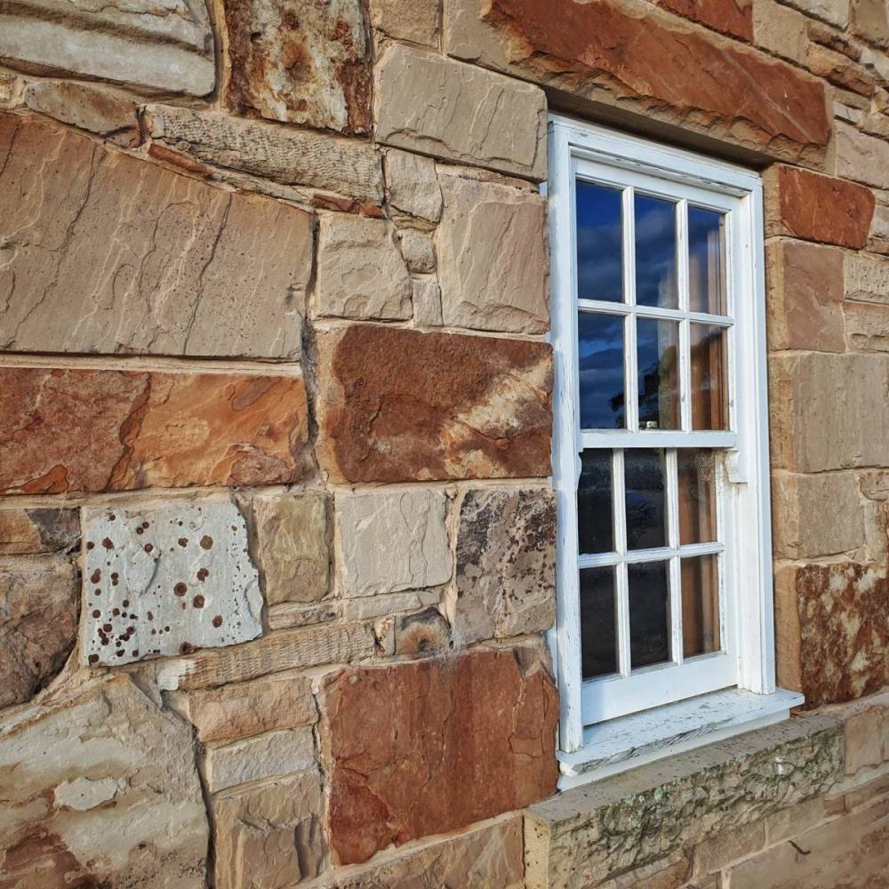
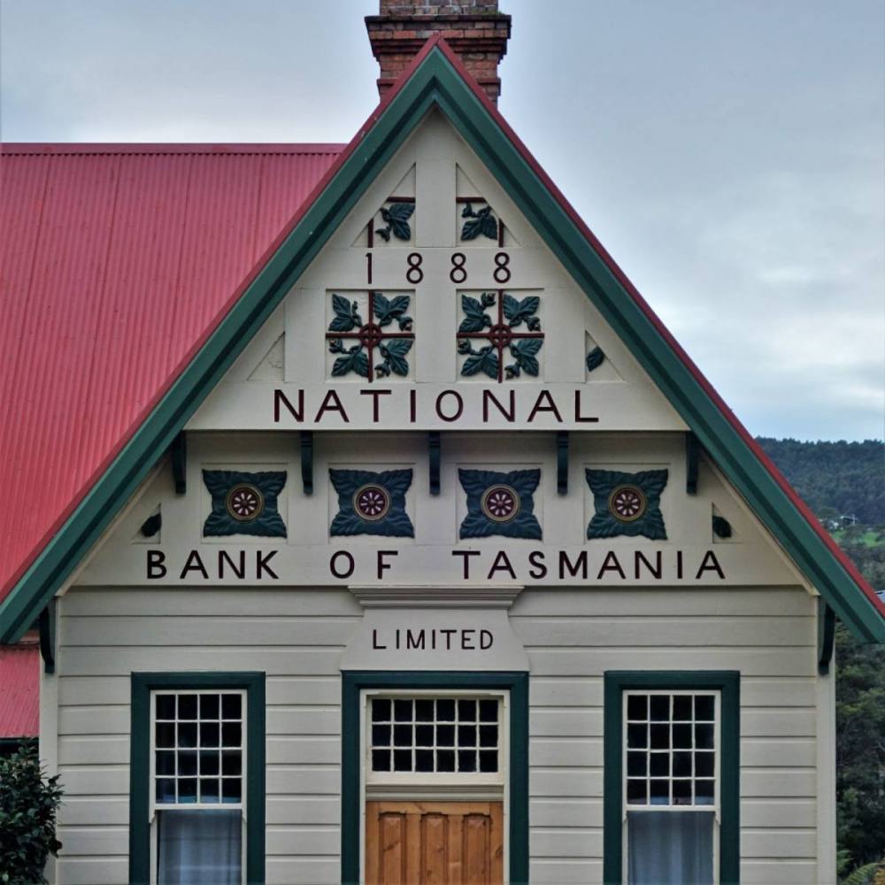
Ross is a very well-preserved historic town with many impressive sandstone buildings, and it’s listed on the Register of the National Estate.
It’s also home to the Tasmanian Wool Centre, which has a large woollen tapestry called “The Canticle, 1966” by the Australian artist John Coburn. We’re fortunate to own one of his paintings (called “The Picadors”).
After stopping off at a friend’s sheep farm in Oatlands, we arrived home in Hobart thinking about more trips to the East Coast.
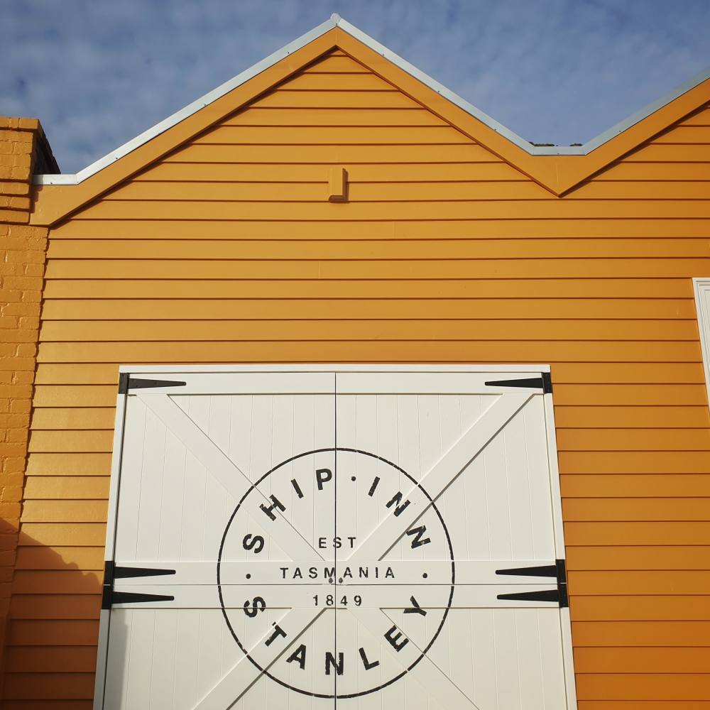
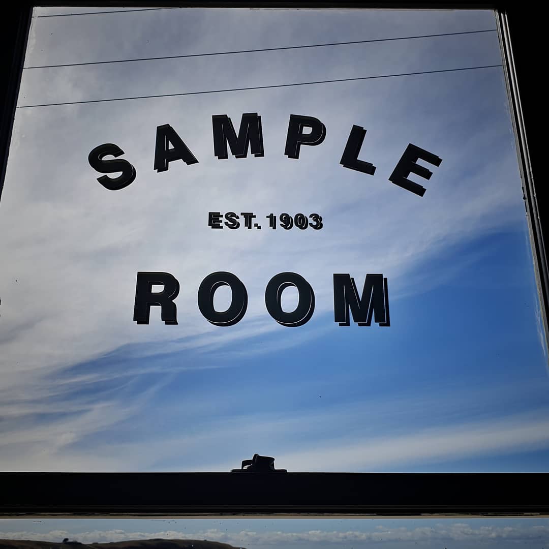
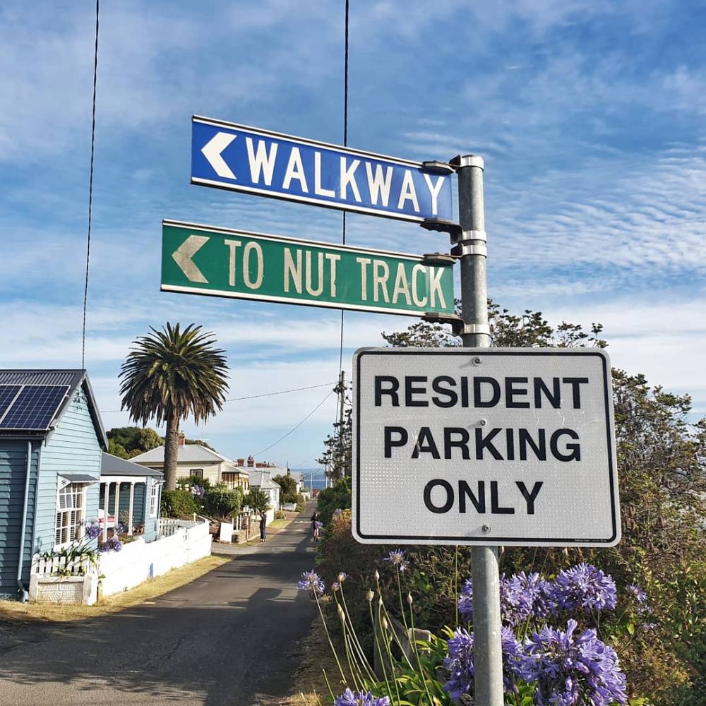
Stanley is a small (550 person) town in the far north west of Tasmania. It sits at the foot of a volcanic plug known as The Nut (munatrik).
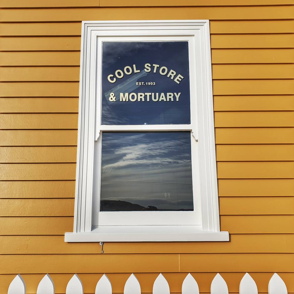
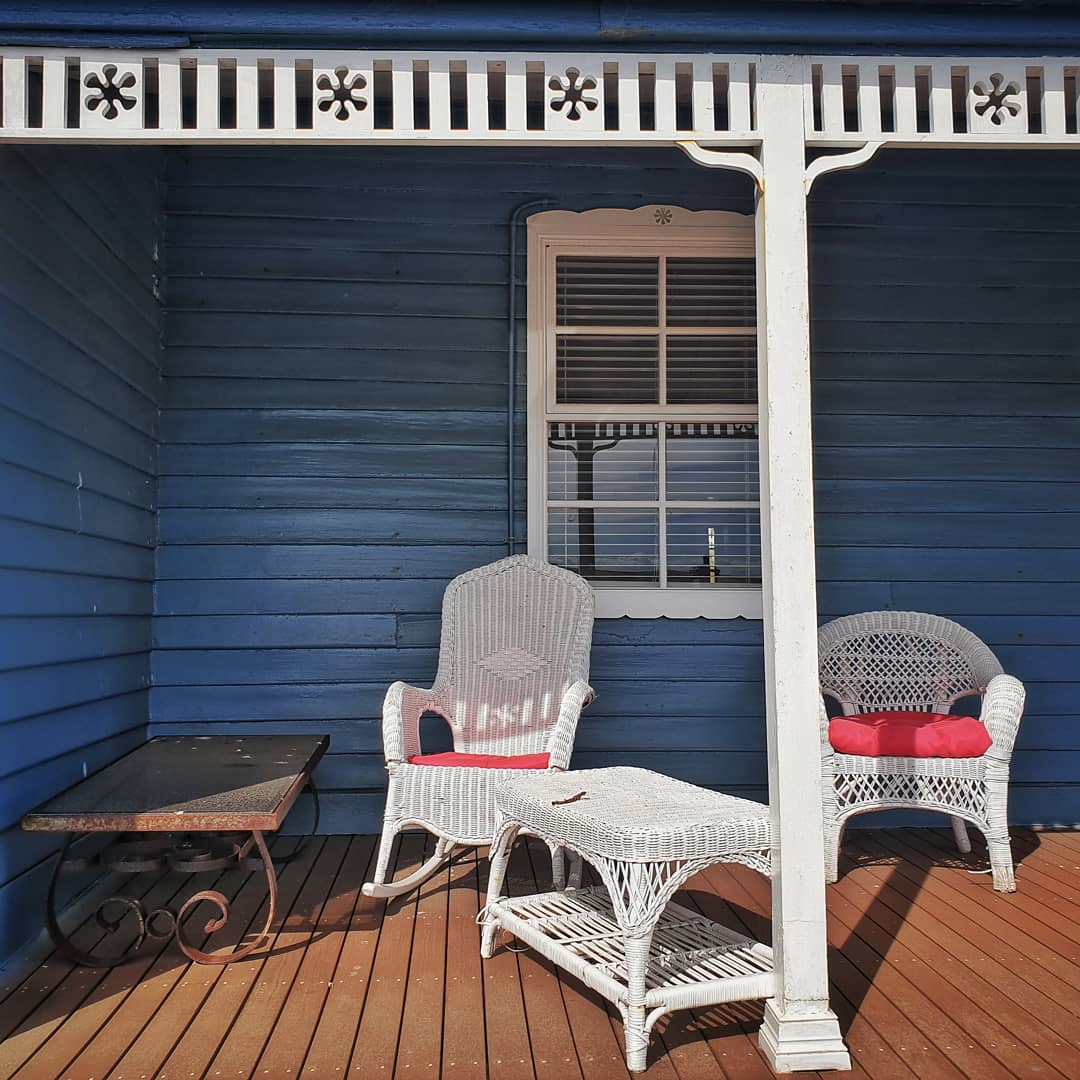
From around 1825 Stanley was the base of a farming corporation called the Van Dieman’s Land Company and the town has a number of well preserved and restored buildings from the colonial era.
It takes about five hours to drive from Hobart to Stanley.
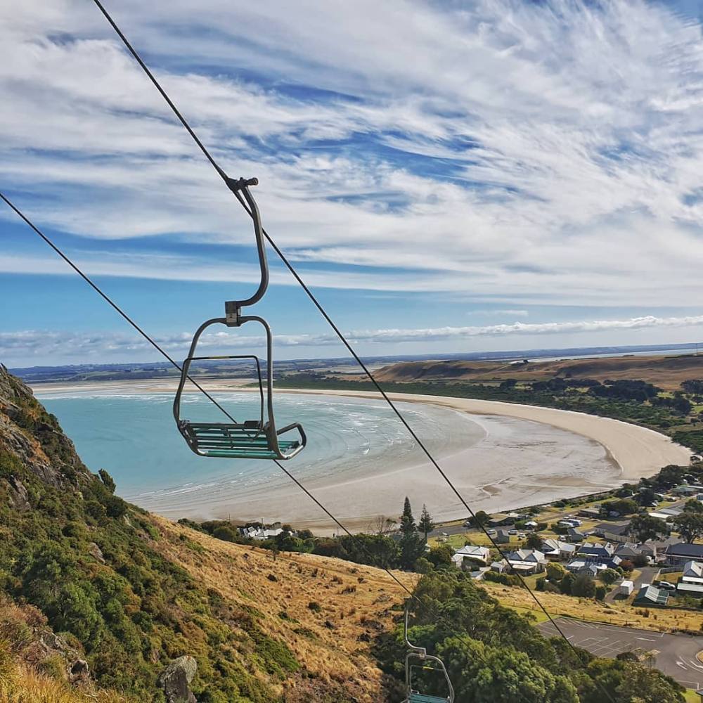
We arrived late afternoon and spent the first evening checking out colonial-era buildings then climbing to the top of the Nut with great views east to Table Cape, and west to the Bass Strait Islands.
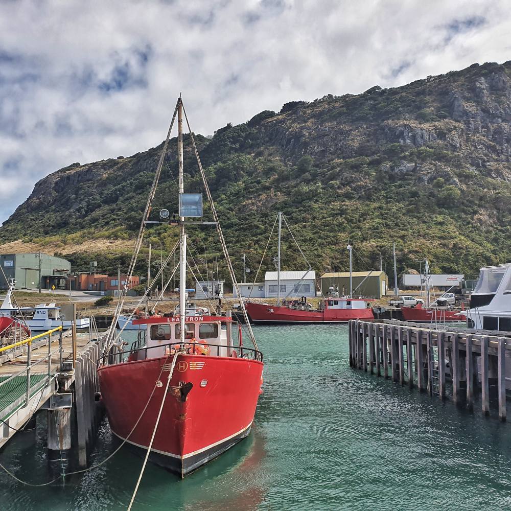
Stanley remains an active fishing port with rock lobster the speciality. We took an early morning stroll around the wharves where the distinctive red and white boats of the local fishing company were taking refuge from a howling easterly.
High winds are not uncommon in this part of the world, and the nearby Cape Grim Baseline Air Pollution Station measures atmospheric concentrations of greenhouse gases in what is some of the cleanest air on the planet.
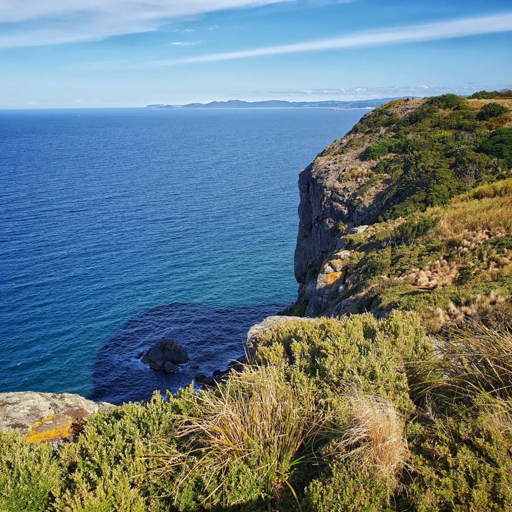
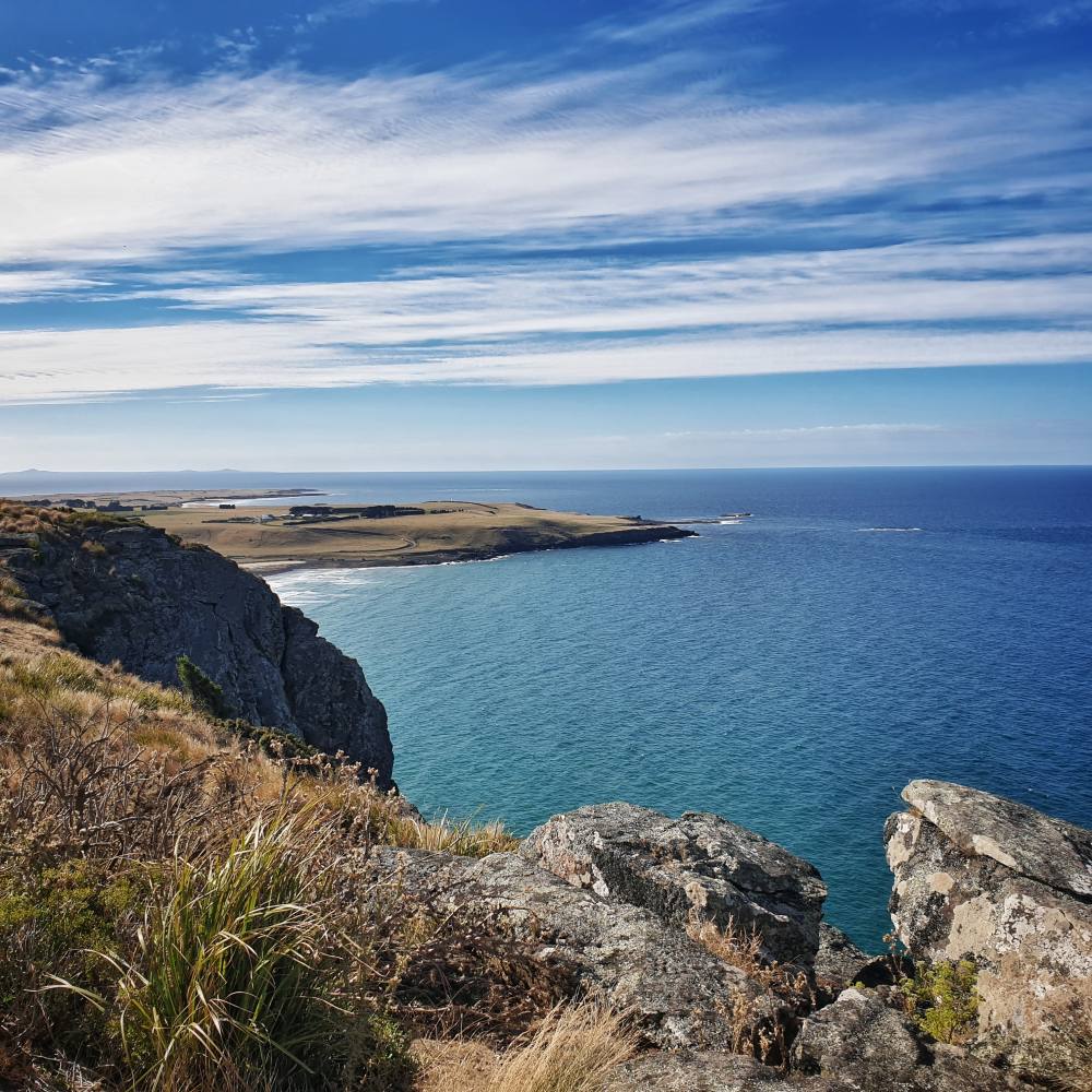
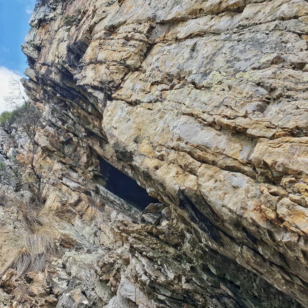
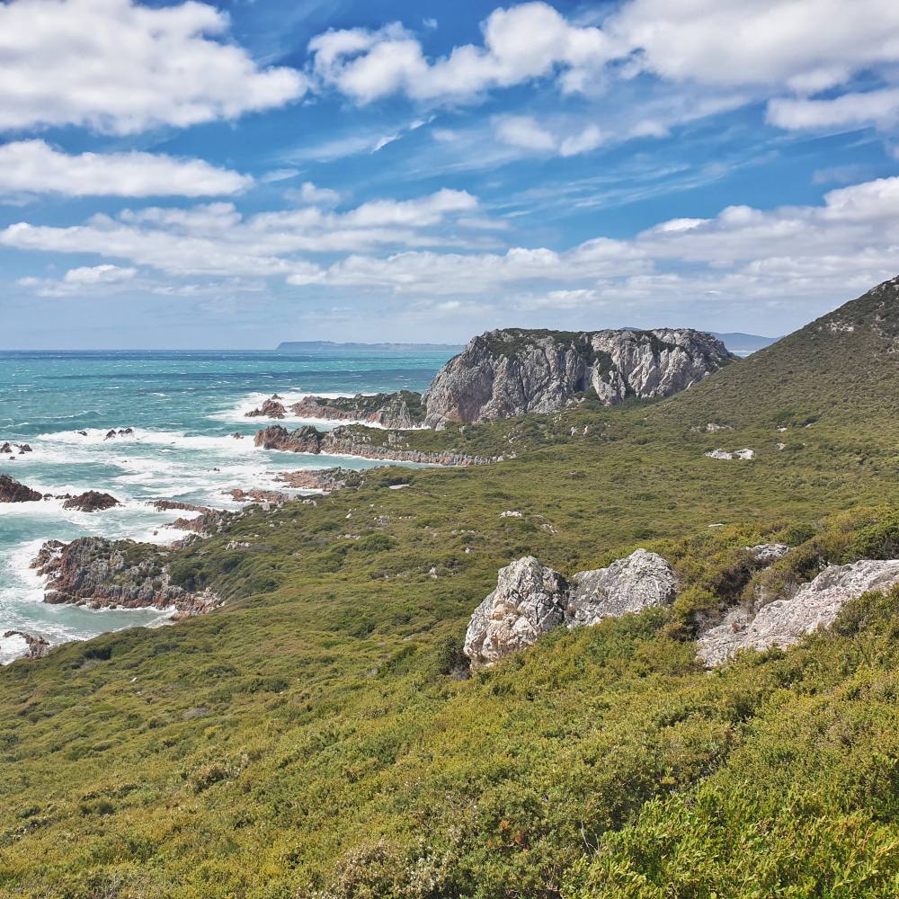
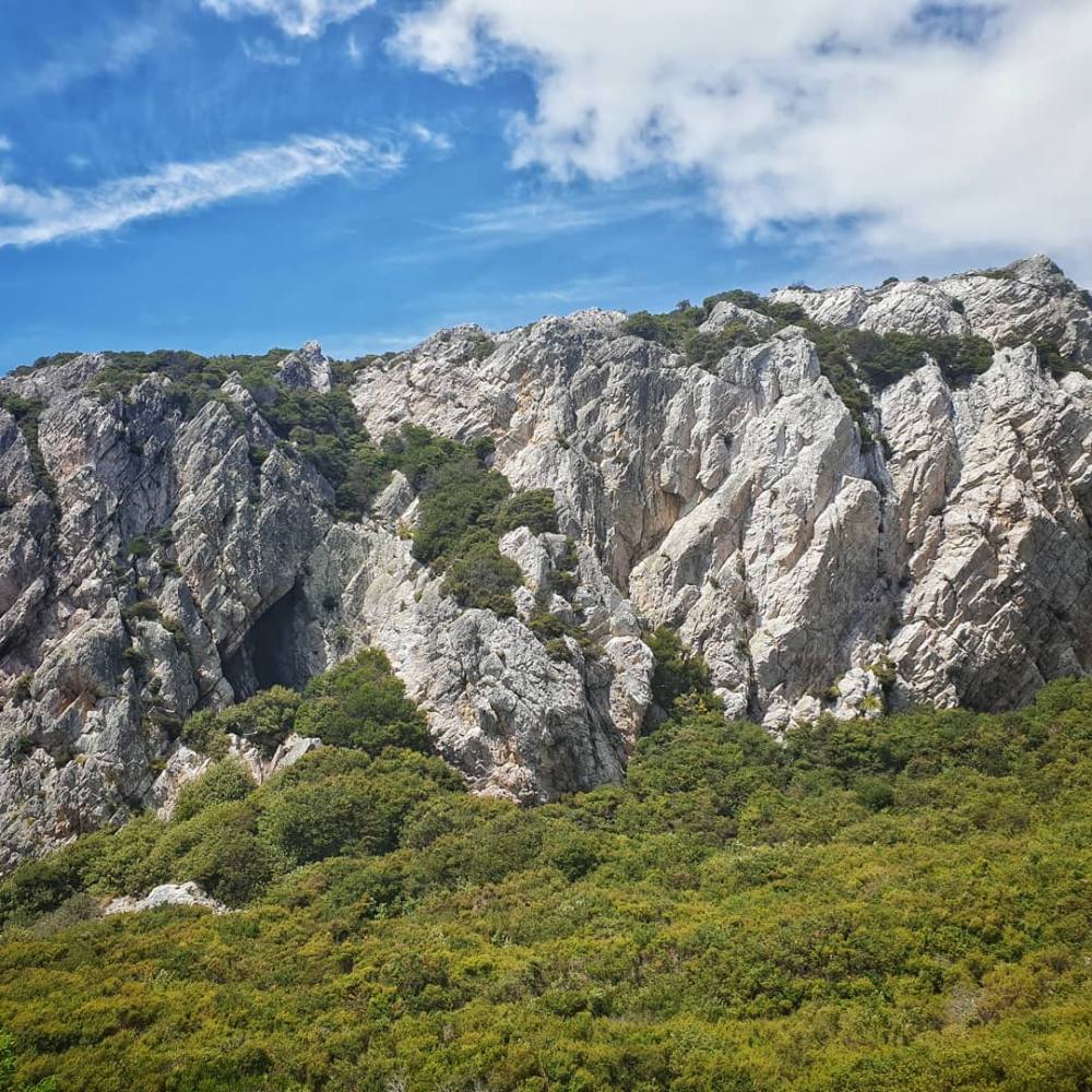
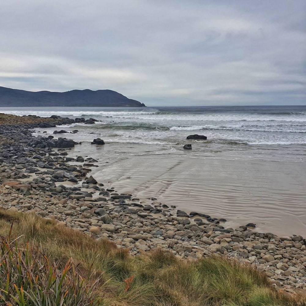
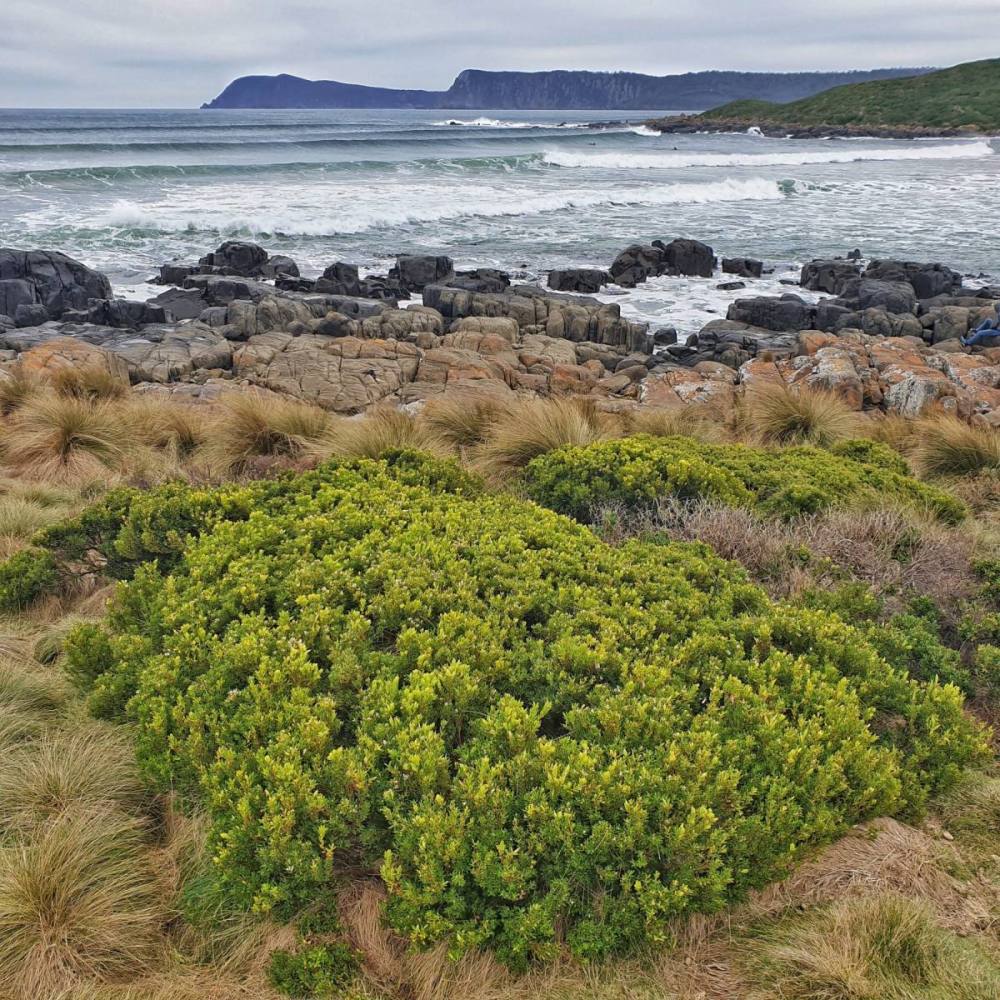
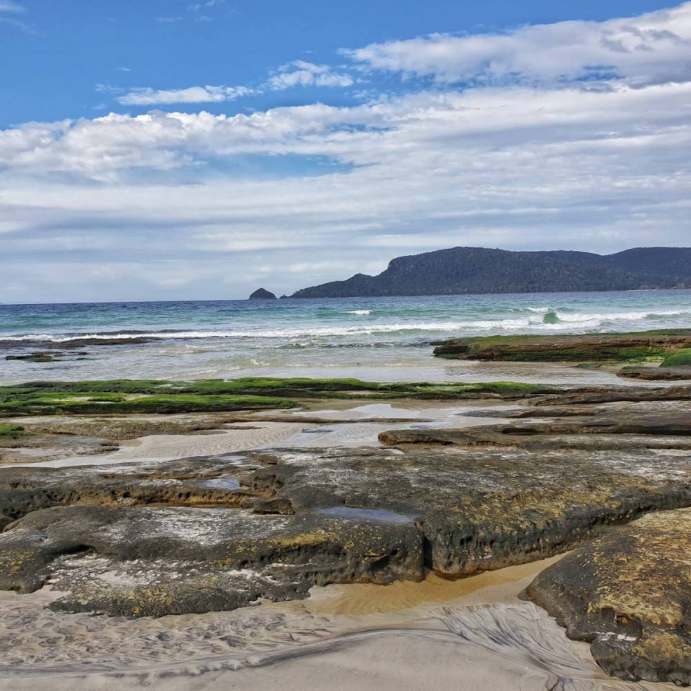
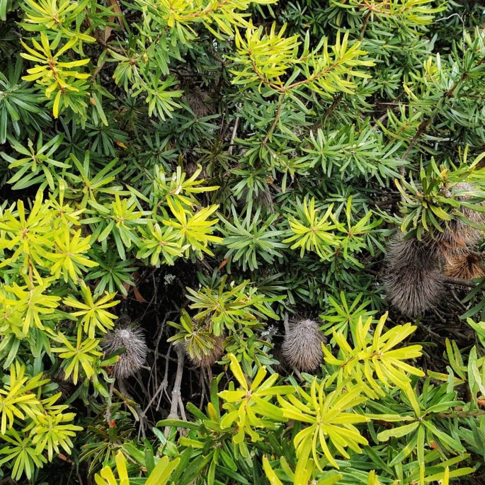
Though the wind was up the sun was out so we drove ~20 kms east to the main entrance of the Rocky Cape National Park. True to its name, this national park hugs a spectacular rocky coastline backed by cliffs and hills covered in native vegetation and dotted with ancient aboriginal sites.
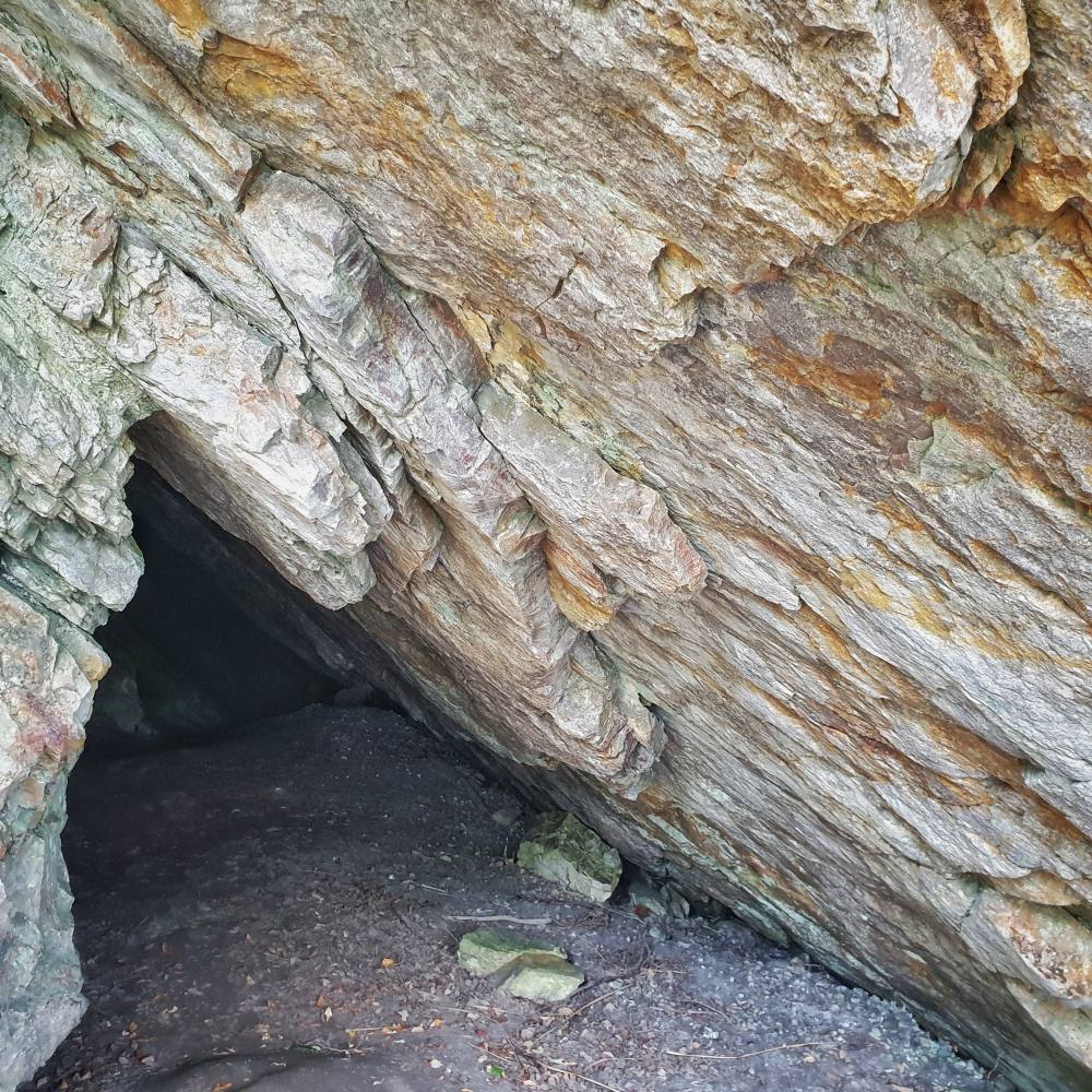
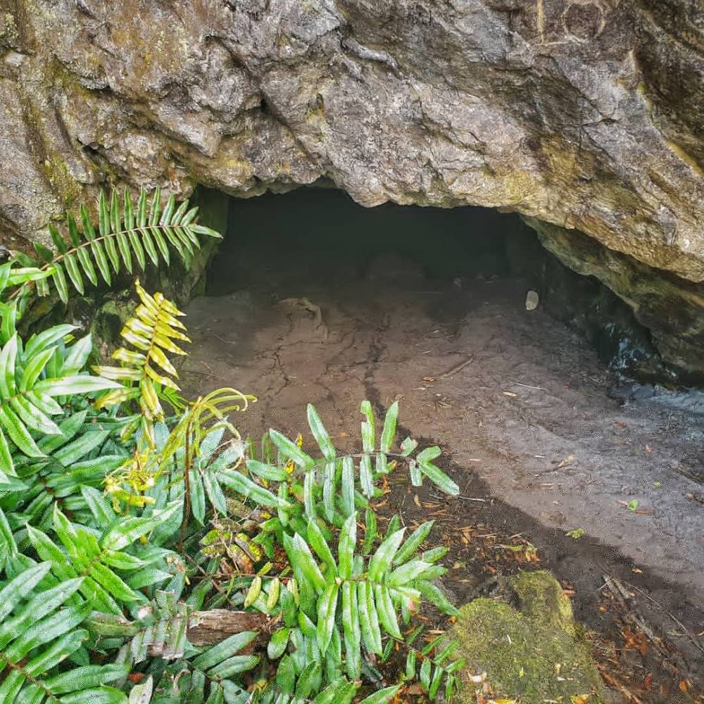
Rocky Cape (pinmatik) has several caves that archaeological studies have shown were occupied over 8,000 years ago.
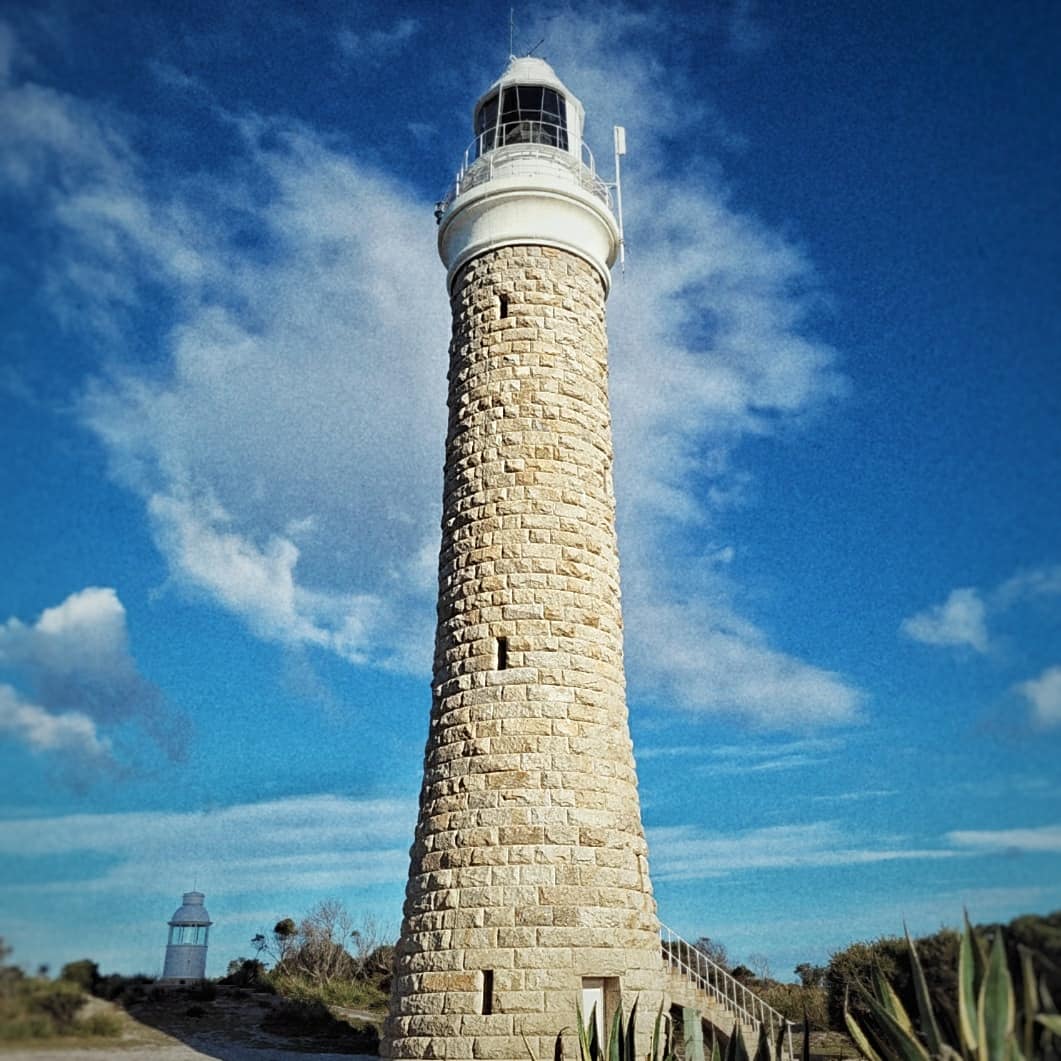
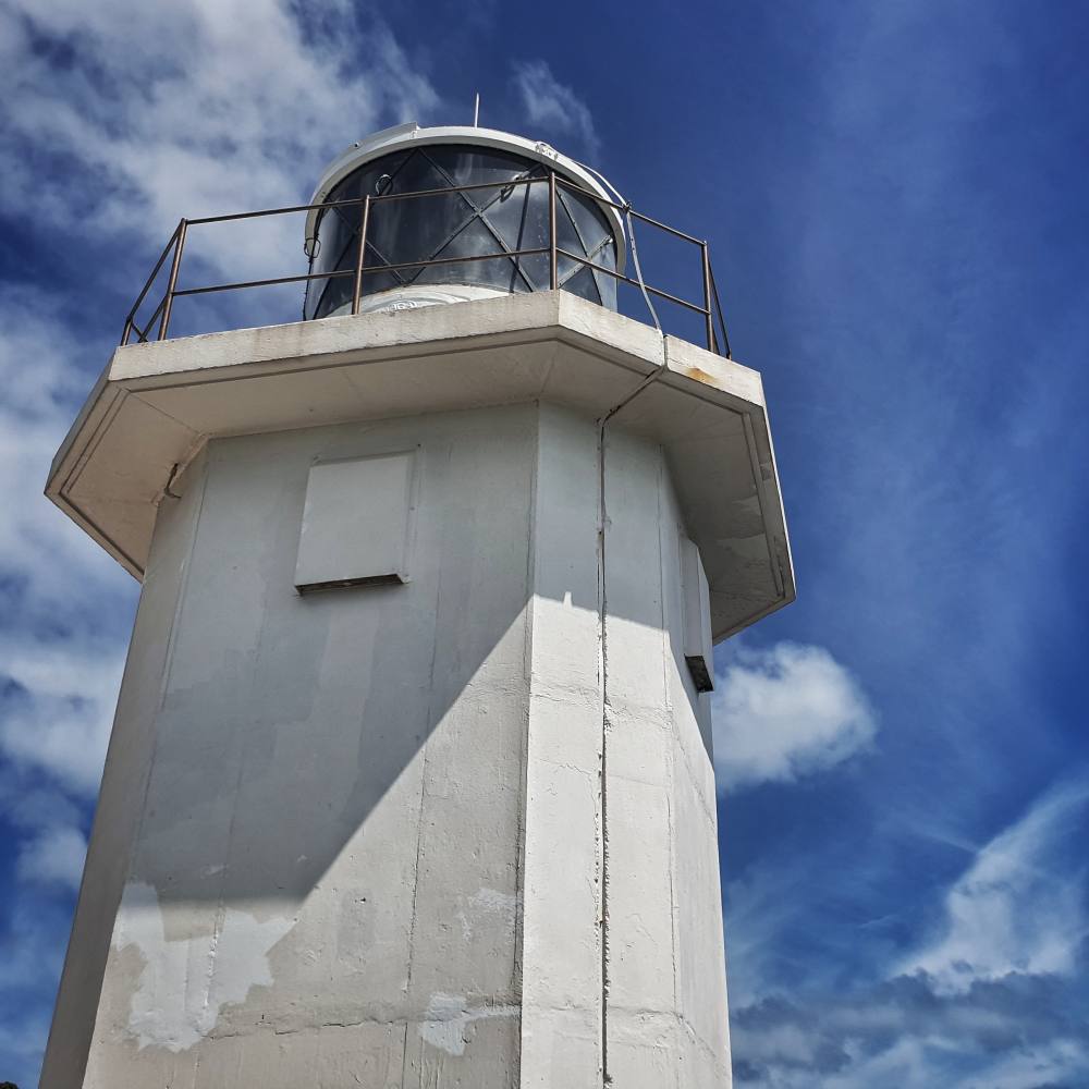
We stood at the entrance of South Cave, explored the rocky coastline, pondered North Cave from the viewing platform, and took in the lighthouse which has helped to ensure safe navigation since 1968.
The wind stayed up overnight and then the rain came in, so it was definitely an indoor day.
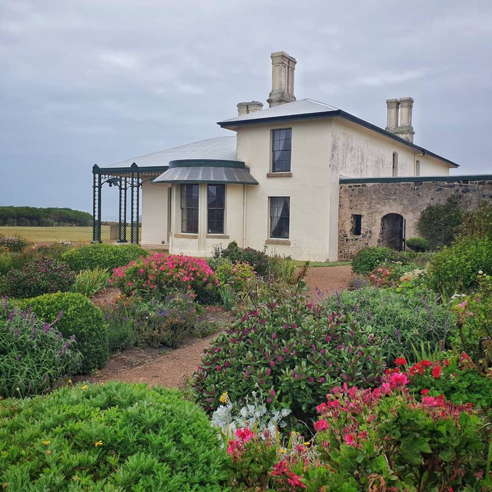
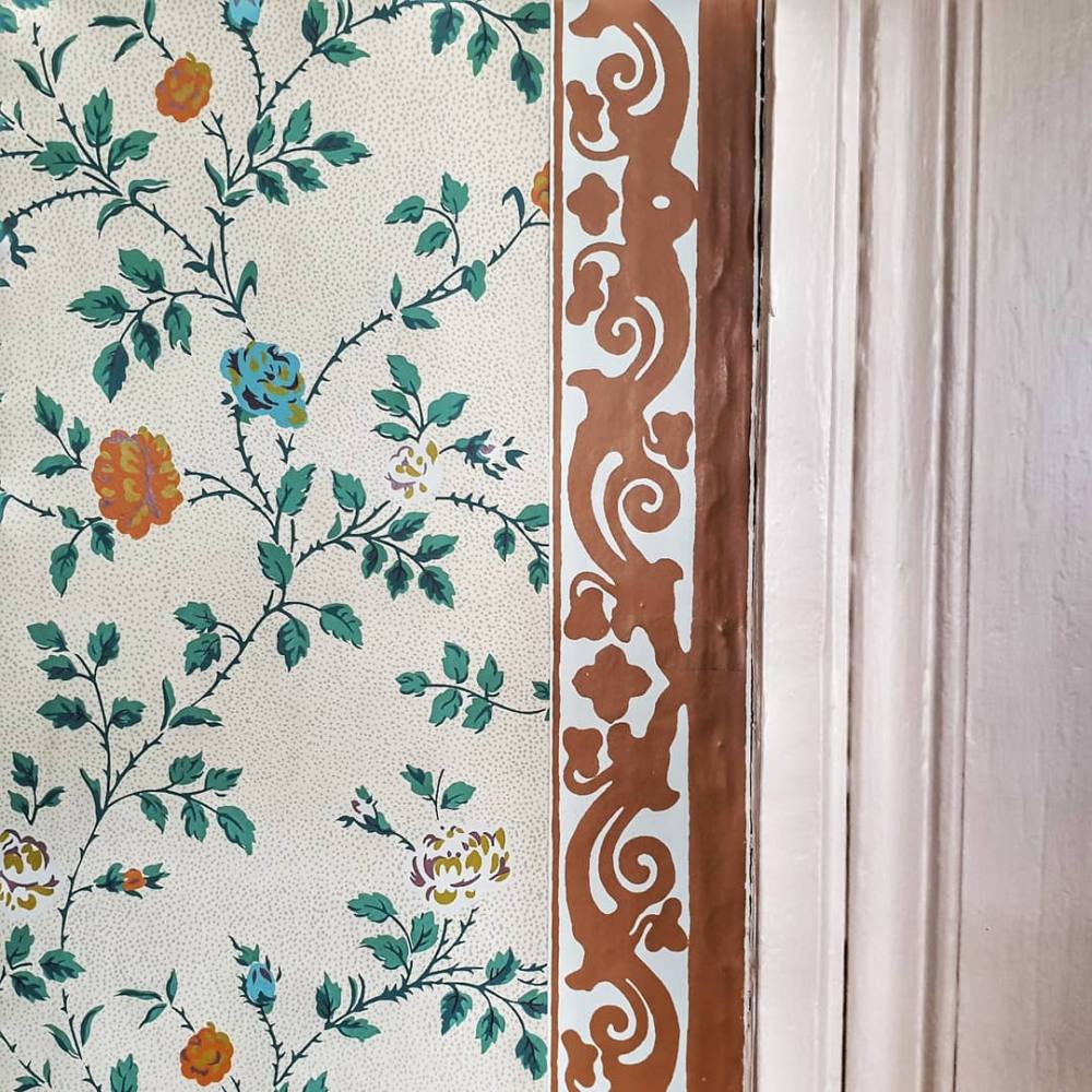
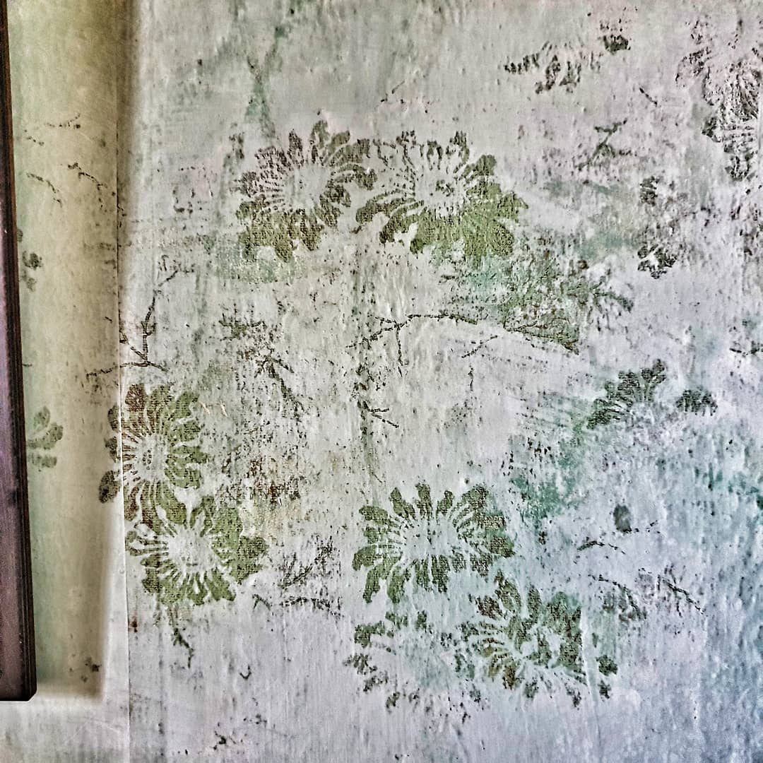
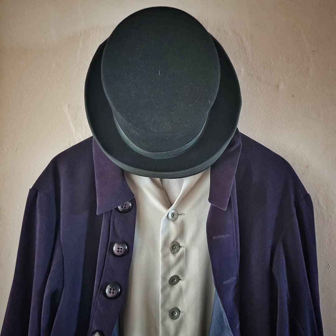
Highfield House is an historic site that sits on a hill overlooking Stanley and the Nut. It was built for the Van Diemen’s Land Company, with construction commencing in 1826 using convict labour . It’s an excelent example of early colonial architecture from the Regency Era.
The site has been thoughtfully restored to give a sense of what it was like for Europeans transplanted to northwest Tasmania in the mid 19th C.
Leaving Stanley the next morning we drove east towards Devonport to stay with some friends overnight before driving home to Hobart the following day. This gave us the chance to explore parts of two national parks.
Rocky Cape National Park has a secondary (eastern) entrance from Sister’s Beach. We walked up though Banksia Grove and visited Wet Cave.
About 120 kms further east, quite close to Devonport, lies the Narawntapu National Park
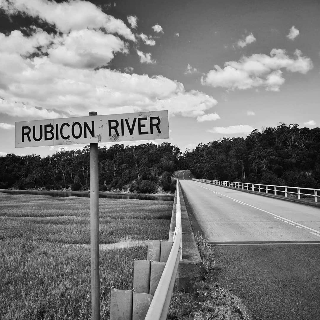
It’s dominated by the long, sandy Bakers Beach. We spent a lovely afternoon there, beachcombing and exploring the estuary of the Rubicon River.
For Tasmanians, ‘the East Coast’ starts at Orford in the south and ends at St Helens in the north. It’s a beautiful region with three National Parks (Maria Island, Freycinet, and Douglas Apsley) and a number of excellent wineries. A winning combination… On this trip we spent a few days exploring the southern half of the region.
Orford is where the highway from Hobart first hits the coast. It straddles the Prosser River, which flows into Prosser Bay with a number of nice beaches around the edge.
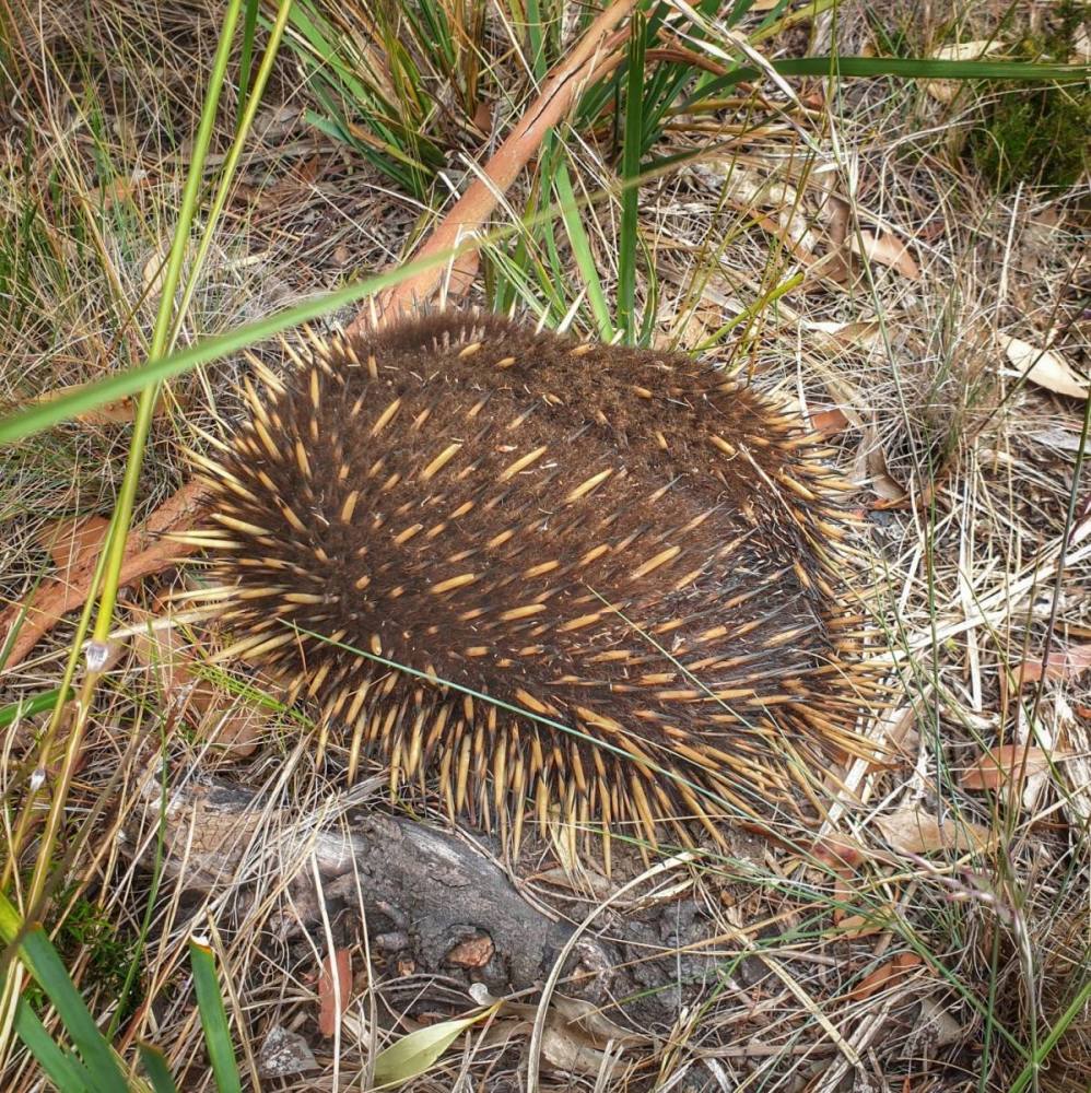
A little further north is Triabunna, which sits on Spring Bay. The ferry for Maria Island National Park leaves from here. From 1971 to 2011 Triabunna was home to the world’s largest woodchip mill. The former mill site is now being reimagined as a venue for conference and events. We drove out to have a look but the property was gated at the time. We did however encounter an Echidna along the way.
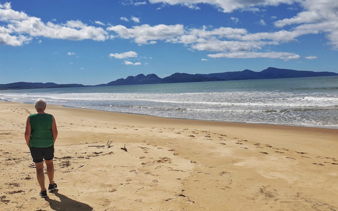
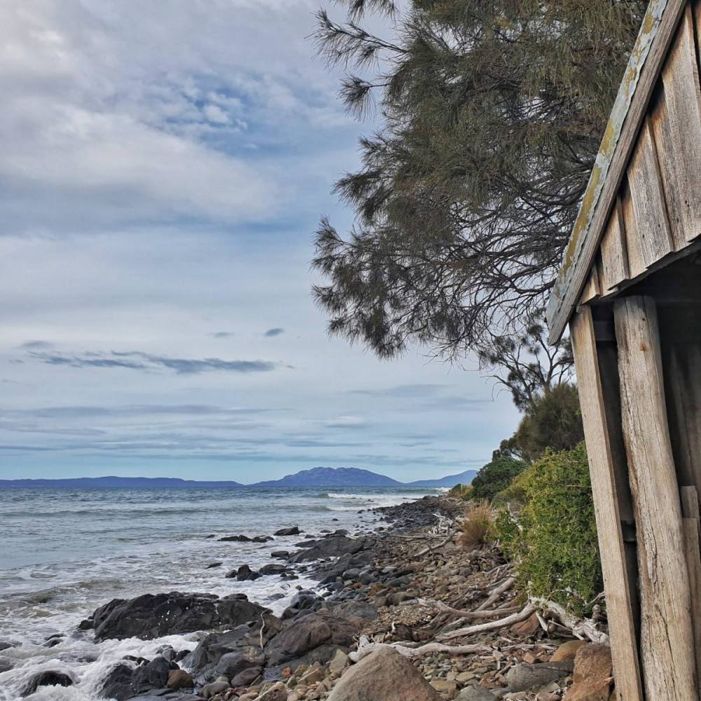
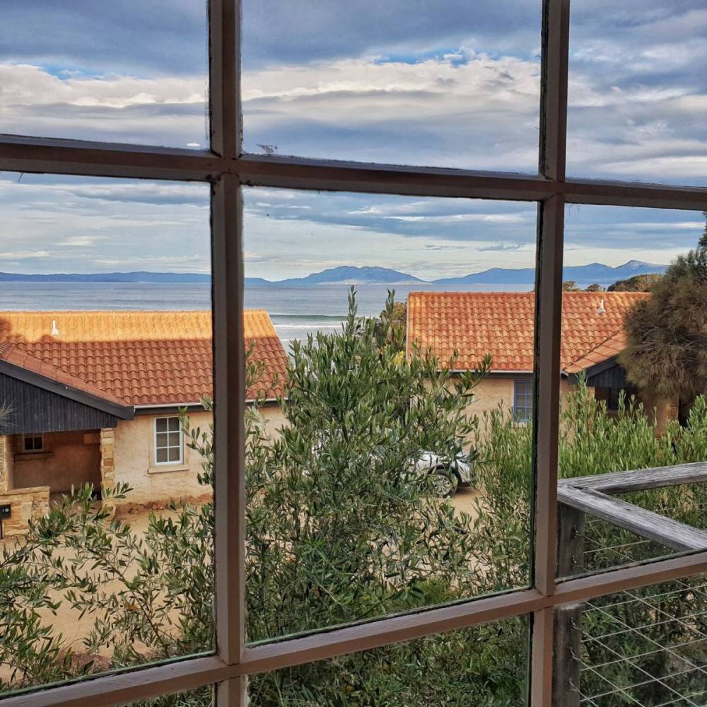
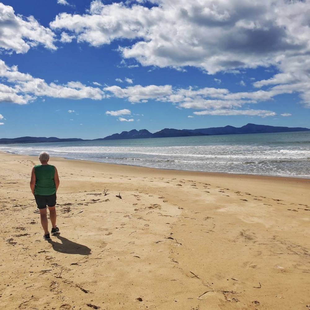
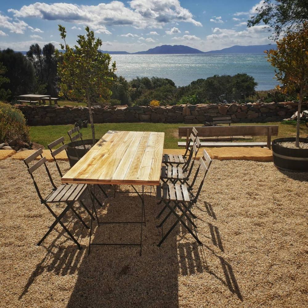
We stayed at Piermont Retreat, which provides upmarket accommodation and restuarant facilities on an old farm just south of Swansea. It sits in the western edge of Great Oyster Bay, looking towards the Freycinet National Park and its iconic mountain range known as the Hazards.
The northern edge of Great Oyster Bay is a narrow finger of land called Dolphin Sands. It reaches almost all the way to the Freycinet Peninsula, separated only by a lagoon outlet.
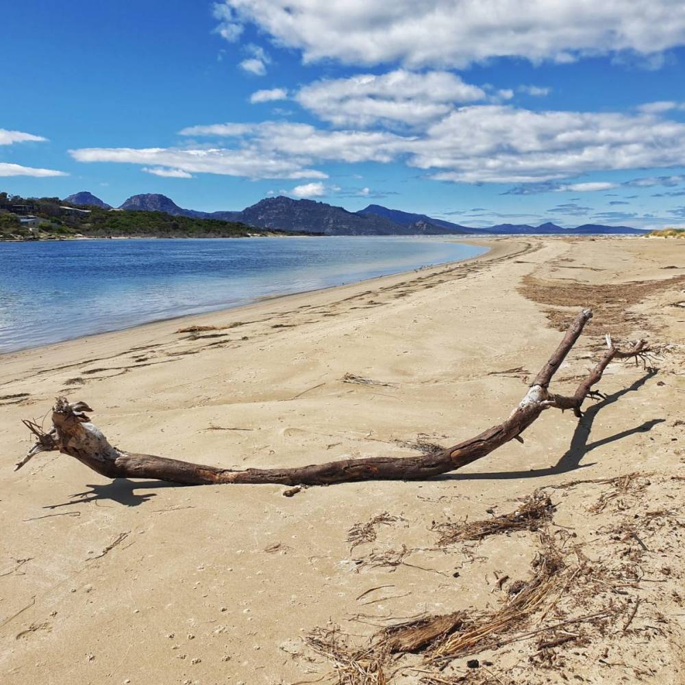
There are great views to the Hazards from here. At the tip of Dolphin Sands is Bagot Point, and the southern interface with Great Oyster Bay is known as Nine Mile Beach.
To the north of Dolphin Sands lies Moulting Lagoon, an important bird area protected under international convention.
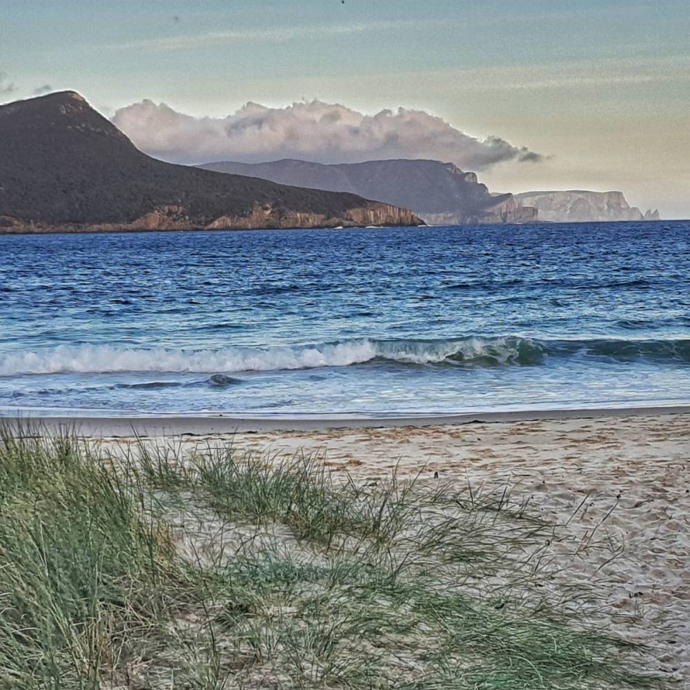
We drove back towards Swansea then headed northeast to the Friendly Beaches. It’s a beautiful spot just north of the Freycinet Peninsula and is part of the Freycinet National Park.
Took in a late lunch at a winery overlooking Great Oyster Bay and the Freycinet Peninsula. Bliss.
On our last day we had breakfast at the Piermont Retreat restaurant and wandered the site before heading home.
Stopped at nearby Cressy Beach for some beachcombing.
Broke the journey to Hobart at Raspins Beach, on the northern side of Prossers Bay in Orford. It has great views of Maria Isiland. Somehwere we’ll visit on out next trip to East Coast Tasmania.
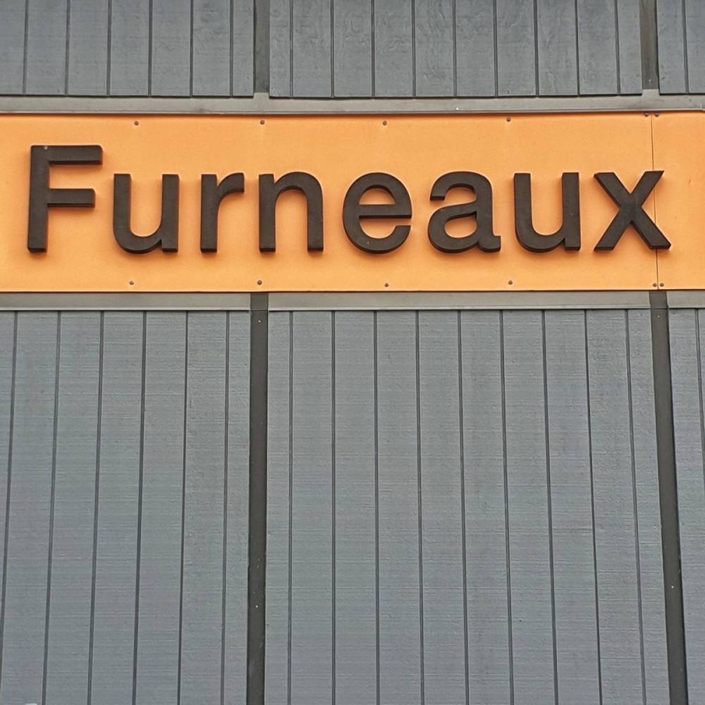
The State of Tasmania is made up of 334 islands. The Furneaux Islands, named after the English navigator Tobias Furneaux, lie in Bass Strait between ‘mainland’ Tasmania and Victoria. Flinders Island is the largest of the Furneaux Group.
It takes one hour in a 20-seater propeller jet to fly from Hobart to Whitemark, the main settlement on Flinders Island. We picked up a hire car from the airport, had lunch in the pub at Whitemark then did some grocery shopping before driving towards our accommodation at West End, in the north west corner of Flinders Island.
On the way we took the turnoff to Marshall Bay (just after the Palana Road turns from bitument to gravel) and visited the amazing Castle Rock. It’s best seen at low tide. (N.B. Paying attention to the tides is quite important on Flinders Island, with numerous experiences much better when the tide is right, either low or high as the case may be.)
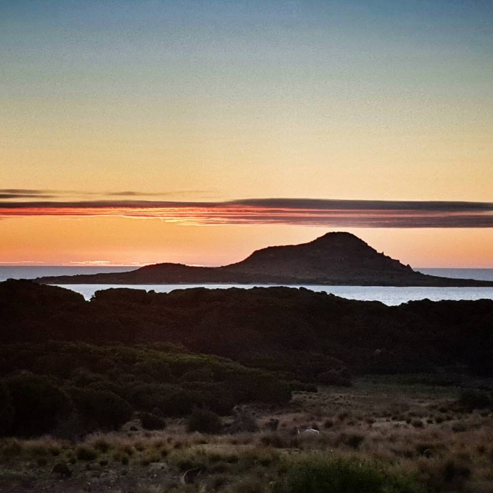
We spent a lovely evening exploring the coastline around West End, visiting the lookout at Mt Tanner, and watching the sunset over Roydon Island.
Next day we toured the north of Flinders Island.
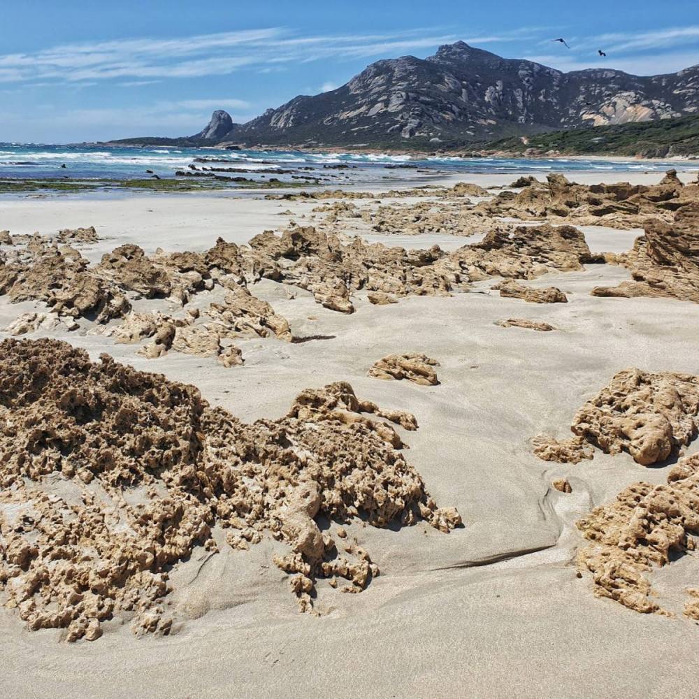
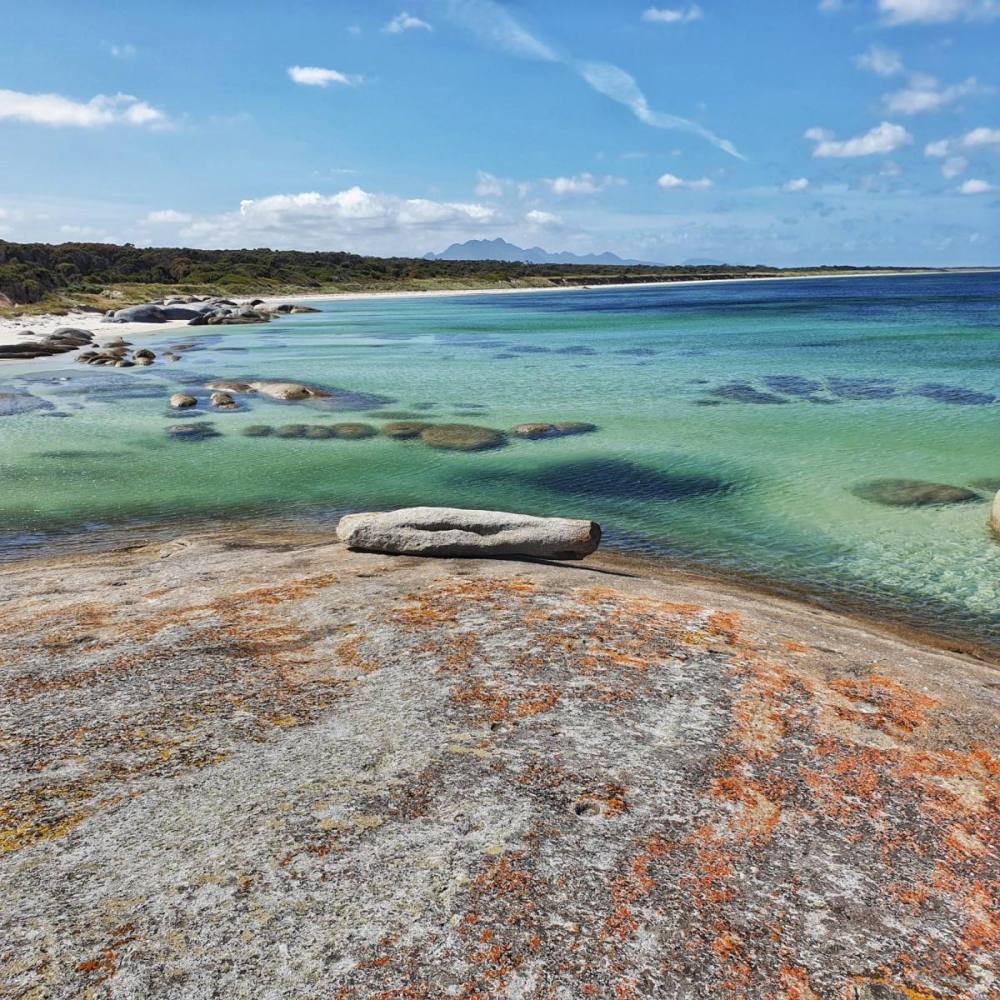
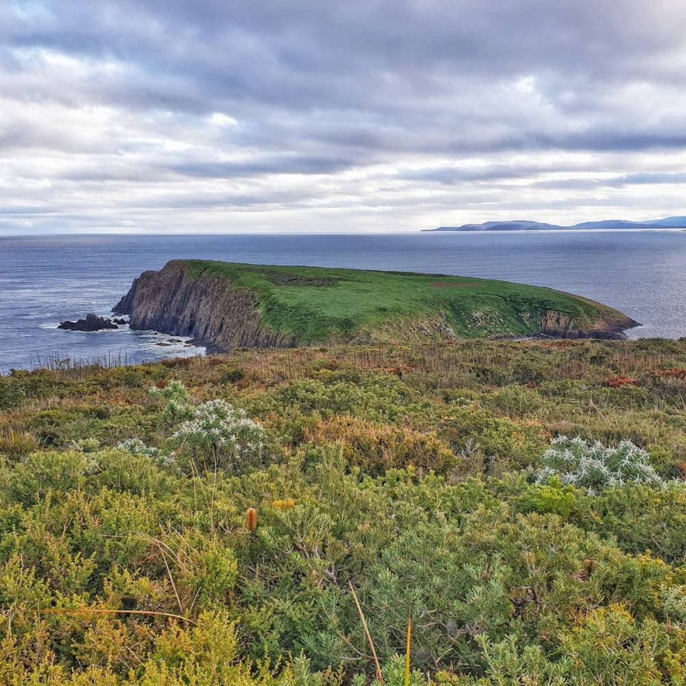
Drove to Palana and walked along its lovely sandy, surf-kissed beach, backed by sand dunes and dotted with rocky outcrops. The Sisters Islands (Inner Sister and Outer Sister) filled our horizon.
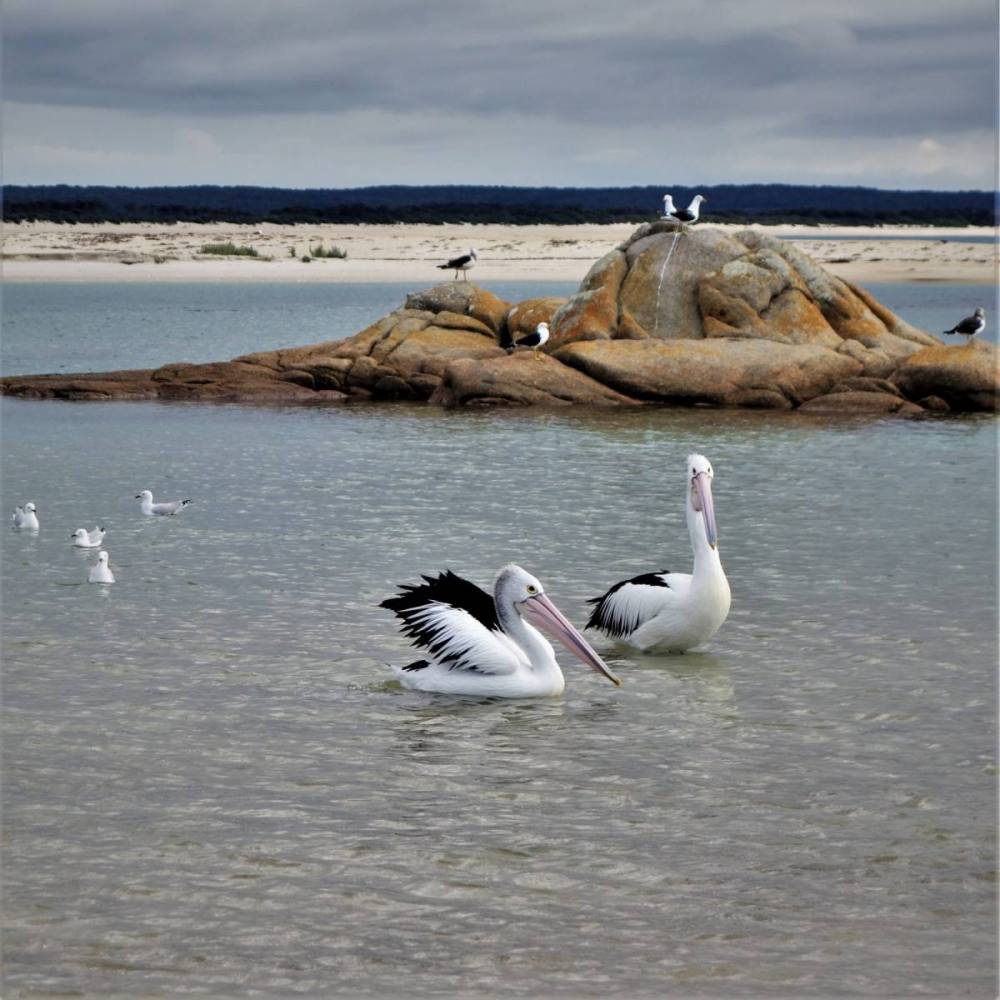
Headed across to North East River which has it all – headland, estuary, beach, and birdlife. We stopped for a picnic lunch to soak it in.
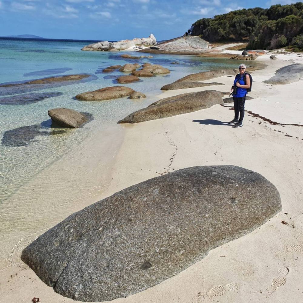
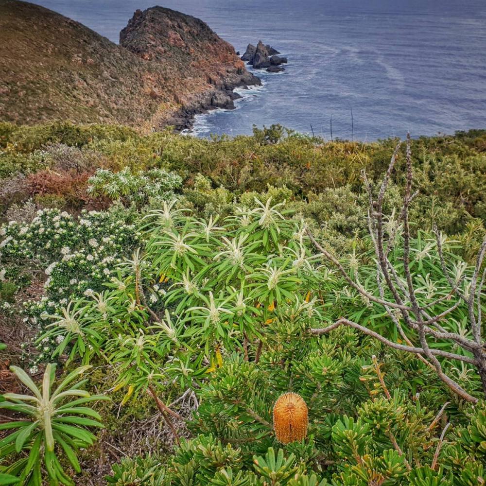
Then headed south to Killercrankie. Walked its beautiful beach with views out to Old Man’s Head, then spent some time fossicking for ‘Killercrankie diamonds‘ in Diamond Gully. This is definitely something to do at low tide.
We didn’t stike it rich but the whole day was a gem.
The following day we toured the south of Flinders Island.
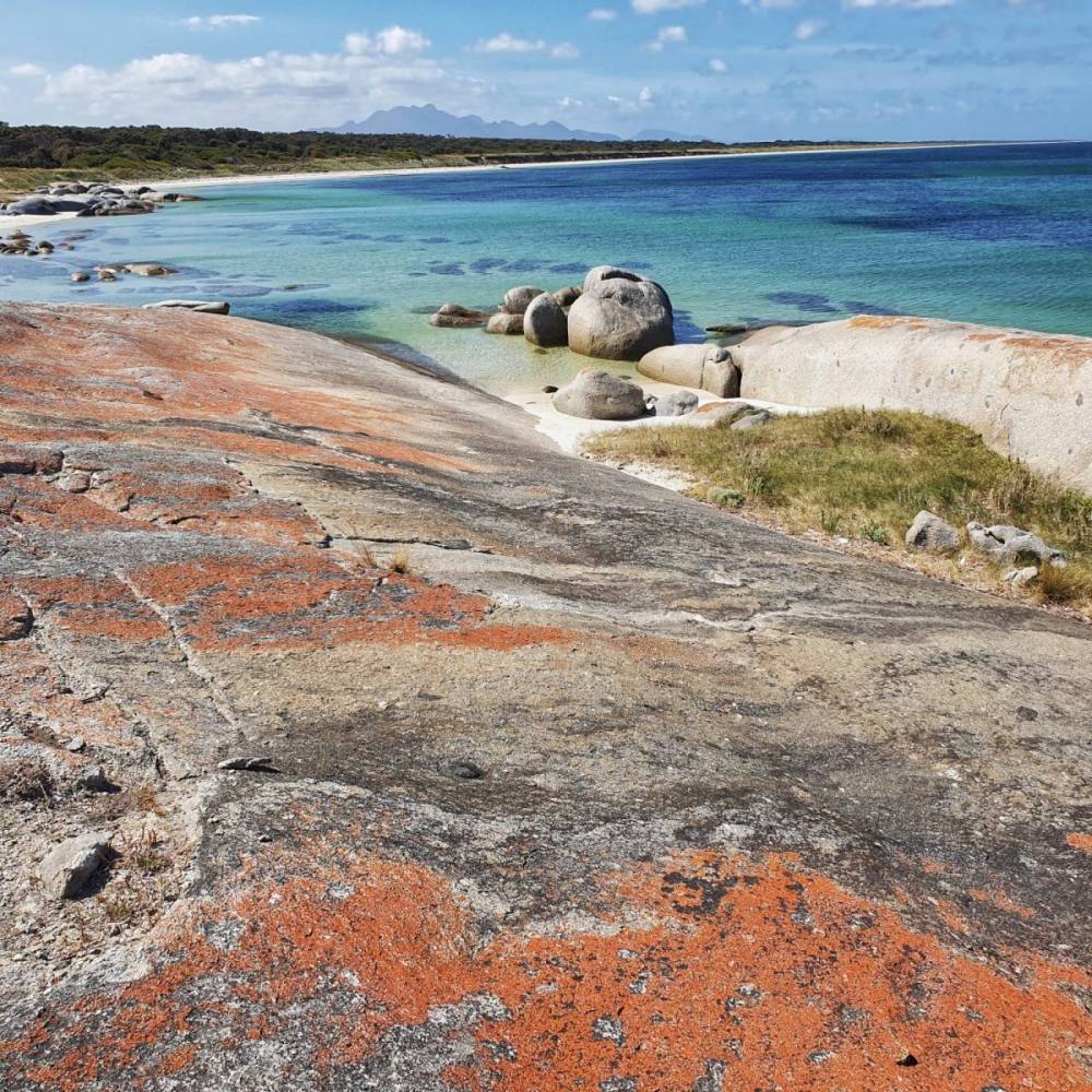
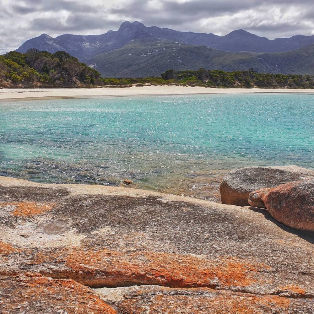
We’d read that Blue Rocks was a good spot and it did not disappoint. The views to Mt Strzelecki were sensational. We stopped there a couple of times and it’s better at high tide, especially for a swim. The turnoff to Blue Rocks isn’t marked. Coming from the north along Palana Road, after passing the Sawyers Beach turnoff you’ll eventually see a driveway with a white anchor on the right and the track to Blue Rocks is about 75 metres past this. If you reach the Long Point Road turnoff you’ve gone too far.
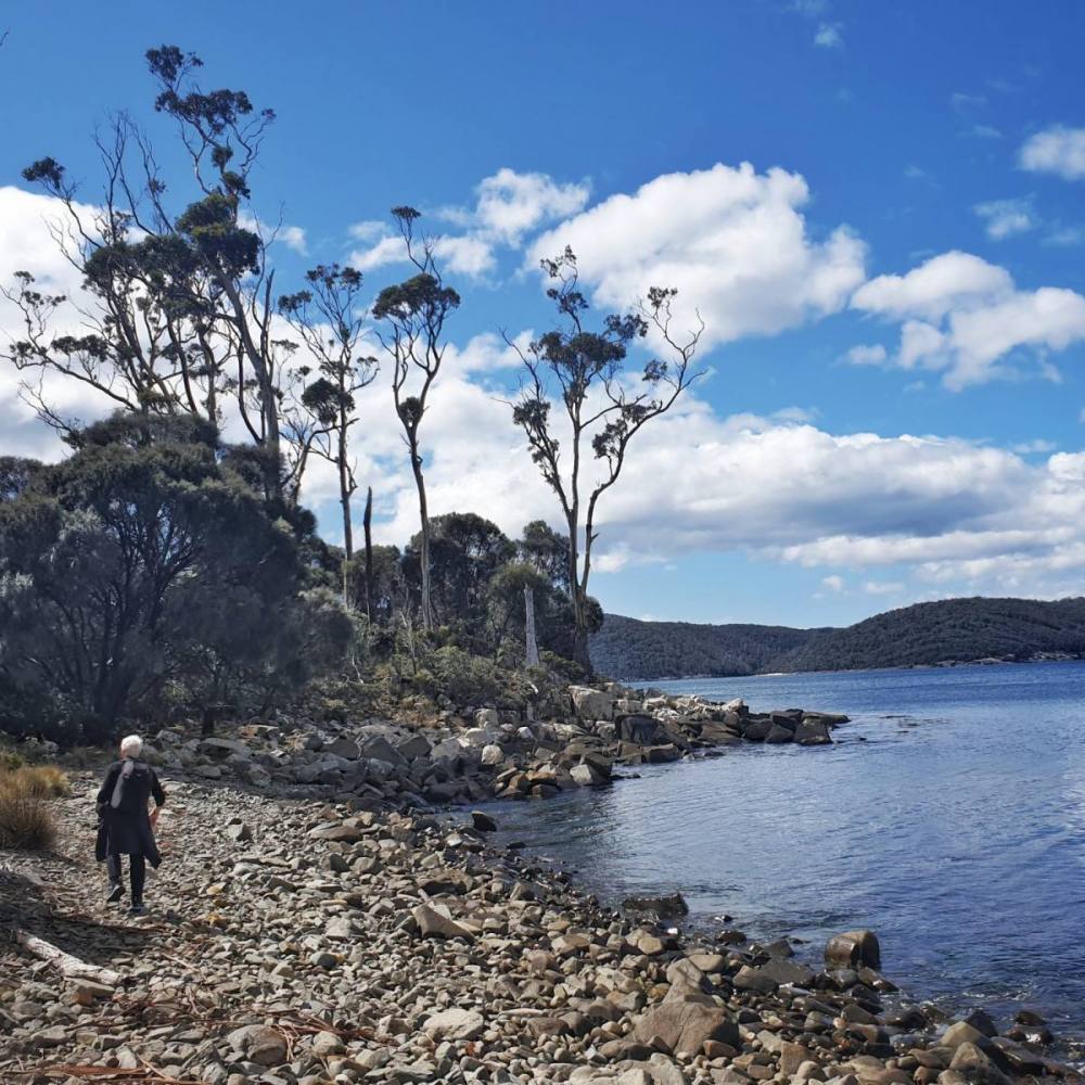
We then drove further south into the Mt Strzelecki National Park, stopping at Trousers Point and walking along Trousers Beach.
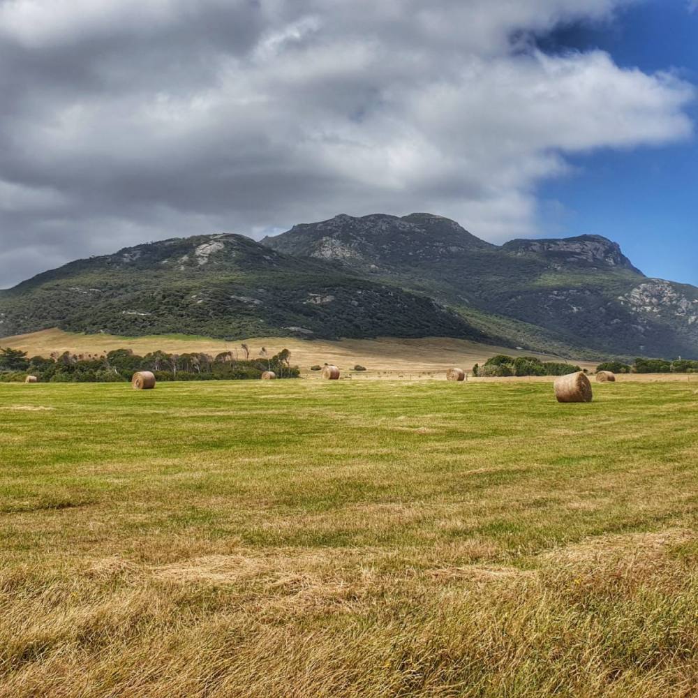
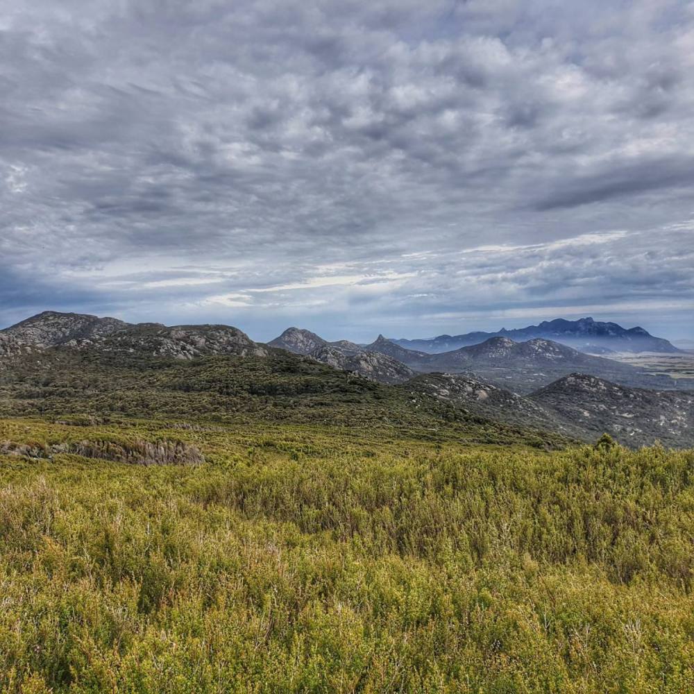
The interior of Flinders Island is largely rural and it was interesting to see fields of hay bales and grazing cattle juxtaposed against the protected mountain environment, which rises sharply to 756 metres above sea level. A national park was established on Flinders Island in 1967, although it wasn’t until 1972 that it was named after the Polish scientist and explorer Count Paul Edmund Strzelecki.
From there we drove further south to the township of Lady Barron for lunch, checking out Yellow Beach on the way.
After lunch we headed north, turning off at Emita to explore some interesting sites.
Visiting the chapel and cemetery at Wybalenna was a sobering experience for us as an Anglo-Australian couple. Its place in the history of British colonial efforts to exterminate Tasmanian aborigines is infamous. The way in which traditional owners have reclaimed this land seemed forgiving, generous, and hopeful. As a nation we’ll be forever diminished if we can’t find a way to respect traditional owner wisdom, and embed it into all of our political and legal frameworks.
The road to Wybalenna leads out to Port Davies, Settlement Point, and Lillies Beach. We lingered at Lillies Beach which has a picturesque old jetty. We were there at low tide, but it’s probably more photogenic at high tide.
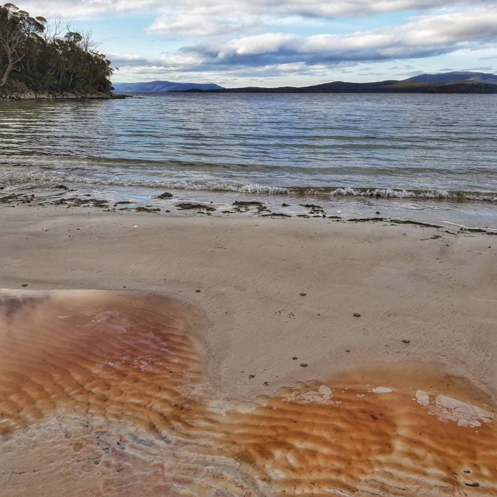
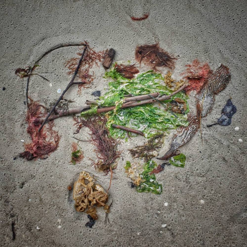
On the morning of our last day we headed east to Patriachs Inlet. It provided a lovely contrast to the rocky west coast, with impossibly long beaches backed by sand dunes and interspersed with tidal estuaries and mudflats. A great place for bird-watching and beachcombing…
We then drove back to the west coast, stopping for a picnic lunch at the beautiful Allport Beach.
After lunch we visited the Furneaux Museum (only open from 1-4 PM on Saturday and Sunday when we were there).
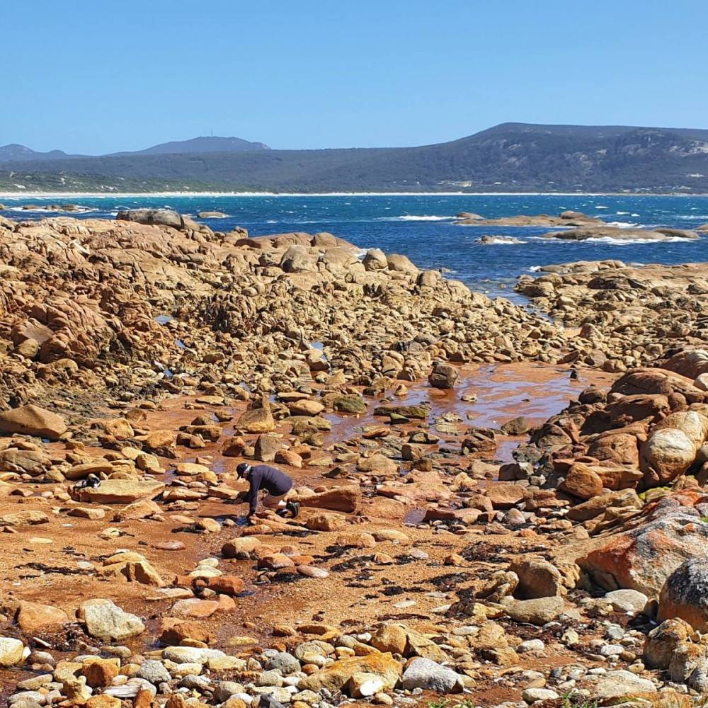
Drove down to Sawyers Beach which is yet another beautiful spot. Lots of rocky outcrops in the foreground as we gazed south to Mt Strzelecki. We were there at low tide.
From Sawyers Beach we drove up to Walkers Lookout which provides great views of the Darling Range including the very pointy Pillingers Peak, and the distant Mt Strzelecki. DO NOT, as I did, stand on a jackjumper nest when framing your shot of this gorgeous vista.
Finished the day on the wharf at Whitemark before an early pub dinner then drive ‘home’ to West End.
The following morning we packed up, drove to the airport, dropped off the car, and flew back to Hobart. Discussing how and when we’d next visit the oasis called Flinders Island…
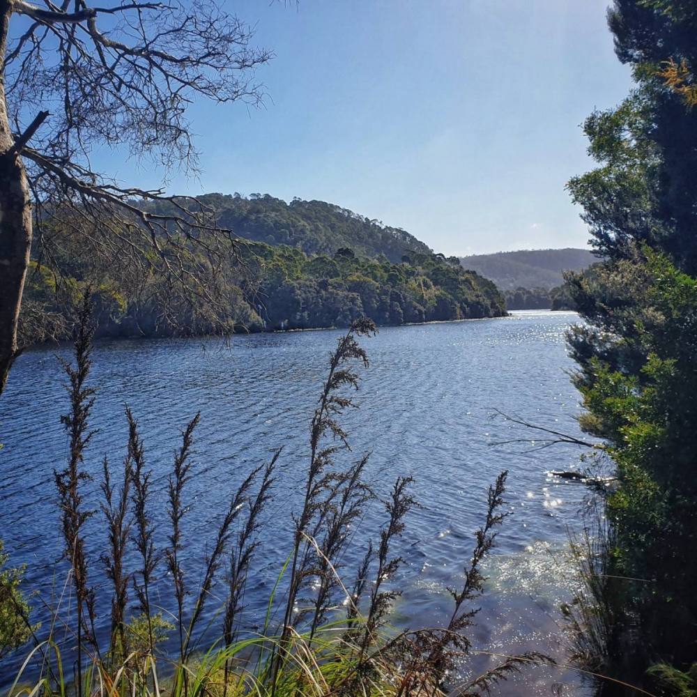
The township of Corinna sits on the Pieman River in northwest Tasmania. It feels like the middle of nowhere, in a good way… We drove from Hobart to Spreyton to meet with some friends, then on to Corinna from there.
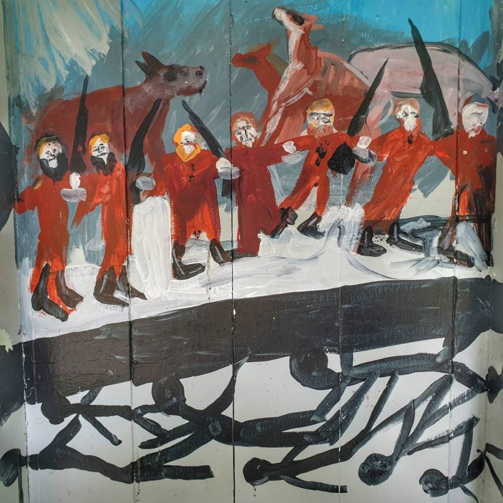
Stopped at Hellyer Gorge to stretch our legs with a nice river walk. I was particularly taken by a mural painted in one of the shelters at the picnic ground.
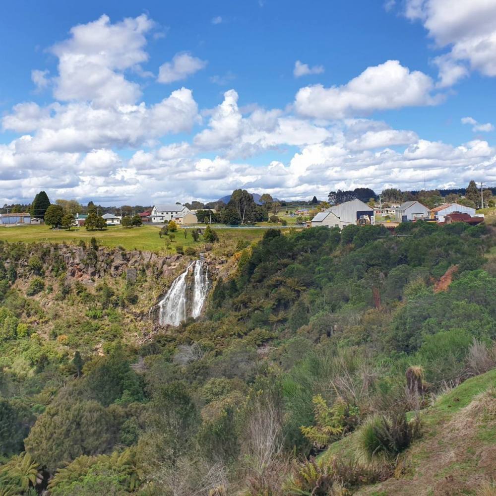
We also stopped at the mining town of Waratah, famous for its waterfall which was harnessed to process tin mined at nearby Mount Bischoff.
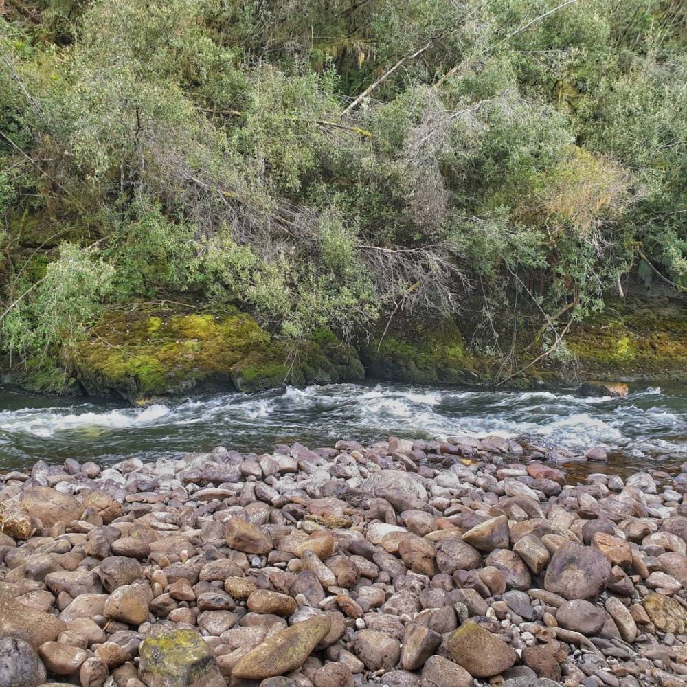
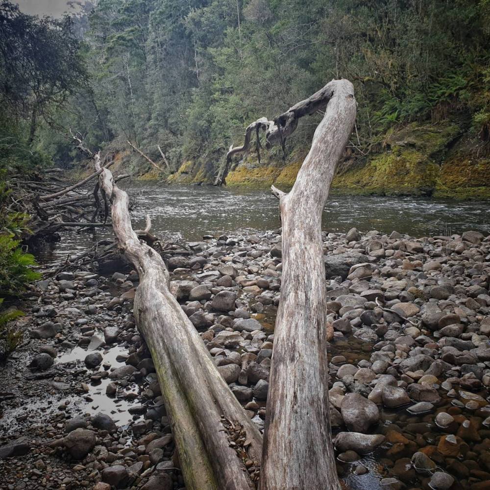
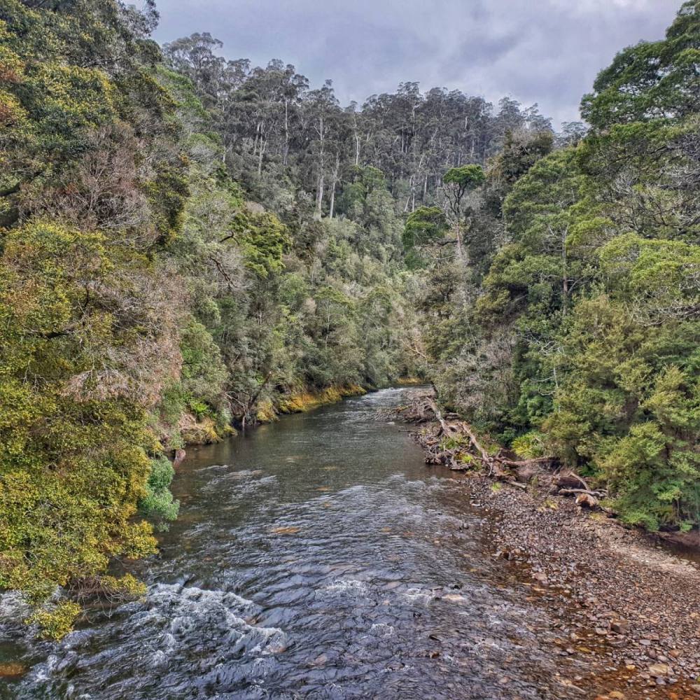
Corinna consists of tourist accommodation in the form of restored buildings and purpose built cottages, a pub serving food and drinks, and a campground. It has a boat ramp and river crossing (by barge), and is the start and end point for a cruise down the Pieman River. It’s a fabulous place to stay for a few days. On our first evening we took a walk along the Pieman to where it’s joined by the Whyte River.
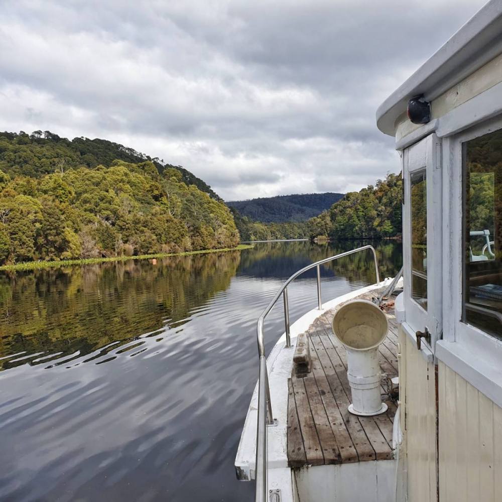
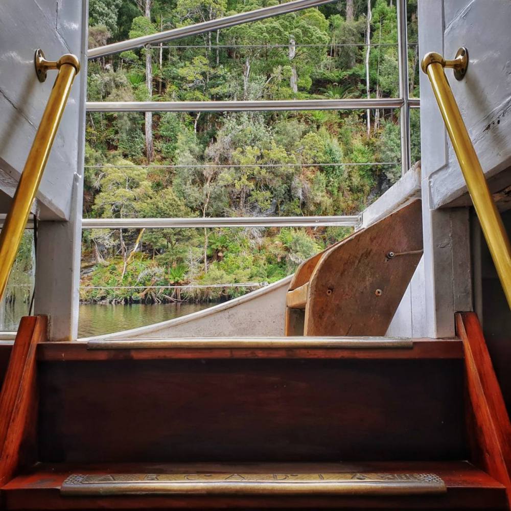
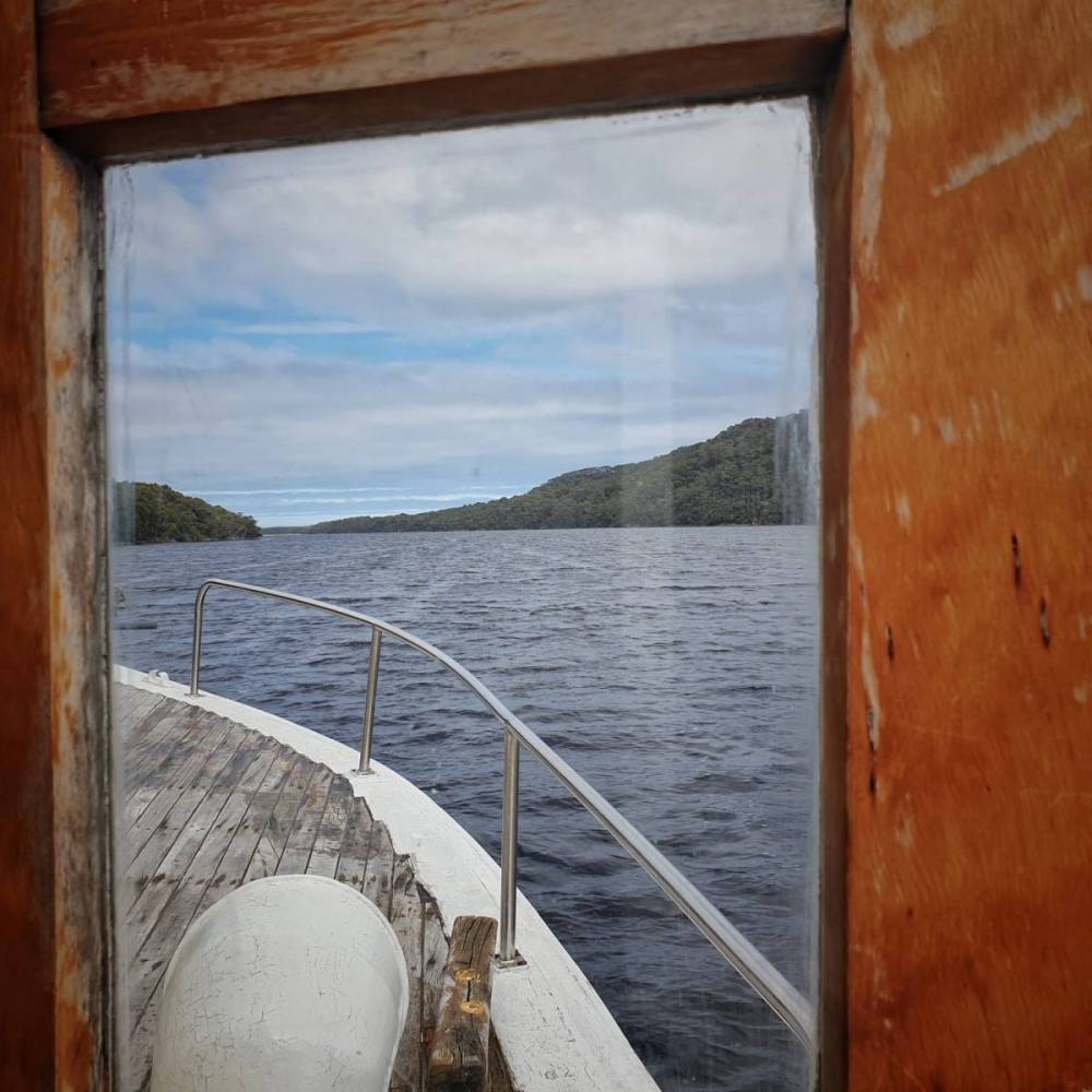
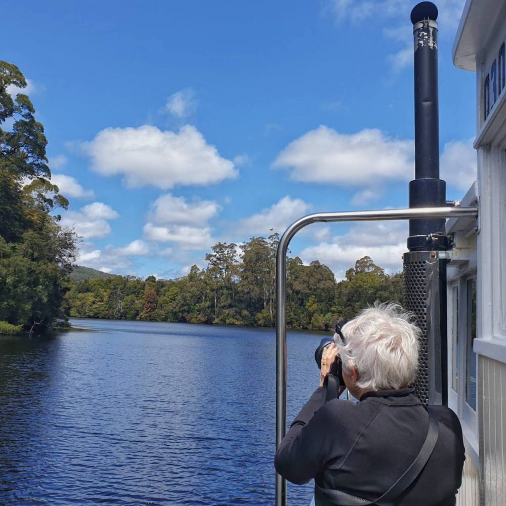
Taking a cruise on an old huon pine steamer down the Pieman River, to where it meets the ocean, is a must do experience.
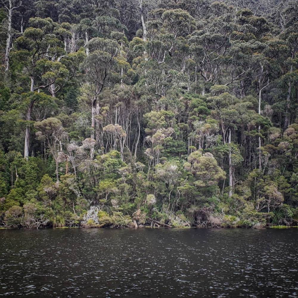
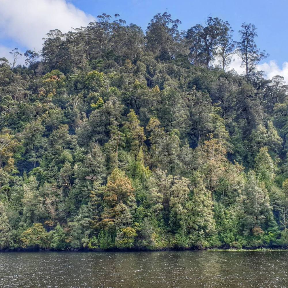
It was perfectly still as we set off, with great reflections. The Pieman is remarkable for the fact that it has beautiful rainforest along its northern bank, and majestic tall eucalypt forest along its southern bank.
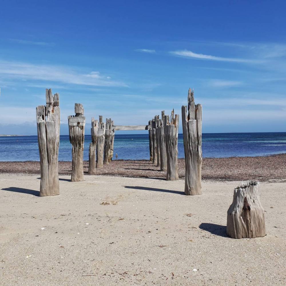
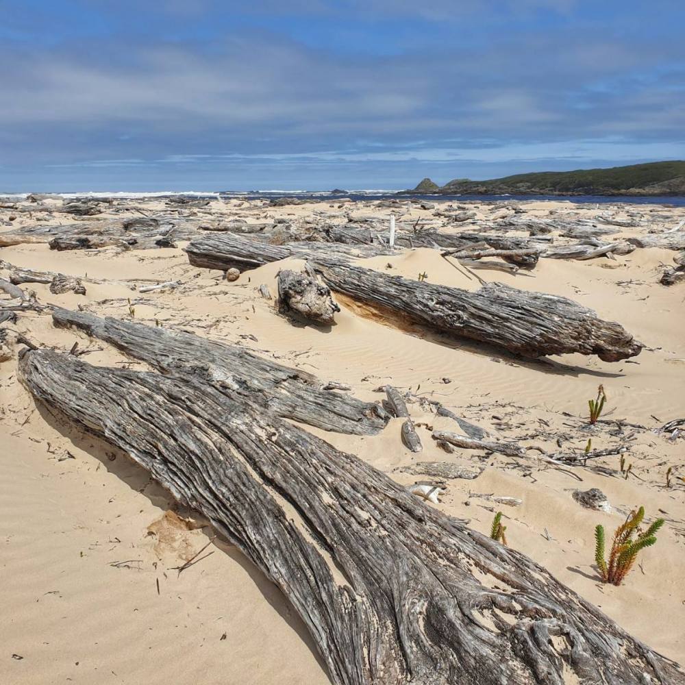
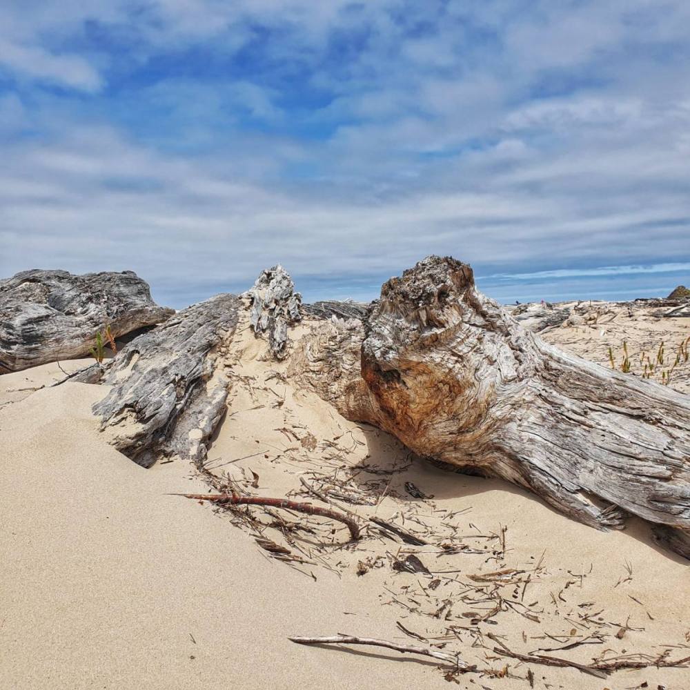
There’s a sense of expectation as you approach the river mouth, at Pieman Heads. The boat stops here for an hour or two so you can explore the beach which is littered with tree trunks. It’s quite a sight. One reason this area has been preserved is that the heads are treacherous to navigate by boat, meaning it wasn’t so easy to exploit.
On our last morning we took a couple of slow walks to explore the rainforest up close. It was very beautiful.
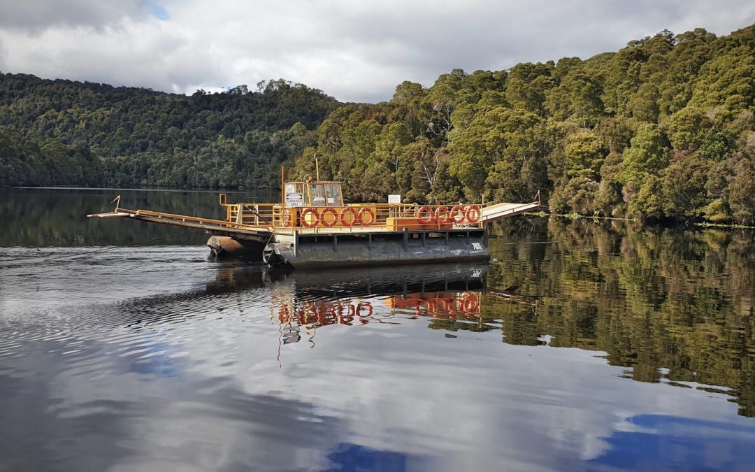
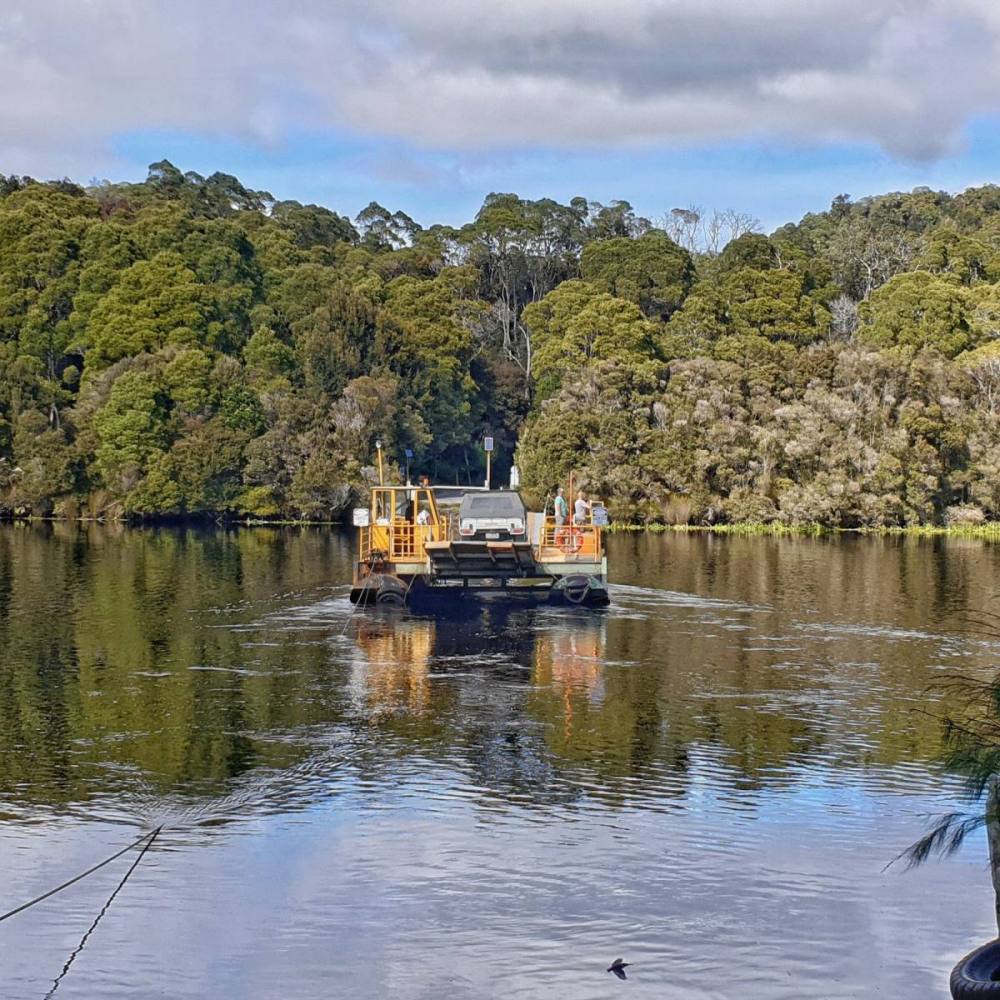
Setting off on the long drive back to Hobart, we put our car on the small, two-vehicle barge called ‘The Fatman’. It pulls back and forth across the river along a cable.
On the south side of the river is a small cemetery, where a couple of rogues are buried.
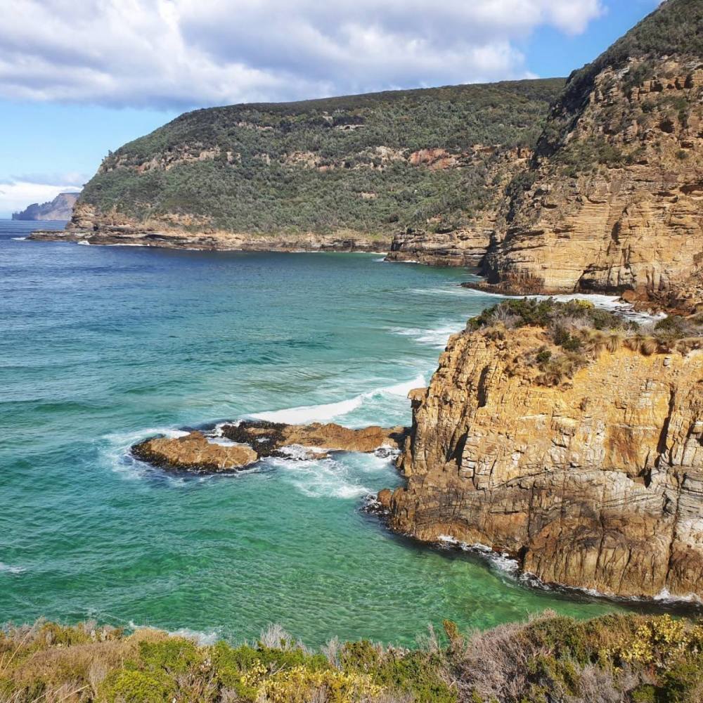
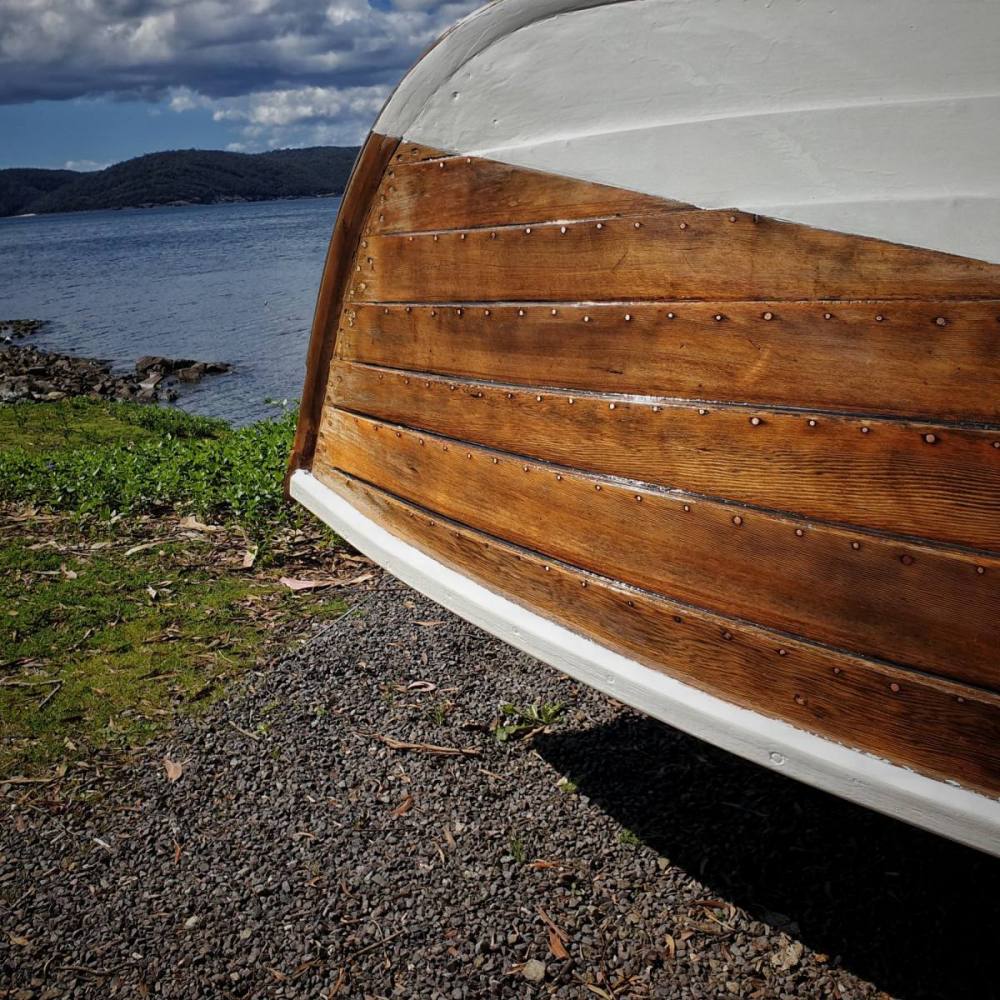
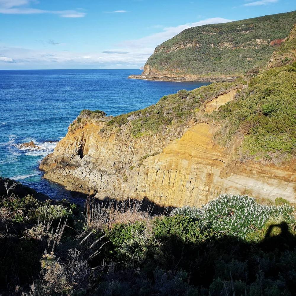
The Tasman Peninsula lies about 90 minutes drive southeast of Hobart. It’s edged by remarkable sea cliffs and housed the notorious penal colony of Port Arthur, which is part of the Australian Convict Sites World Heritage Area.
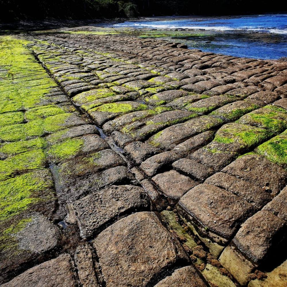
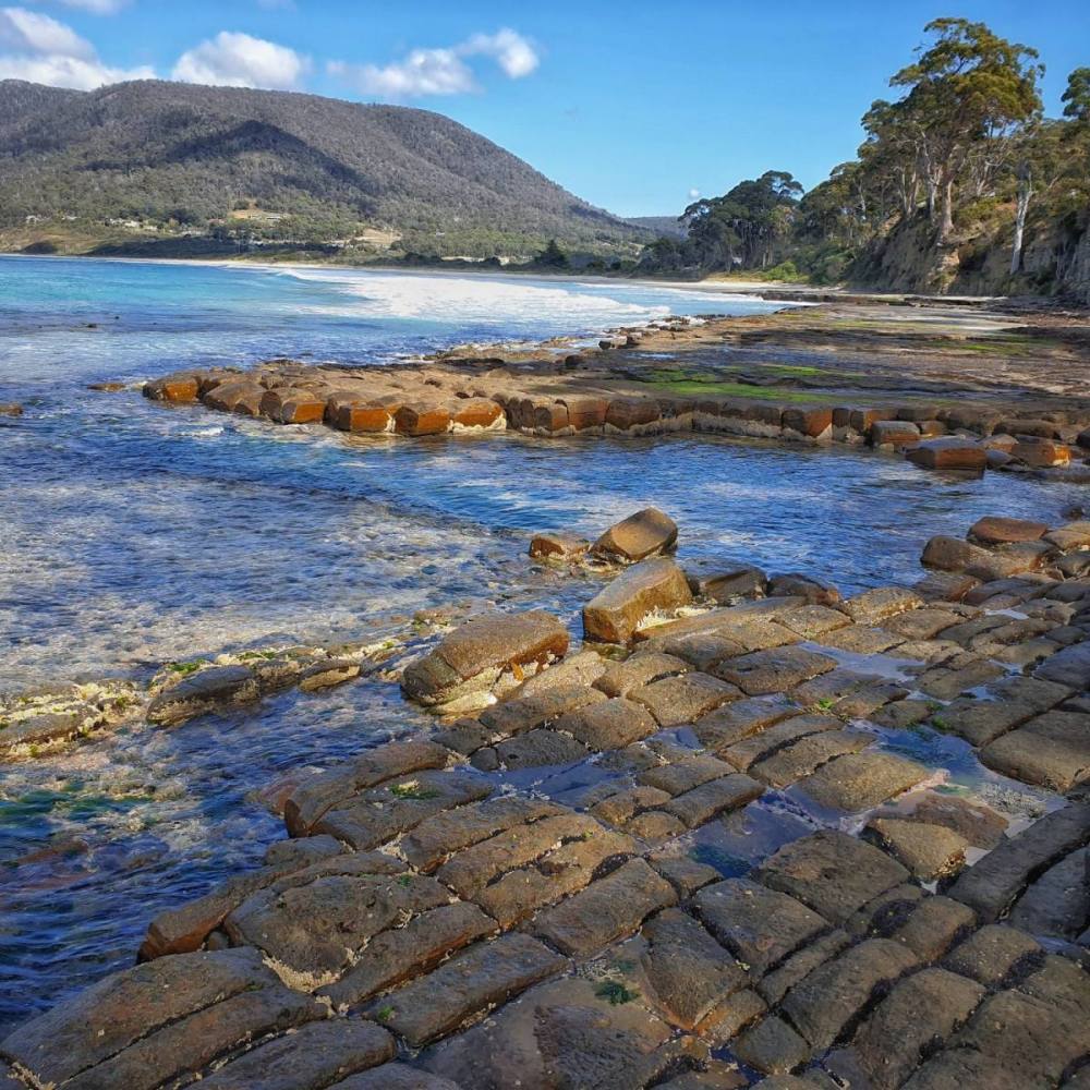
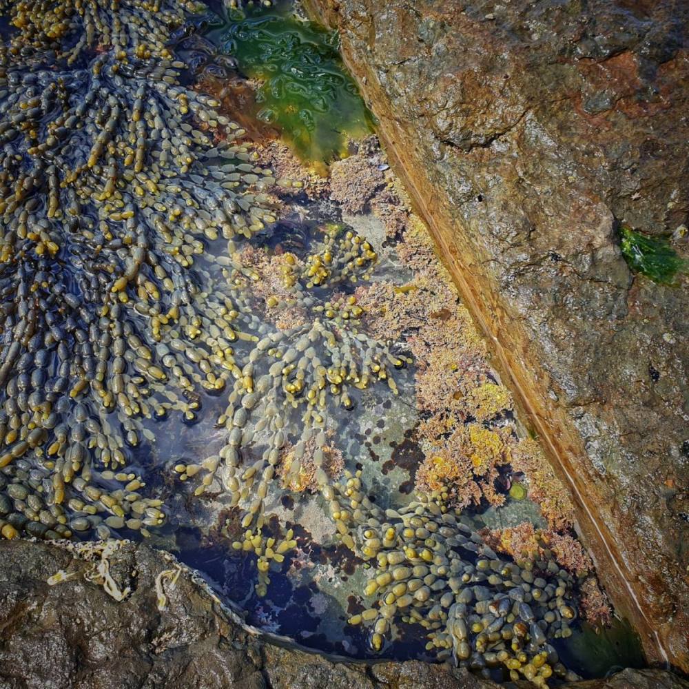
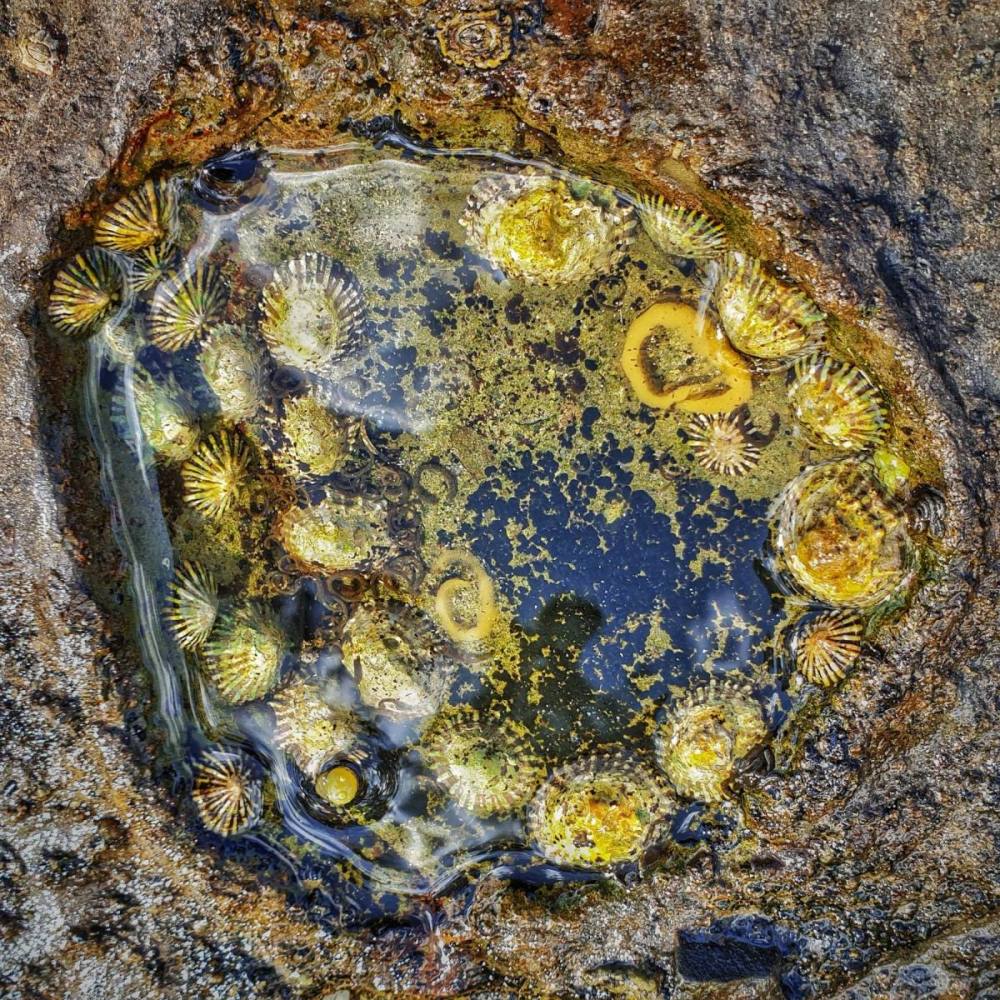
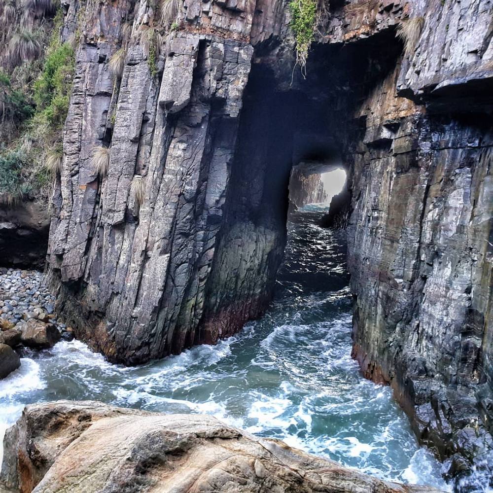
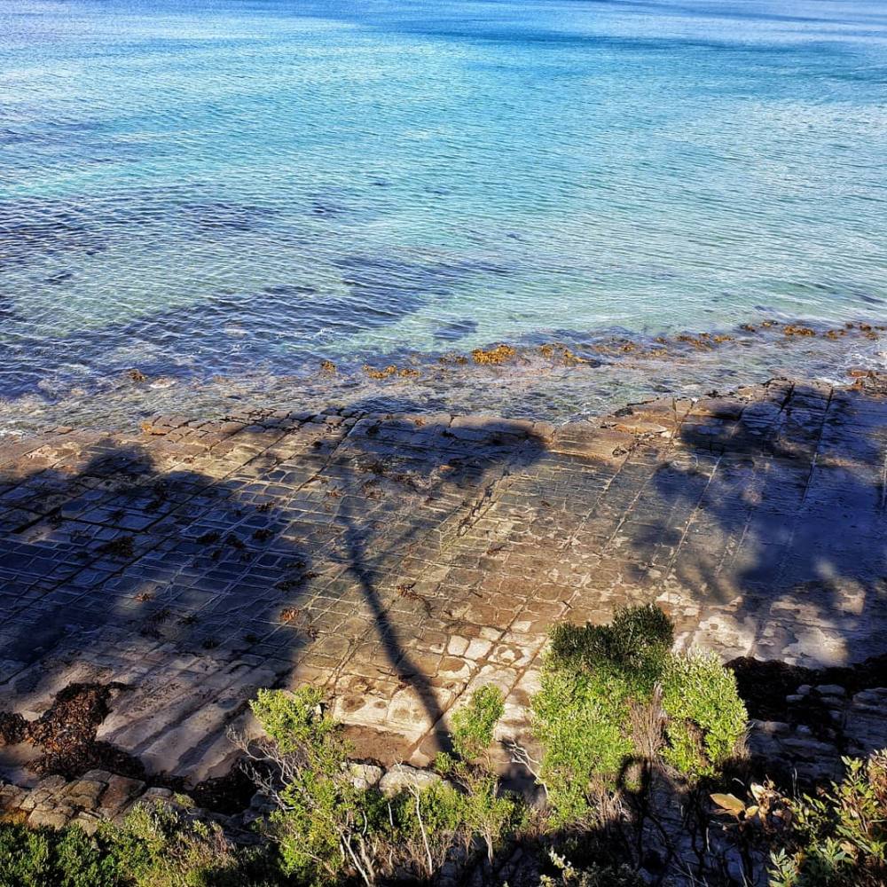
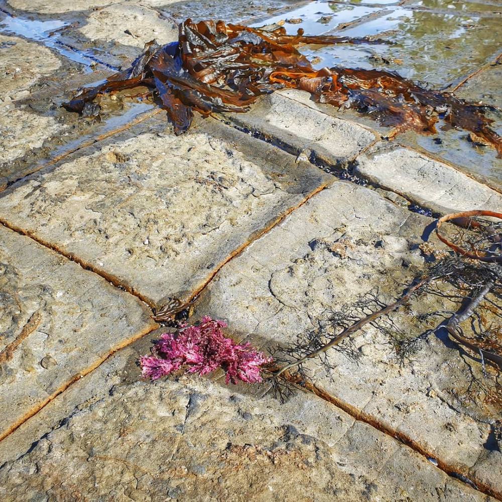
We timed our run to arrive at the Tessallated Pavement on low tide. It’s an intriguing geological feature that becomes dotted with fascinating rock pools when the tide is out. It lies just to the north of Eaglehawk Neck, a narrow isthmus that joins the Tasman Peninsula to the Forestier Peninsula and was patrolled by vicious dogs in the convict era.
Our accommodation was on Brick Point, just south of the Port Arthur historic site. On the first evening we wandered out to nearby Point Puer which housed a purpose-built facility for juvenile male convicts, though little of it remains today.
Driving further south the road terminates at Maingon Bay lookout, near Remarkable Cave (which was closed for track maintenance at the time, but seen on a subsequent visit – see below).
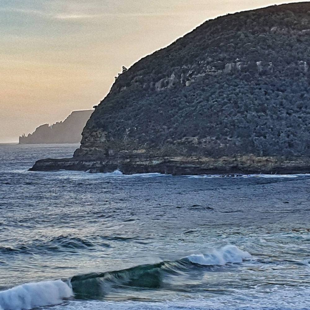
This road skirts the lovely Safety Cove, with great views to Cape Pillar and Tasman Island.
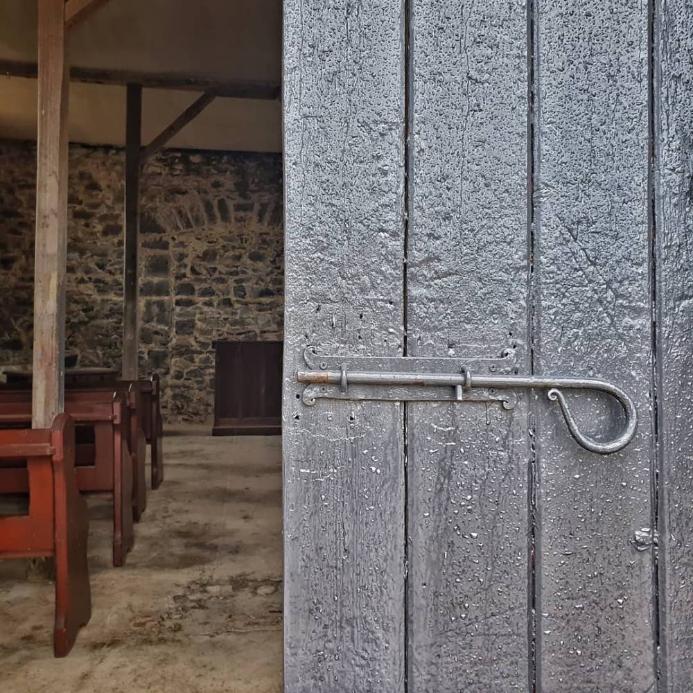
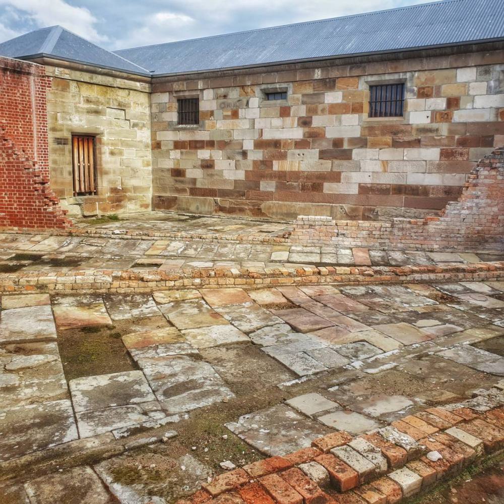
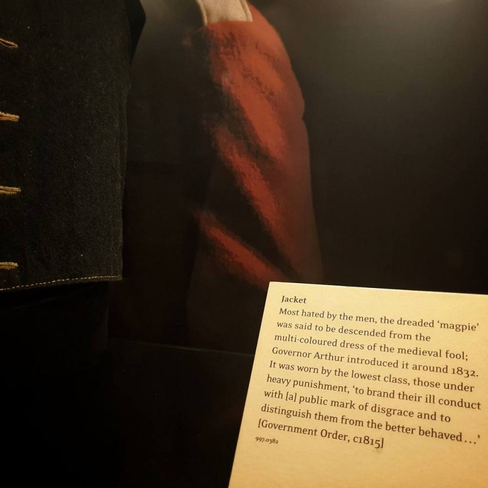
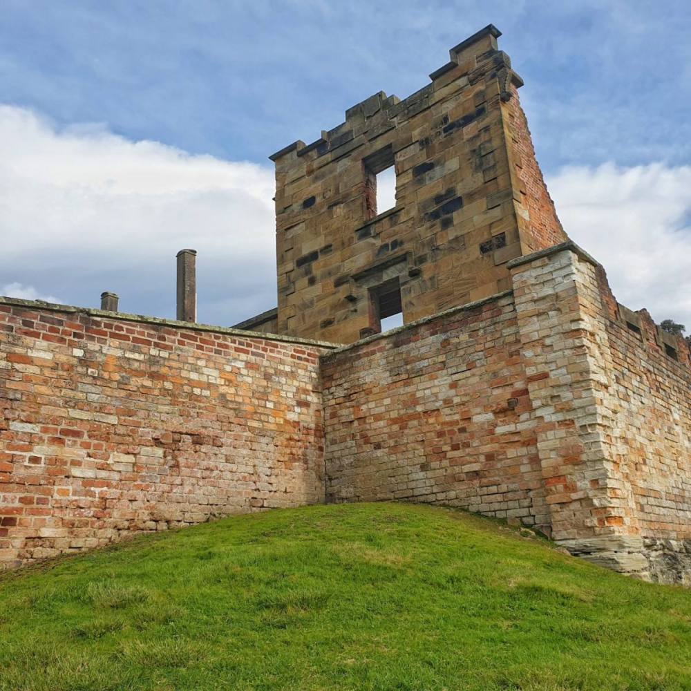
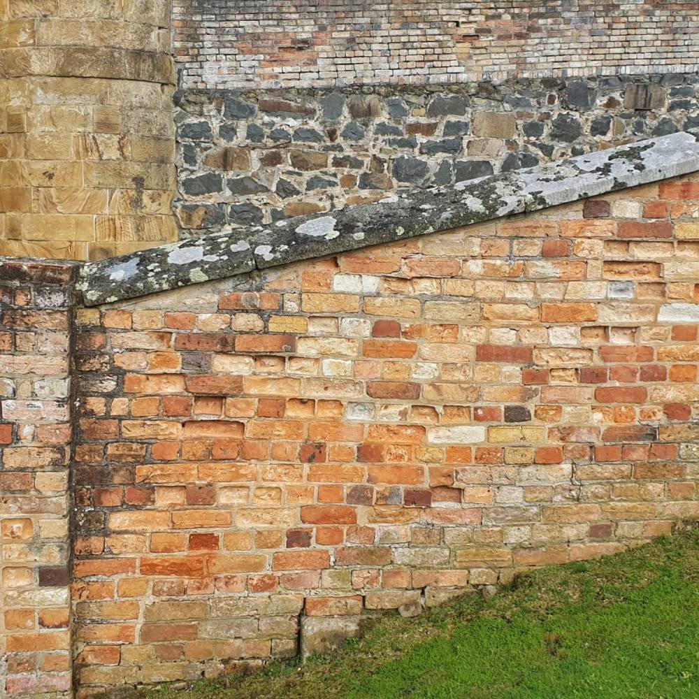
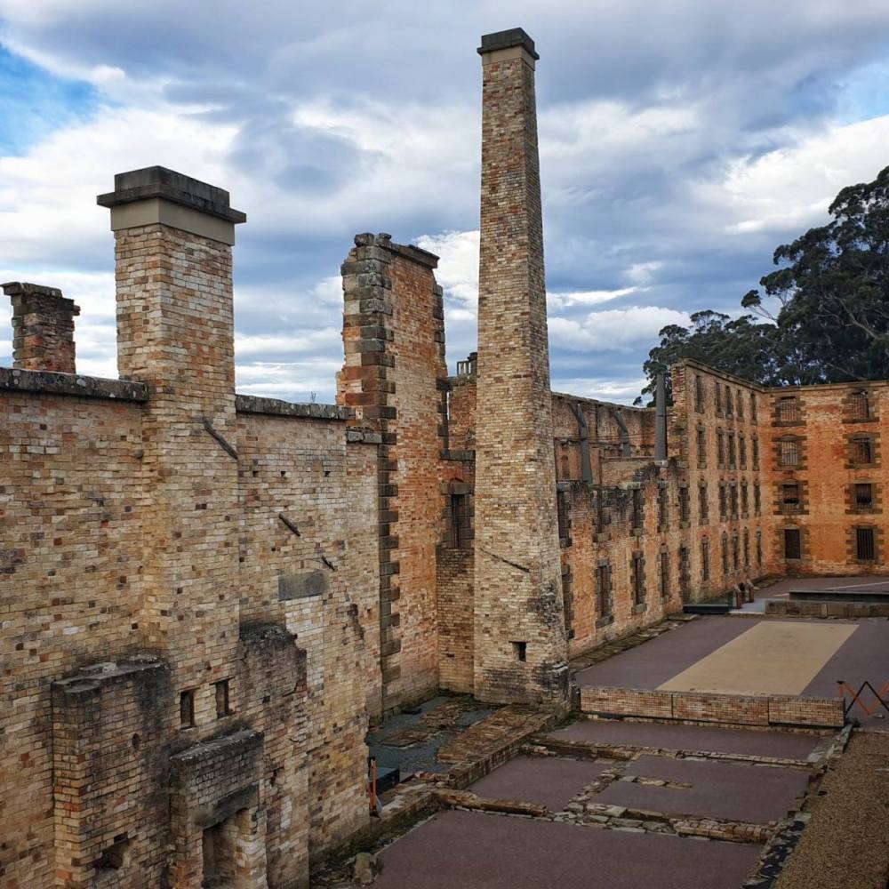
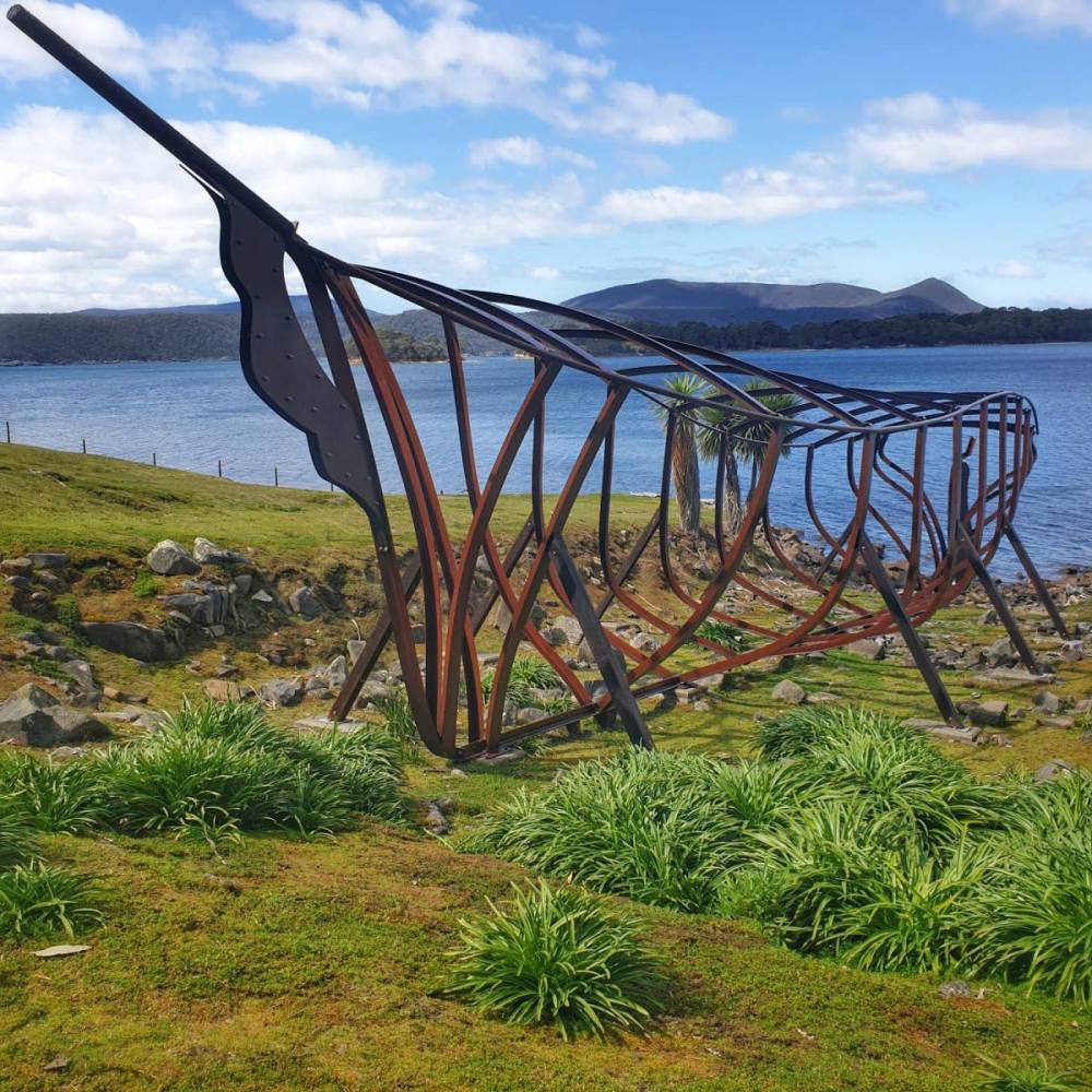
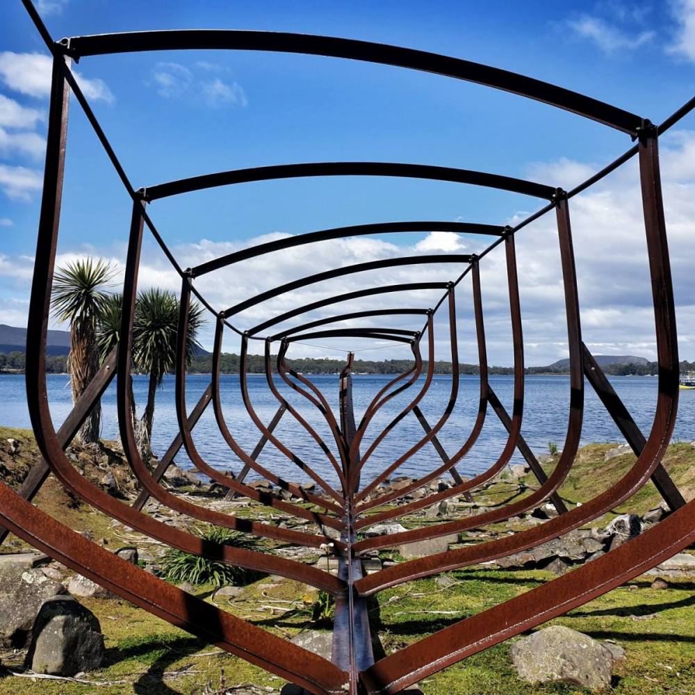
Next day was spent at the Port Arthur historic site. We hadn’t been there for many years, and found it to be very well-managed.
The visit starts with a guided tour taking about 40 minutes and a short boat trip from Mason Cove to the Isle of the Dead and around Point Puer. This provides a nice overview. After an early lunch we then spent the afternoon wandering the entire site.
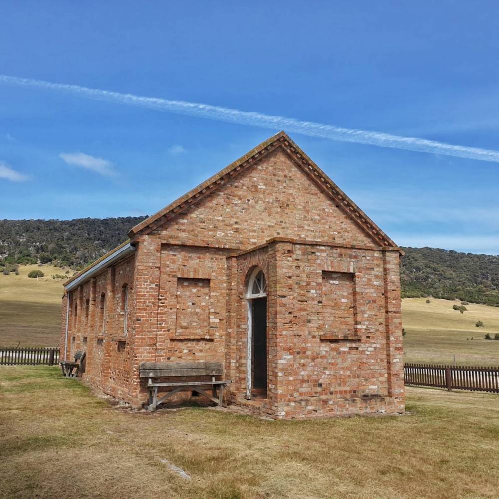
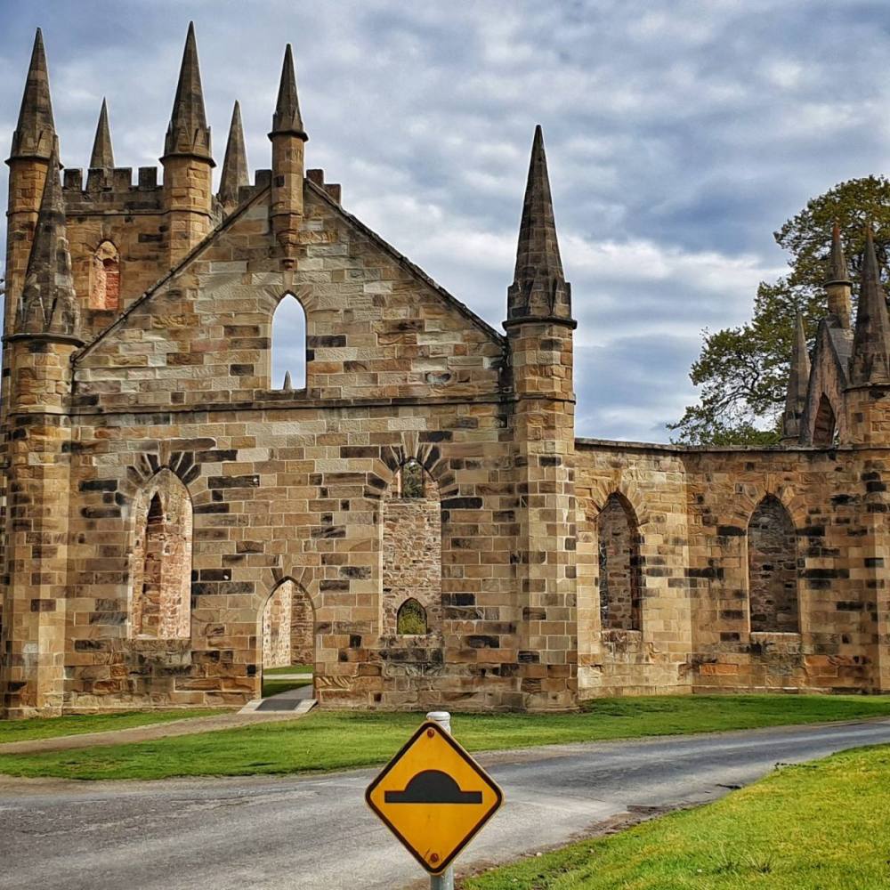
Walking through the Government Gardens and past Government Cottage you reach the ruined Church, built in 1837.
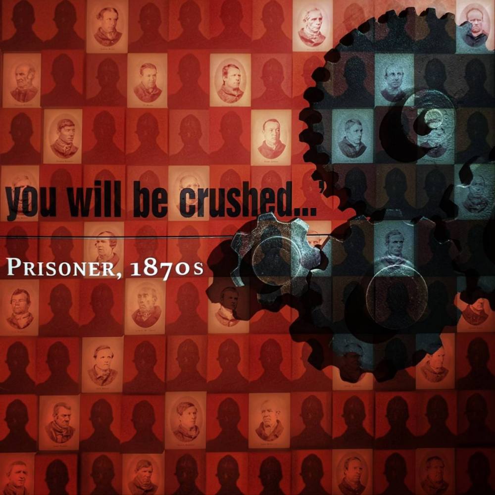
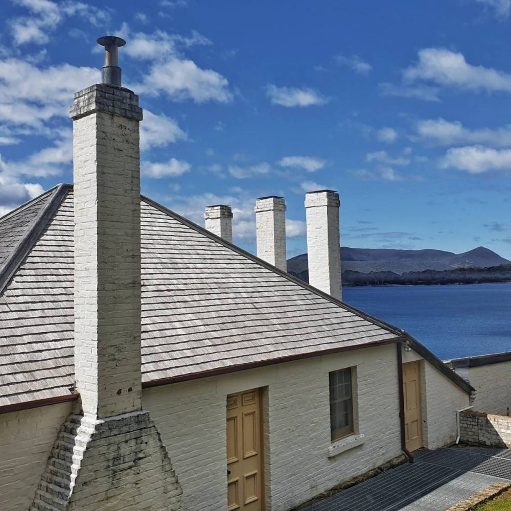
Passing several houses built for eminent people (the magistrate, chaplain, doctor, accountant etc.) you come to the fascinating Separate Prison. It was built in 1849, modelled on the Pentonville Prison in Britain.
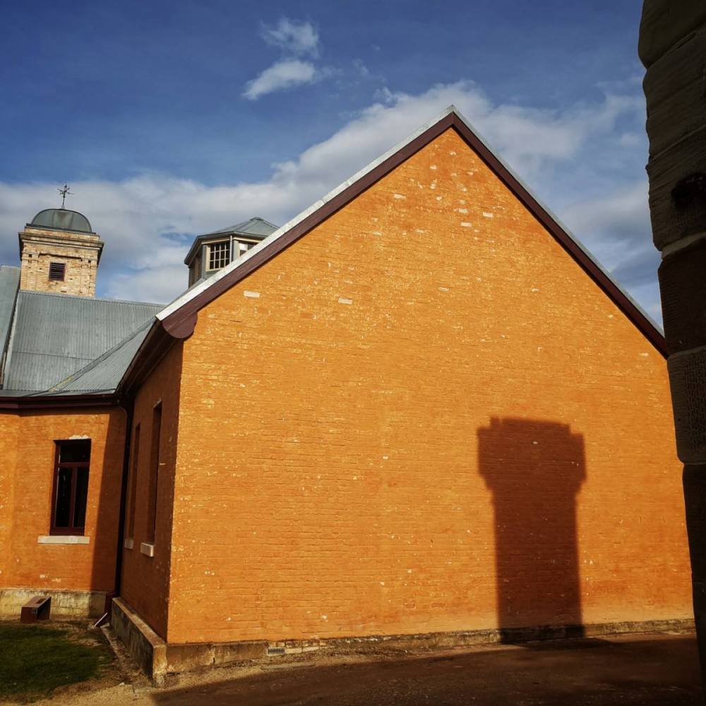
It’s no coincidence that the Asylum is next door, built in 1868. It houses a small museum with some interesting exhibits.
Next stop was the Hospital, built in 1842. It sits high up on the southern boundary of the site.
We then explored the Penitentiary, built in 1857. It’s the most iconic building on the site.
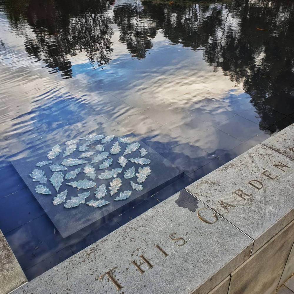
Port Arthur was the scene of a terrible massacre in 1996, in which 35 innocents lost their lives. A moving memorial has been created within the shell of the old Broad Arrow Cafe.
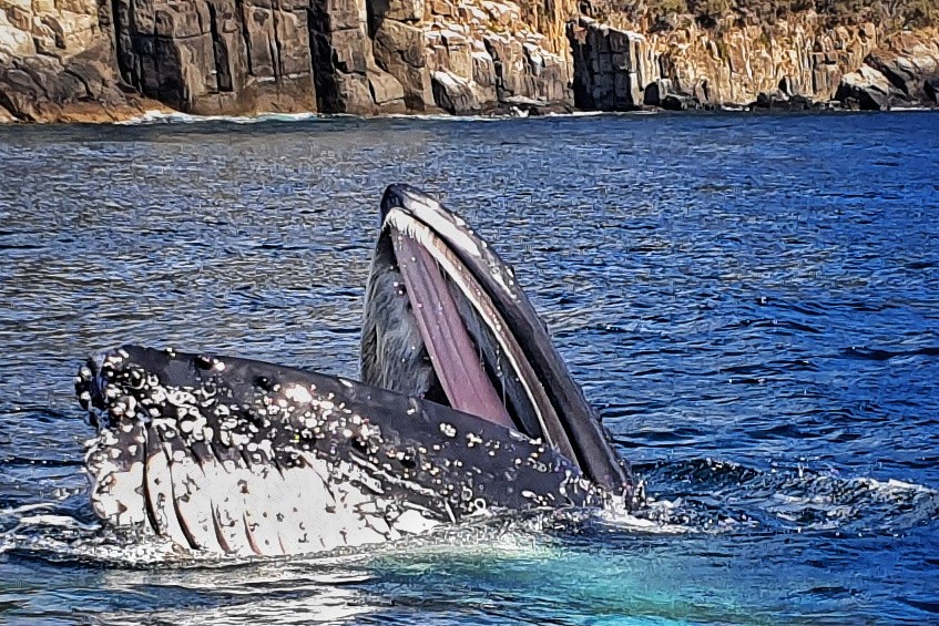
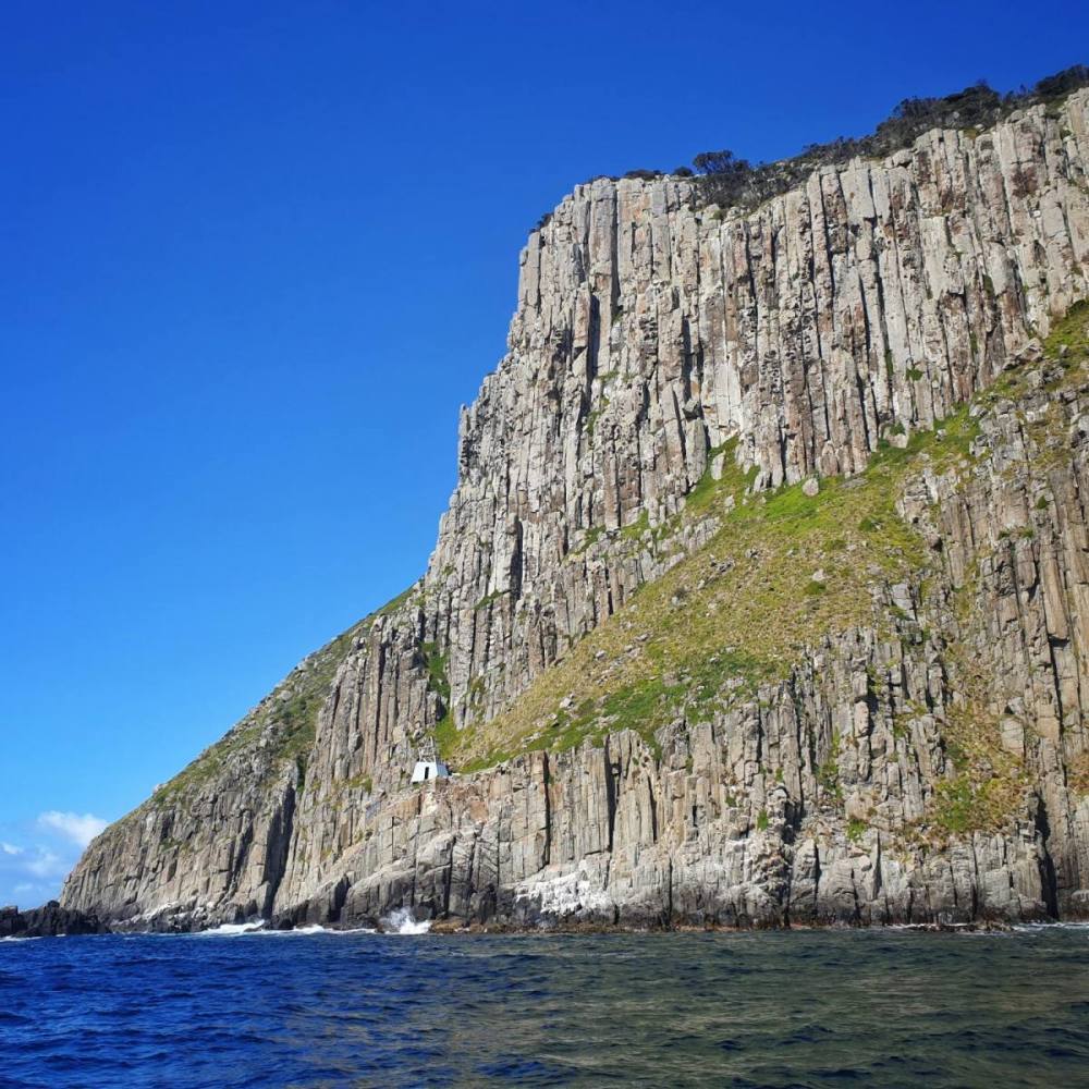
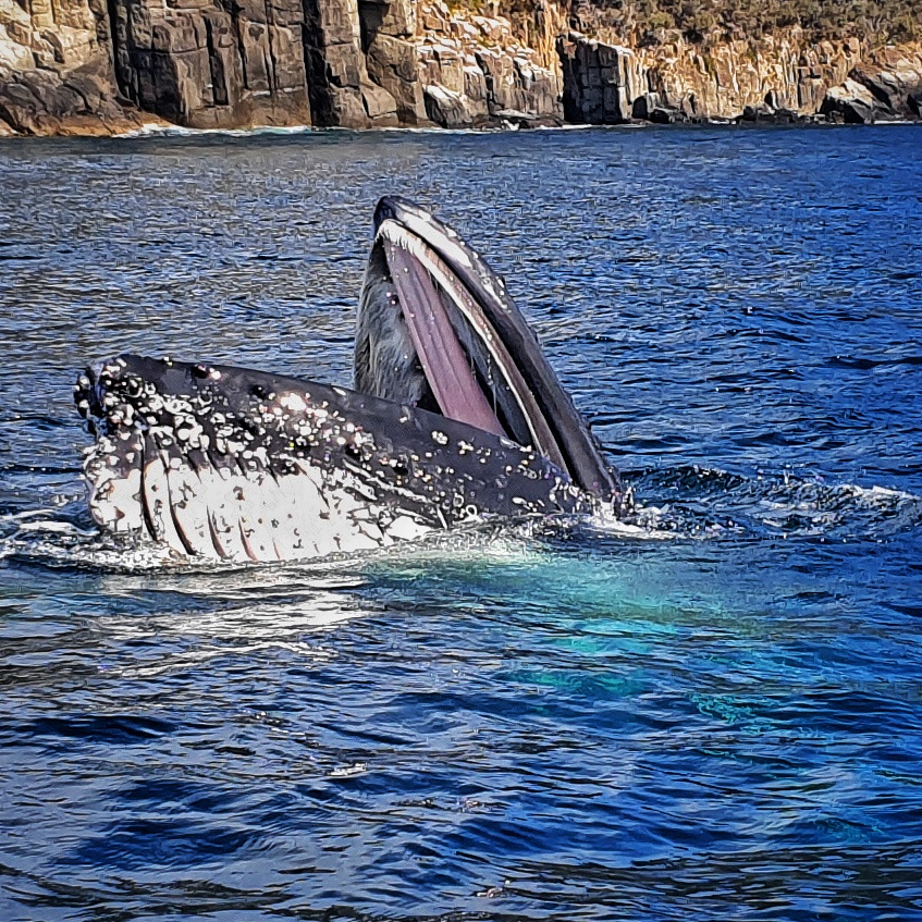
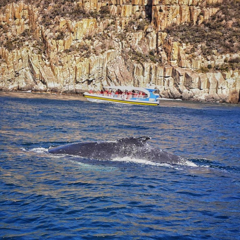
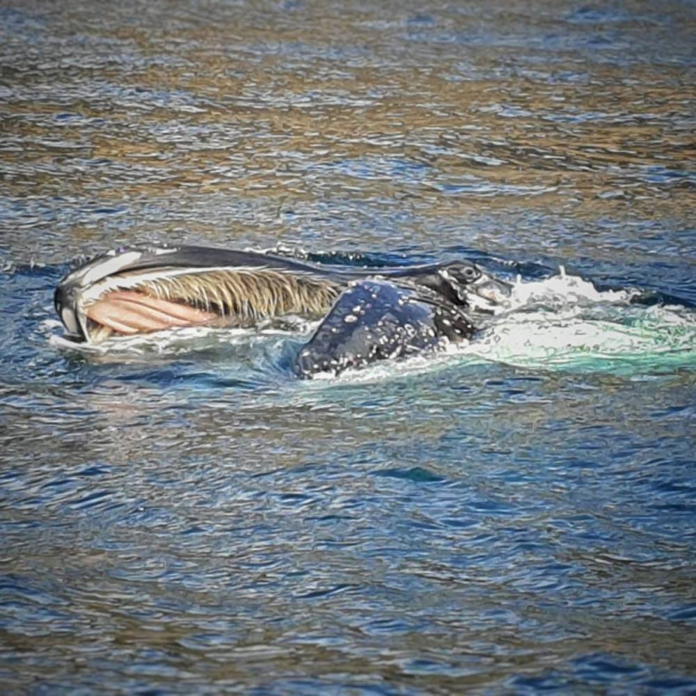
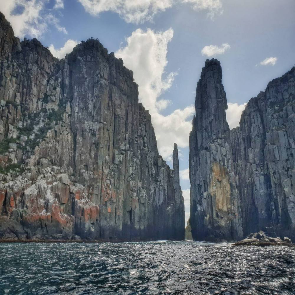
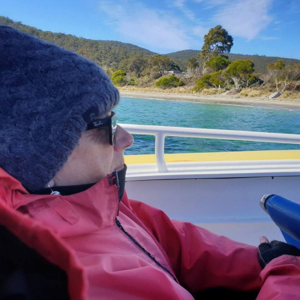
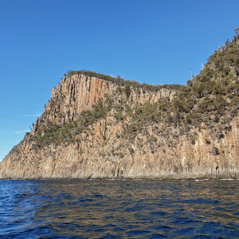
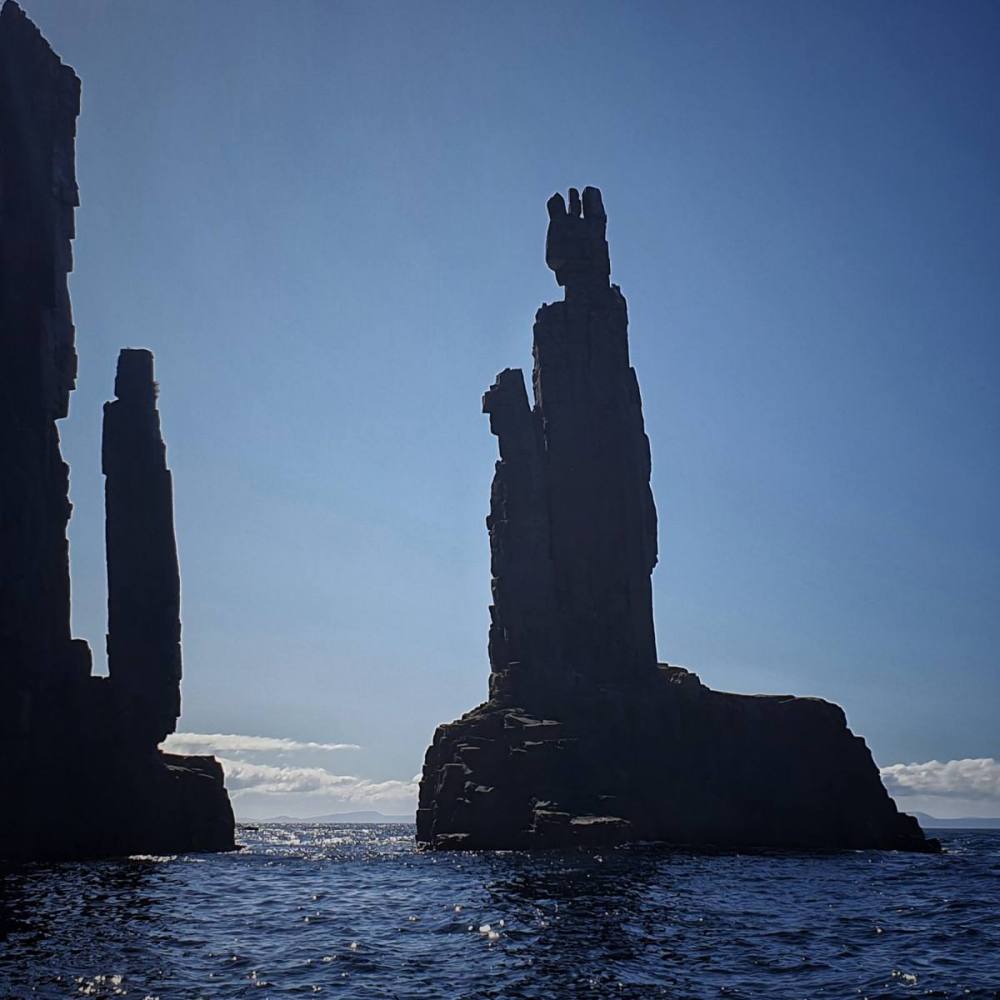
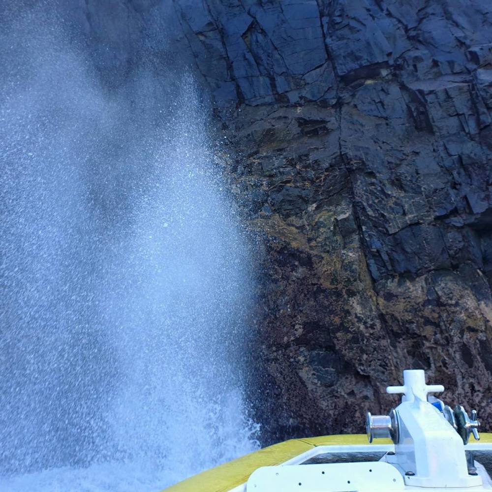
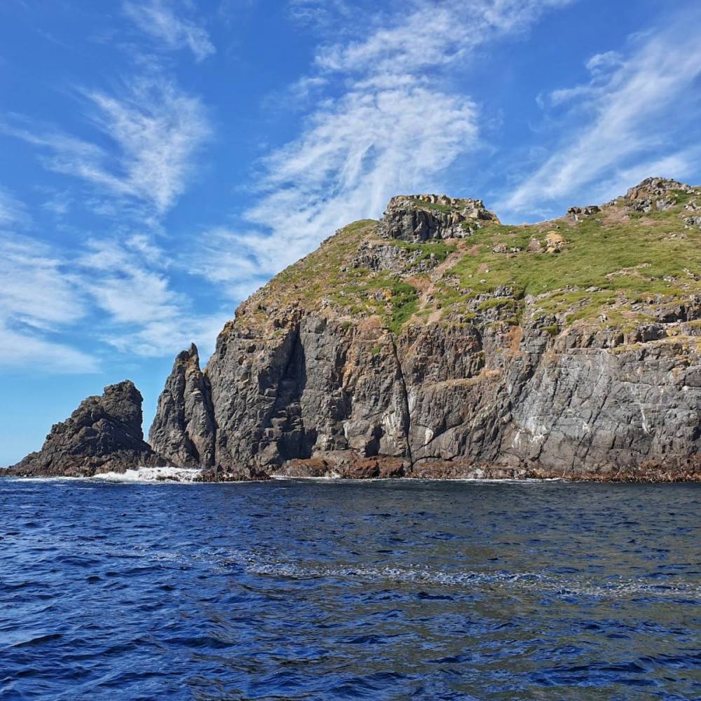
We were keen to do a Pennicott Wilderness Journeys Tasman Island Cruise, and the weather was suitable on the following day. It was a fabulous experience.
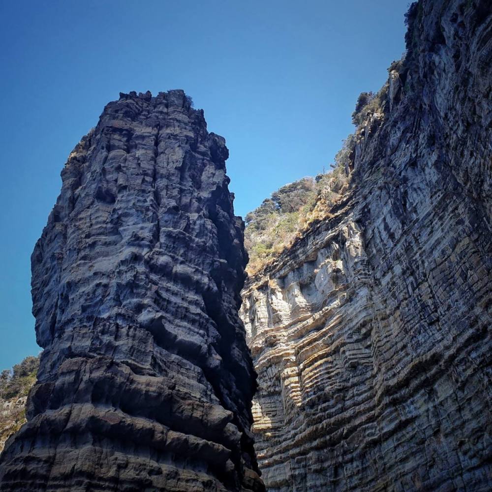
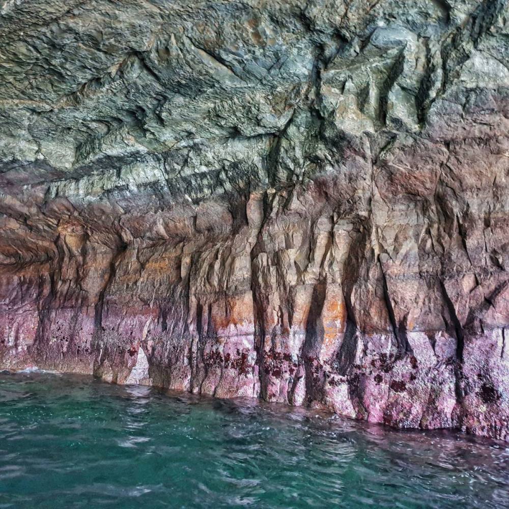
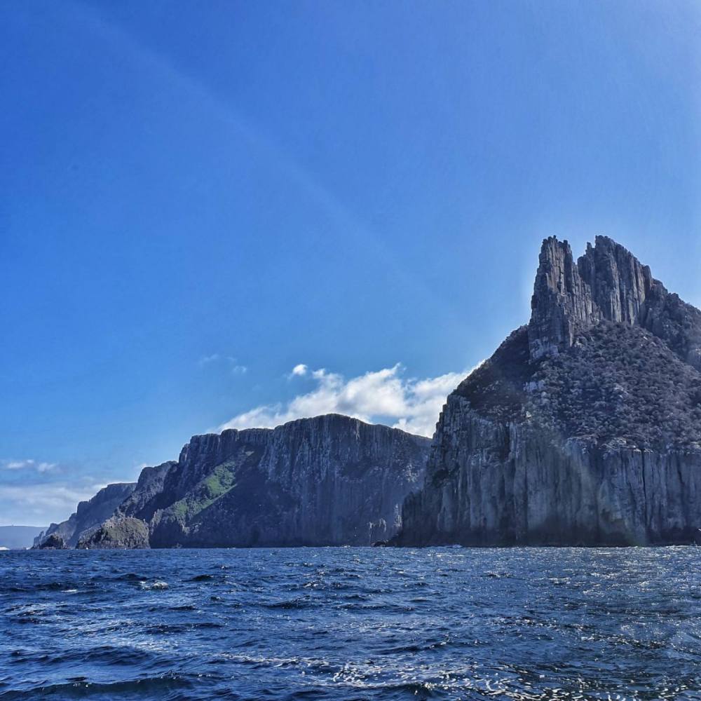
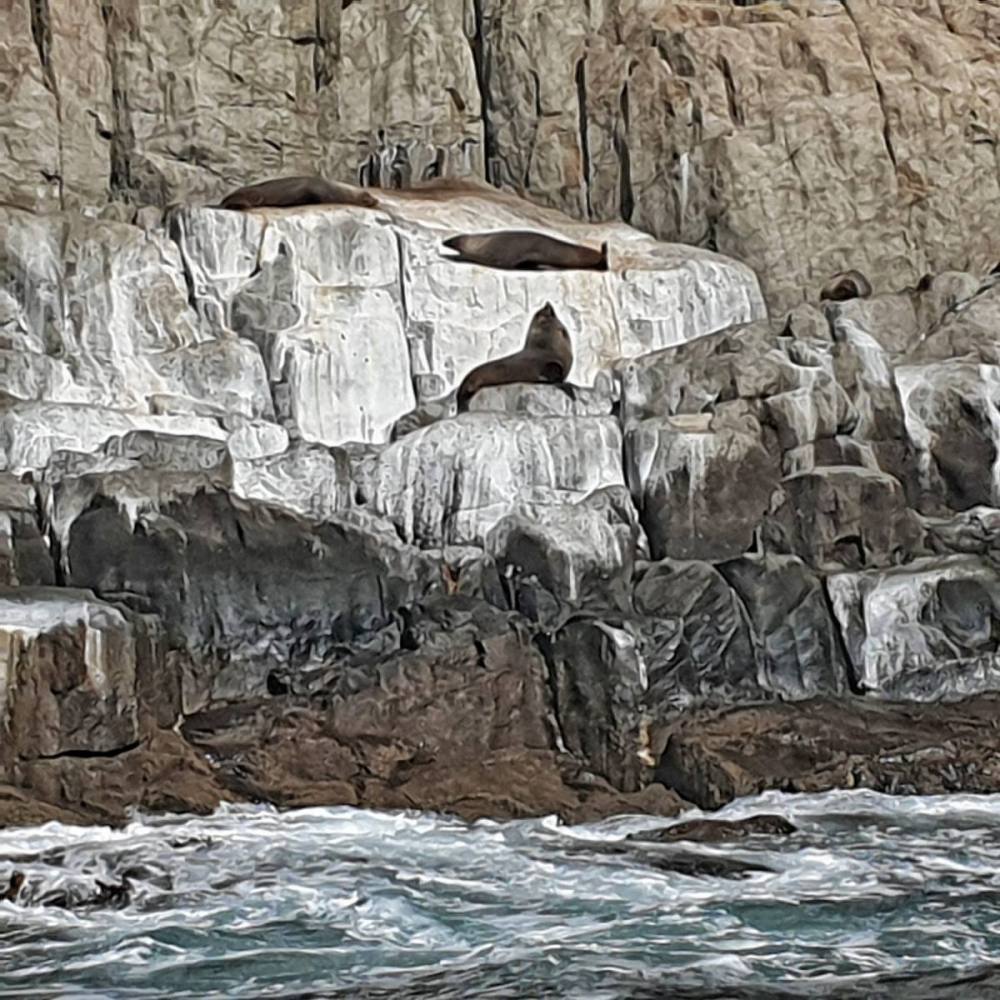
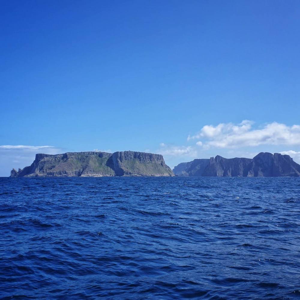
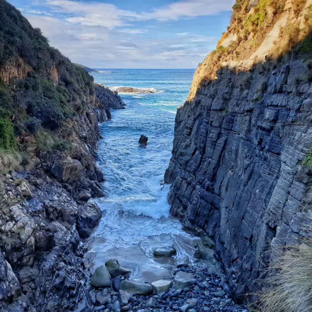
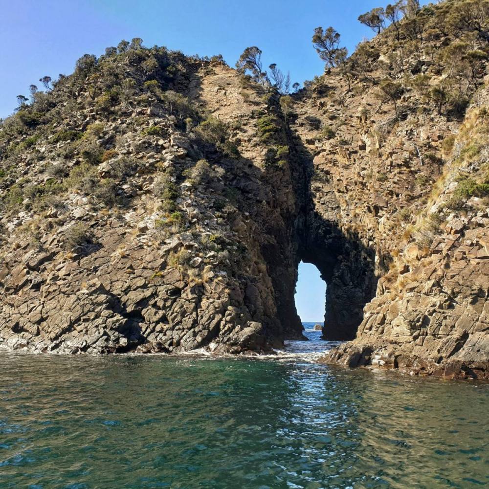
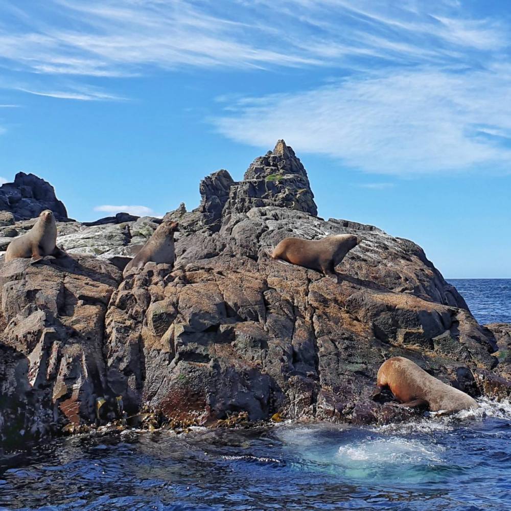
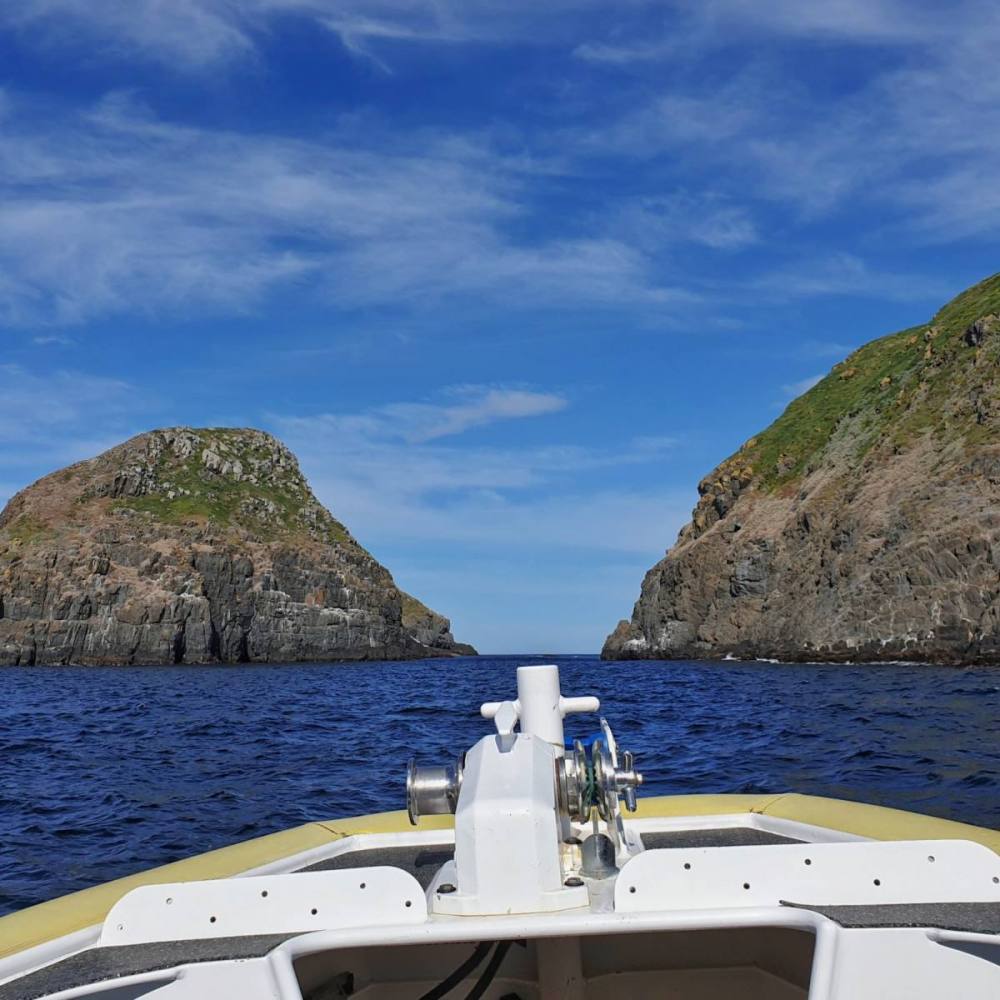
Leaving Port Arthur there were rock spires and sea caves along the coastline. We rounded Cape Pillar and circled Tasman Island. We stopped to look at a seal colony then pulled in to a sheltered bay only to find a pod of Humpback Whales feeding on krill. Wow! Once in a lifetime stuff for us. Last stop was the spectacular Cape Hauy before we disembarked at Eaglehawk Neck and bussed back to Port Arthur. An unforgettable day.
On our last morning we checked out Basket Bay then revisited the historic site to see the shipyard and walk out to Ladies Bay.
Perhaps because the Tasman Peninsula is so close to home we’ve ignored it for many years. We won’t continue to make that mistake.
UPDATE
True to our word, we took another trip to the Tasman Peninsula with family in early Autumn.
Stayed at Stewarts Bay, just neat the Port Arthur Historic Site.
We visited the aptly named Remarkable Cave (closed for maintenance on our previous trip).
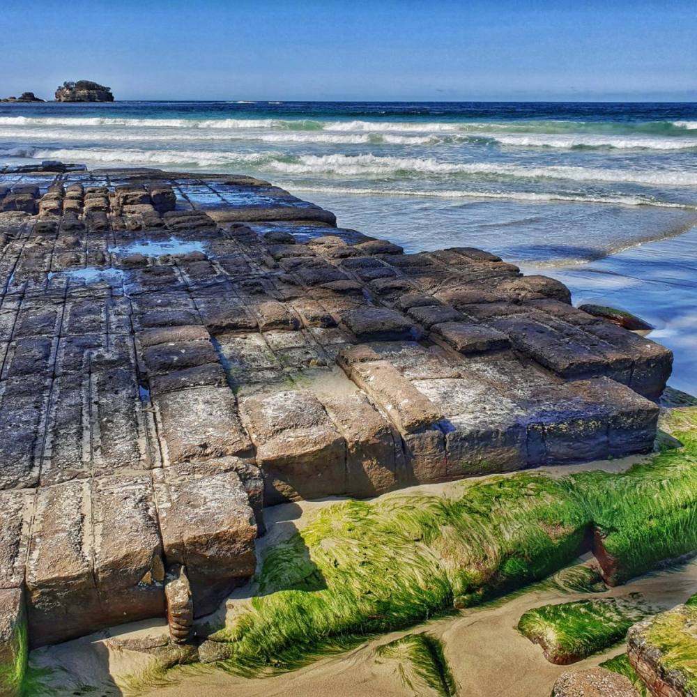
Revisted the Tesselated Pavement on the way home, stopping for coffee overlooking Eaglehawk Neck to admire the natural beauty of the Tasman Peninsula, and reflect on it’s brutal history.
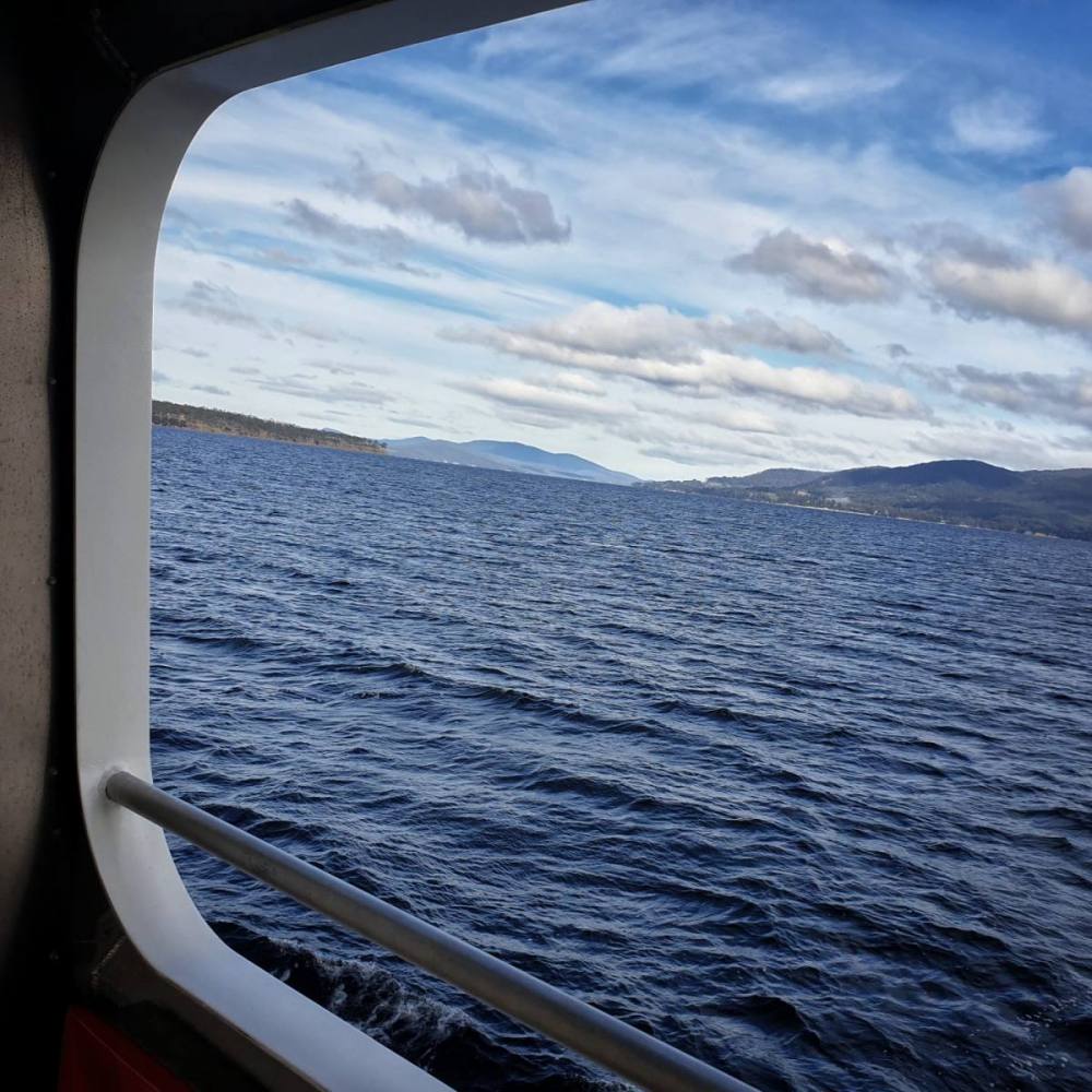
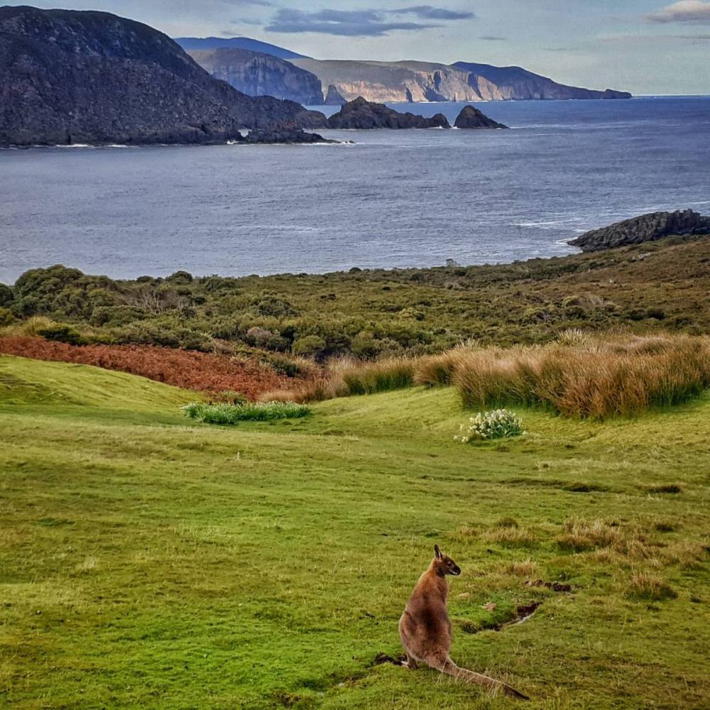
Living in the island state of Tasmania, visiting a smaller island for a holiday might seem a little odd. Yet there’s no doubt that taking the short vehicular ferry ride to Bruny Island always feels like a getaway. Bruny is really two islands in one. North Bruny and South Bruny are joined by a narrow, sandy isthmus called The Neck, yet they’re quite different in character. South Bruny has a National Park, whereas North Bruny is more rural. We stayed in Alonnah, a small township in the northwest corner of South Bruny Island which has good services. For us it provides the perfect base exploring all the delights of Bruny Island.
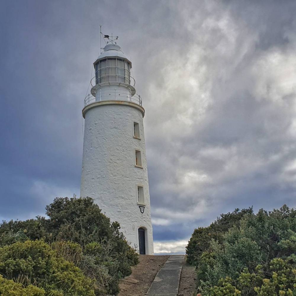
Coming off the ferry we checked in to our accommodation then drove down to the Cape Bruny lighthouse. We were blessed with a beautiful afternoon and evening – calm and clear. On the way back from the lighthouse we stopped at Jetty Beach and Cloudy Bay Lagoon.
Next morning we drove down to the gorgeous Cloudy Bay. We walked the coastal track and the beach, and watched hardy surfers kitted out in wetsuits catching some impressive breaks.
Headed over to Adventure Bay for lunch then combed the beach and dunes in the afternoon.
We were keen to do a Pennicott Wilderness Journeys Bruny Island Cruise, and the weather was suitable on the following day. It was a great experience.
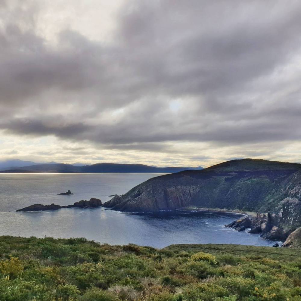
Leaving Adventure Bay there were sea cliffs, rock spires, blowholes, and sea caves along the coastline. We stopped to look at a fur seal colony then motored out to see The Friars – a special treat that can only be done when the weather is right. We felt very lucky to have the day we had.
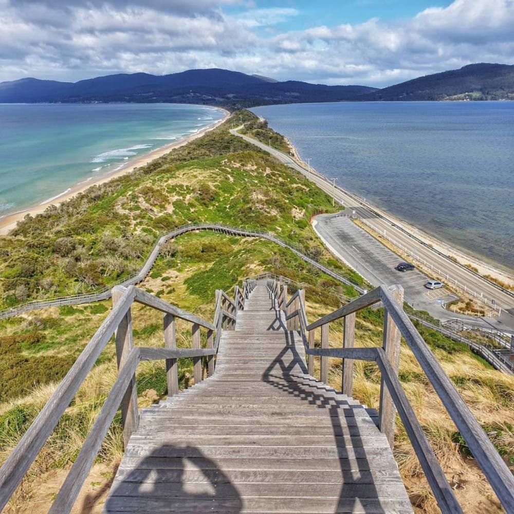
Headed home the following morning, taking the time to stop at The Neck and climb the lookout for fabulous 360 degree views.
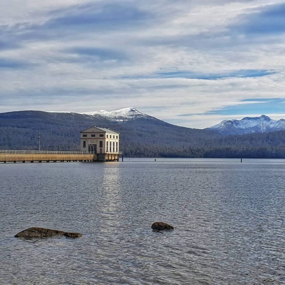
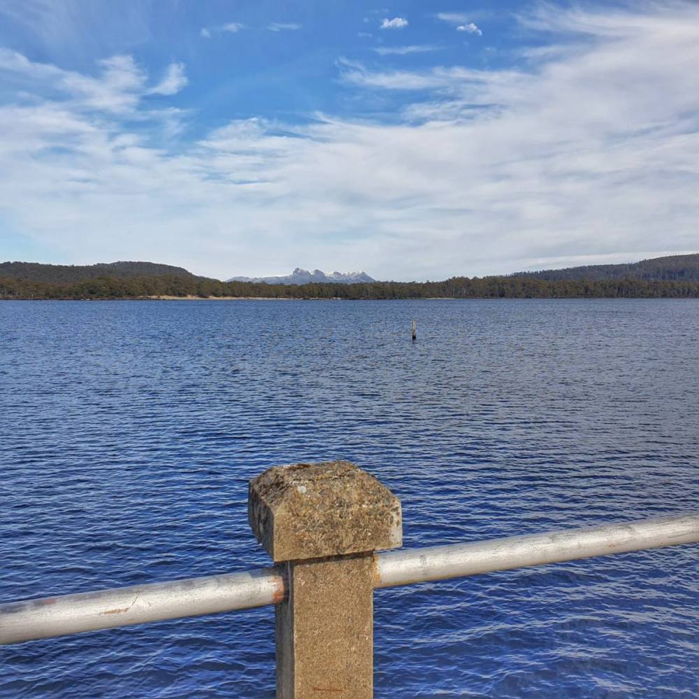
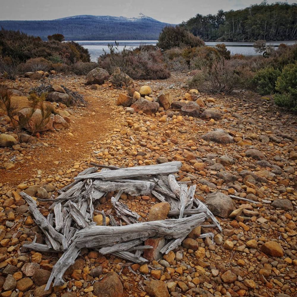
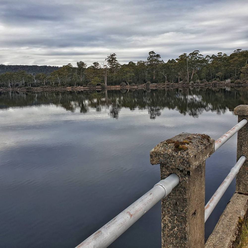
Lake St Clair (leeawulenna) is a natural freshwater lake located in the Central Highlands of Tasmania. It forms the southern end of the Cradle Mountain-Lake St Clair National Park, which is part of the Tasmanian Wilderness World Heritage Area. With a maximum depth of 160 metres, it is Australia’s deepest lake and marks the start of the River Derwent which eventually finds its way to the ocean at Hobart.
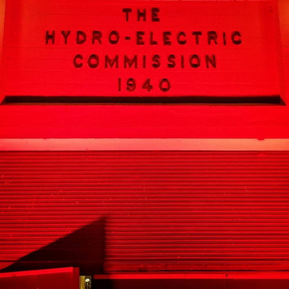
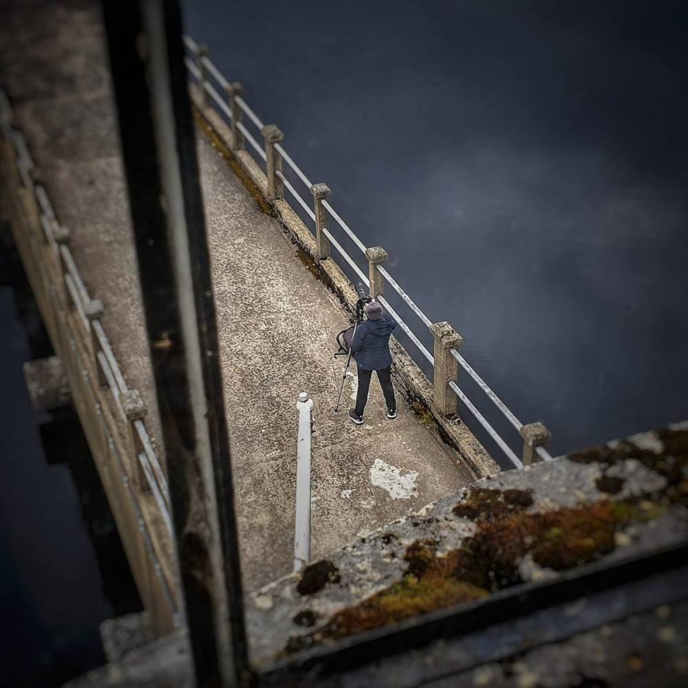
We stayed at Pumphouse Point which provides upmarket accommodation in old Hydro Electric Commission buildings that have been tasefully refurbished.
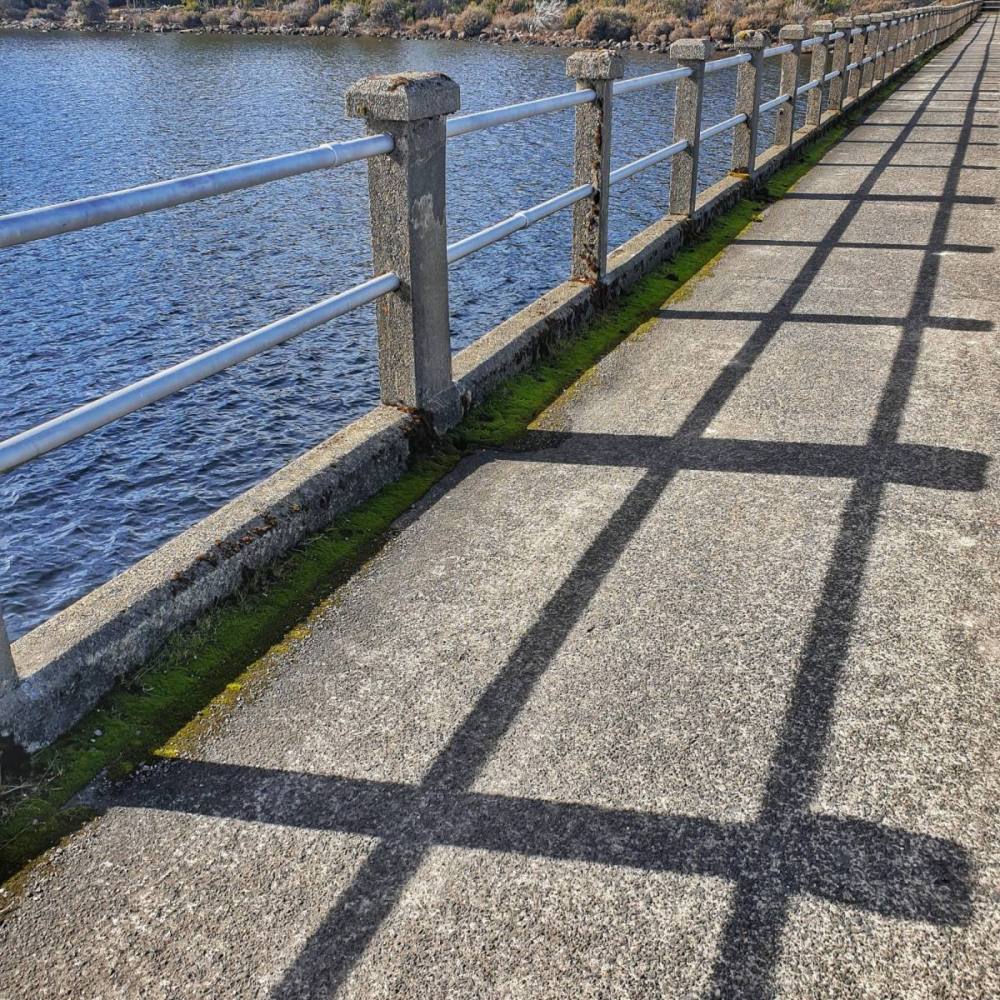
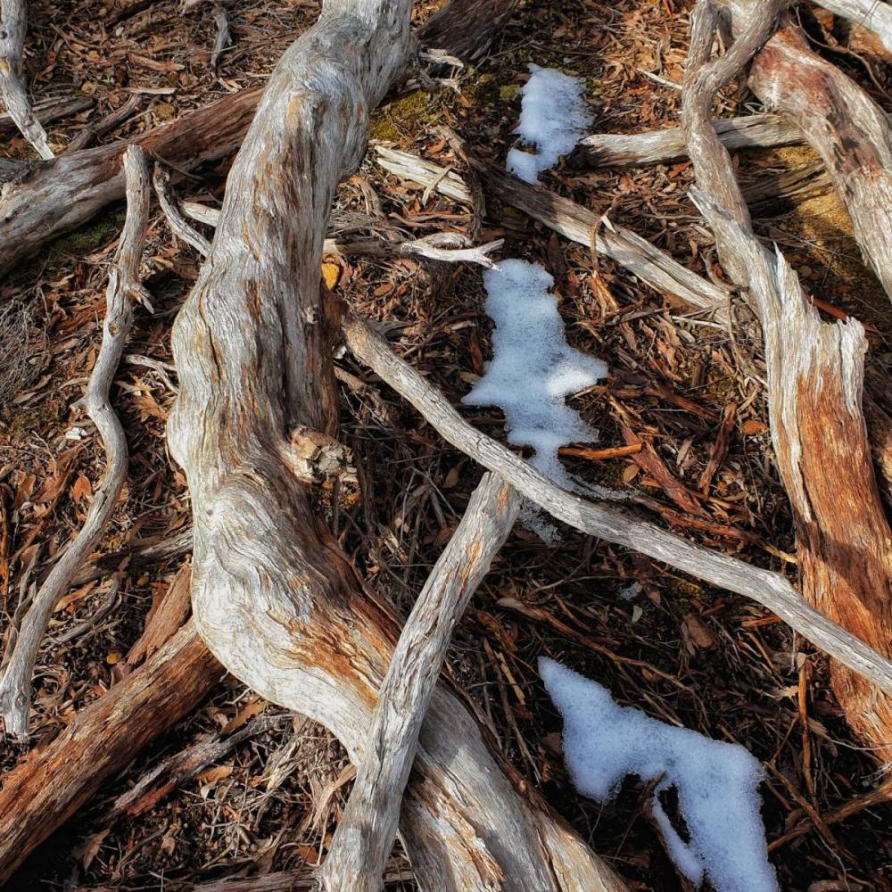
Next morning we took a walk around the point. The snowgums were especially magnificent.
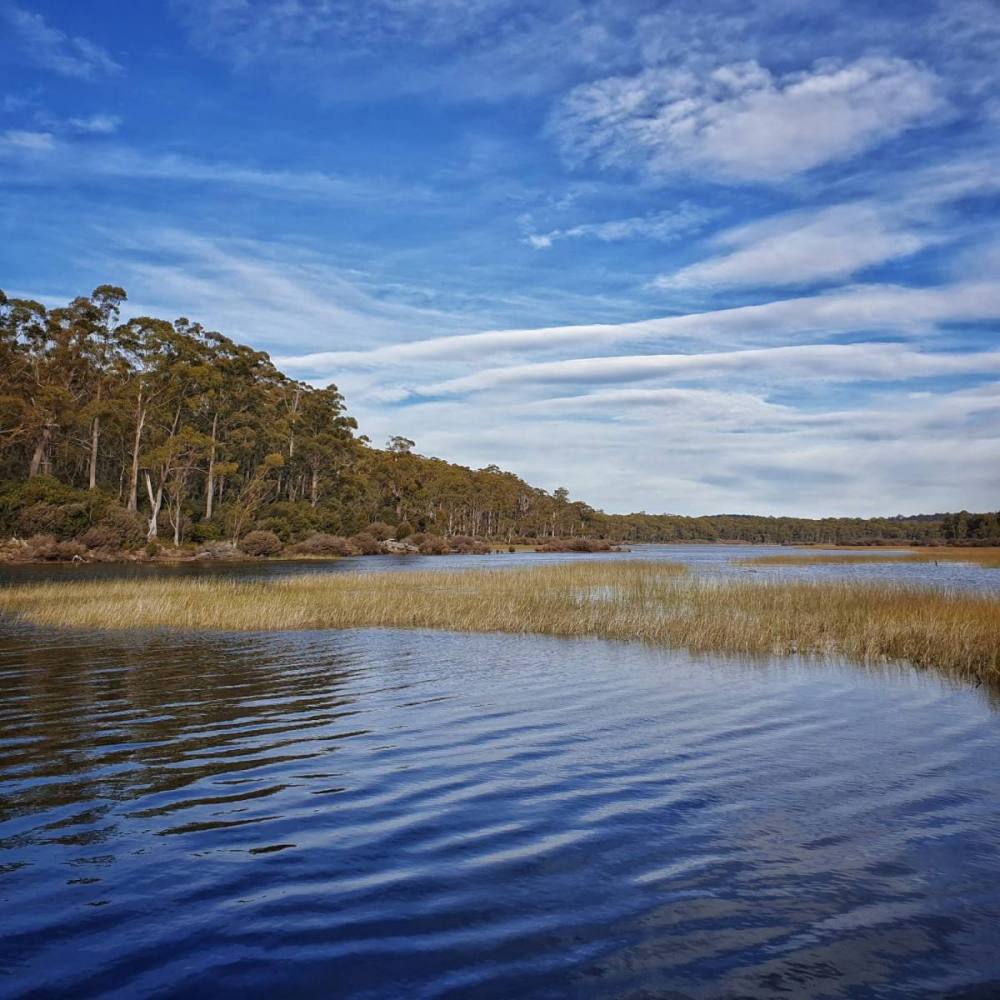
In the afternoon we walked along the Frankland Beaches to the National Park visitors’ centre, then back again.
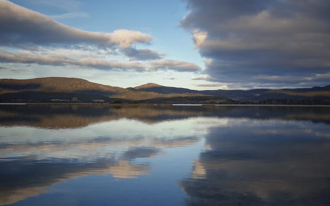
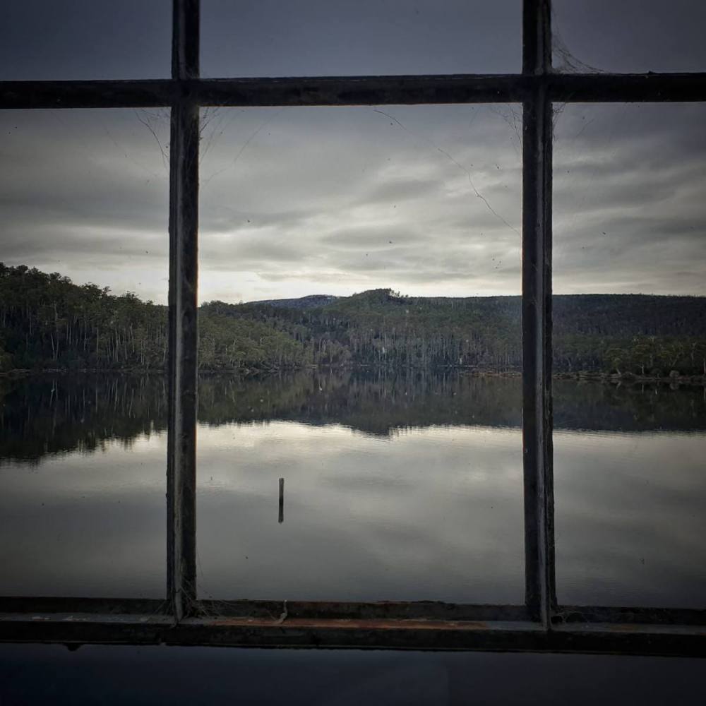
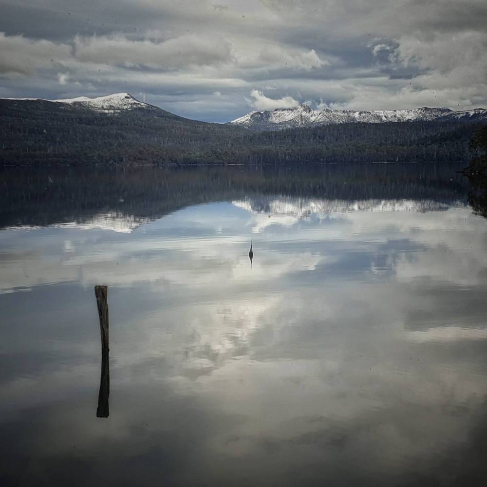
On our last morning it was very still, so we took advantage of staying in the Pumphouse and enjoyed taking photographs with 360 degree views of the lake.
For whatever reason we’d never visited the far northeastern corner of Tasmania. With COVID-19 confining us to the state, but government control measures allowing us to move freely within our island state boundaries, we decided it was the time to head in this direction.
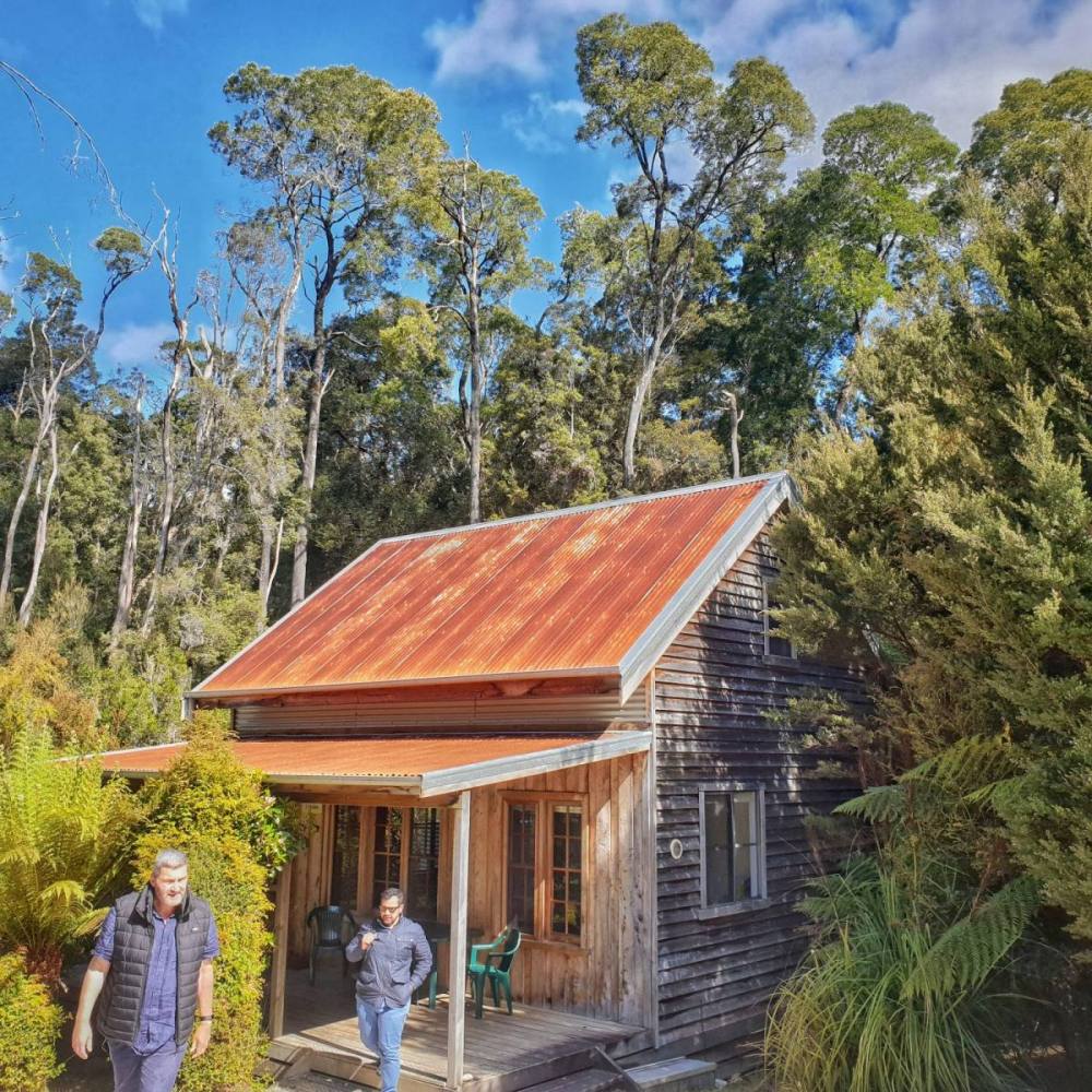
We stayed in a cottage on the Ringarooma River in the town of Branxholm. It’s quite close to the former tin-mining town of Derby which has recently boomed as a mecca for mountain bikers. It suited us to stay in a quiter place yet have access to the amenity that Derby now provides.
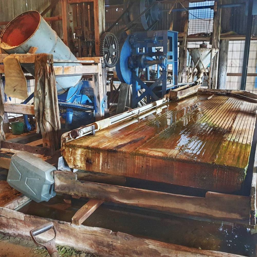
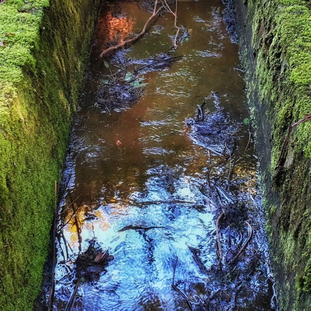
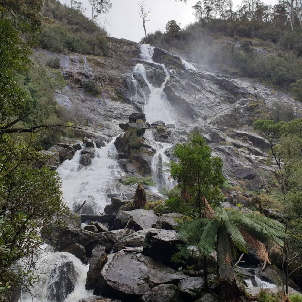
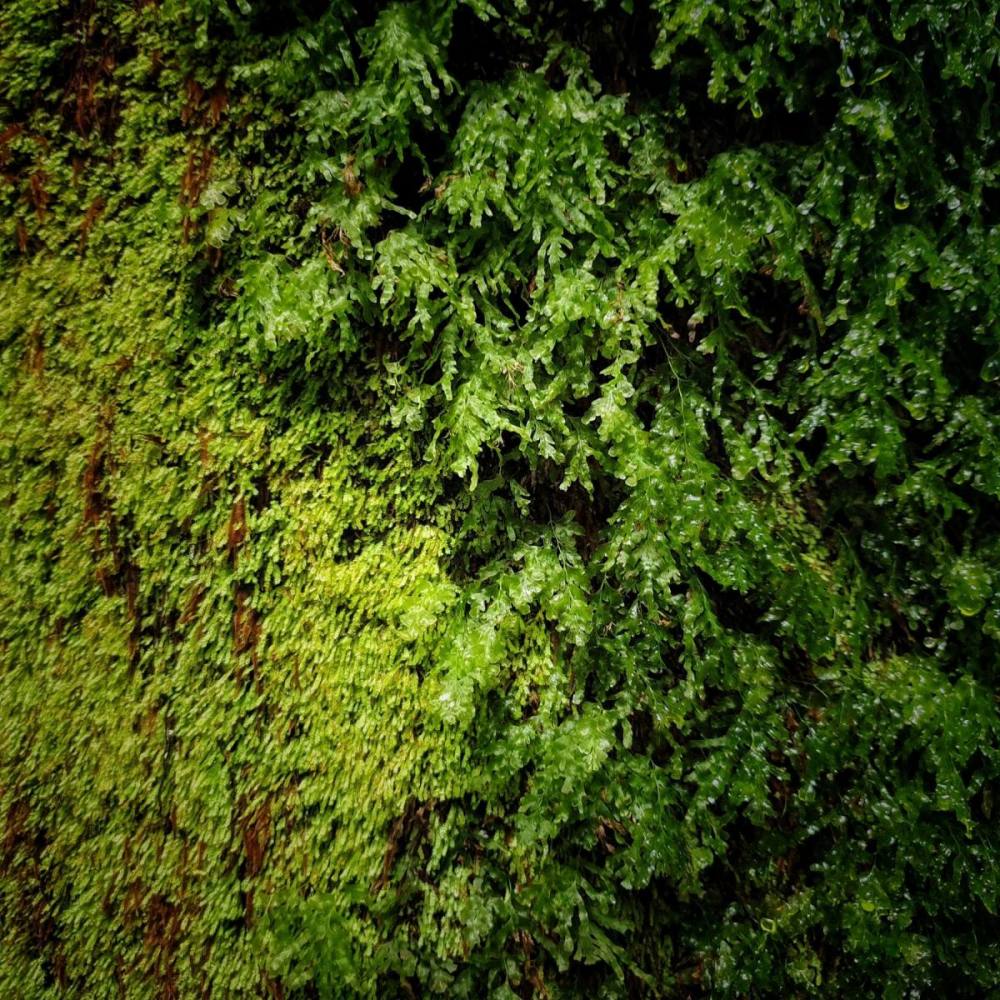
On our first day we sought out the ruins of a tin mining site called Anchor Stampers which has mostly been reclaimed by rainforest. After lunch at the Pyengana dairy farm we visited St Columba Falls.
Next day we drove into the far northeast corner of Tasmania.
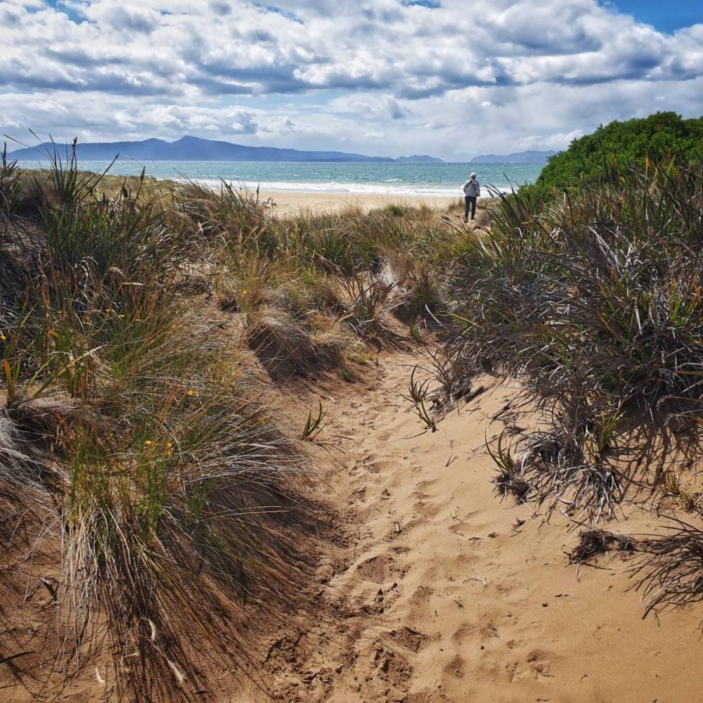
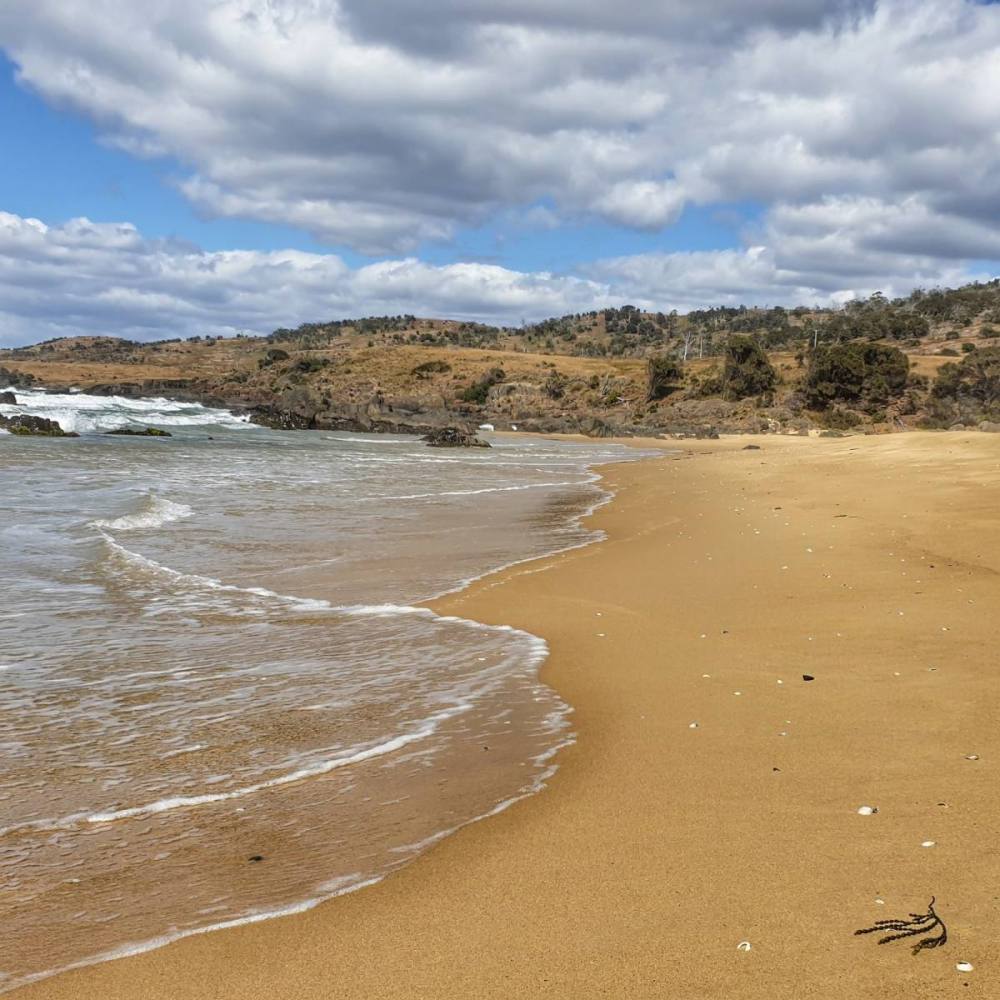
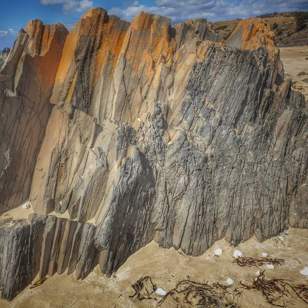
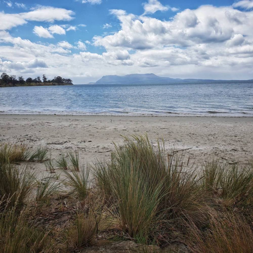
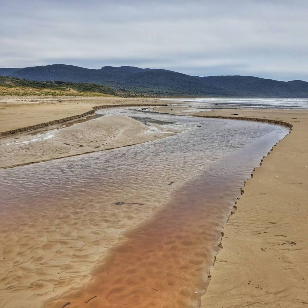
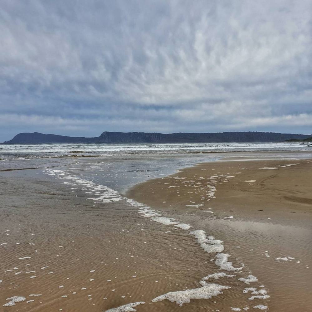
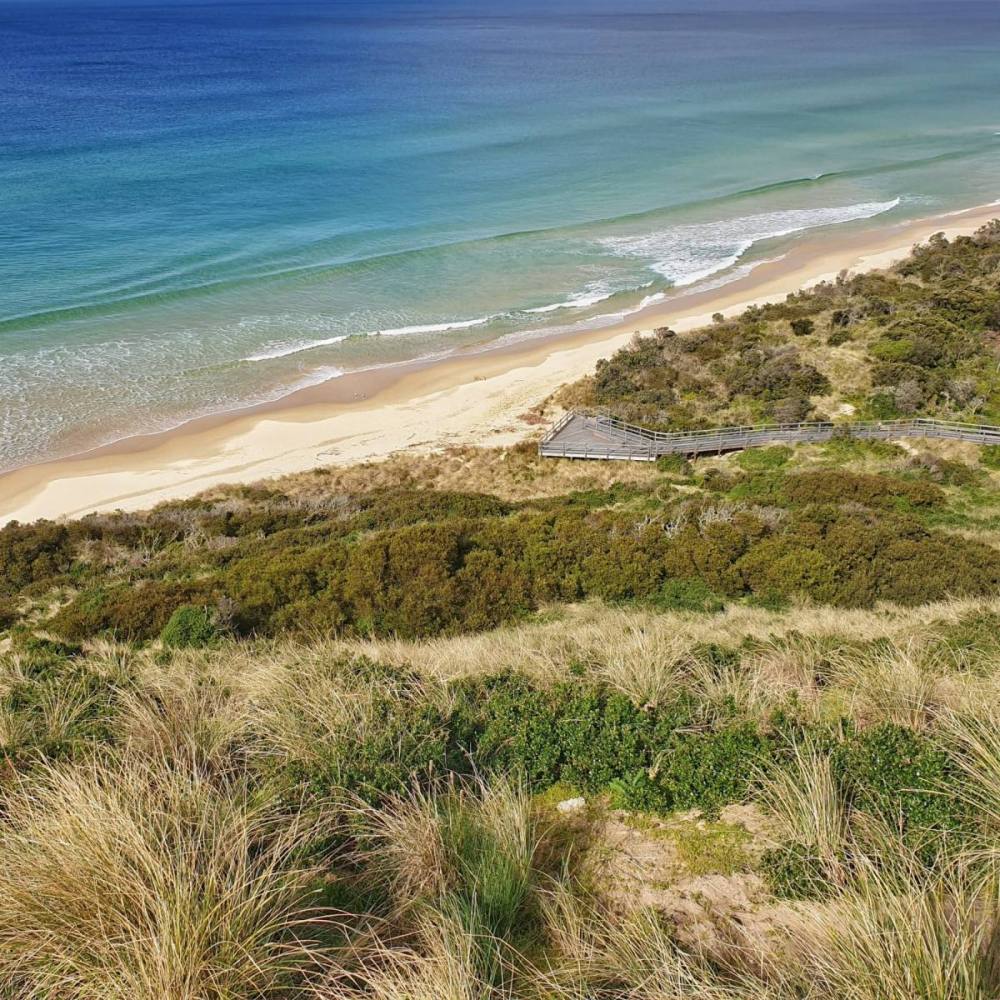
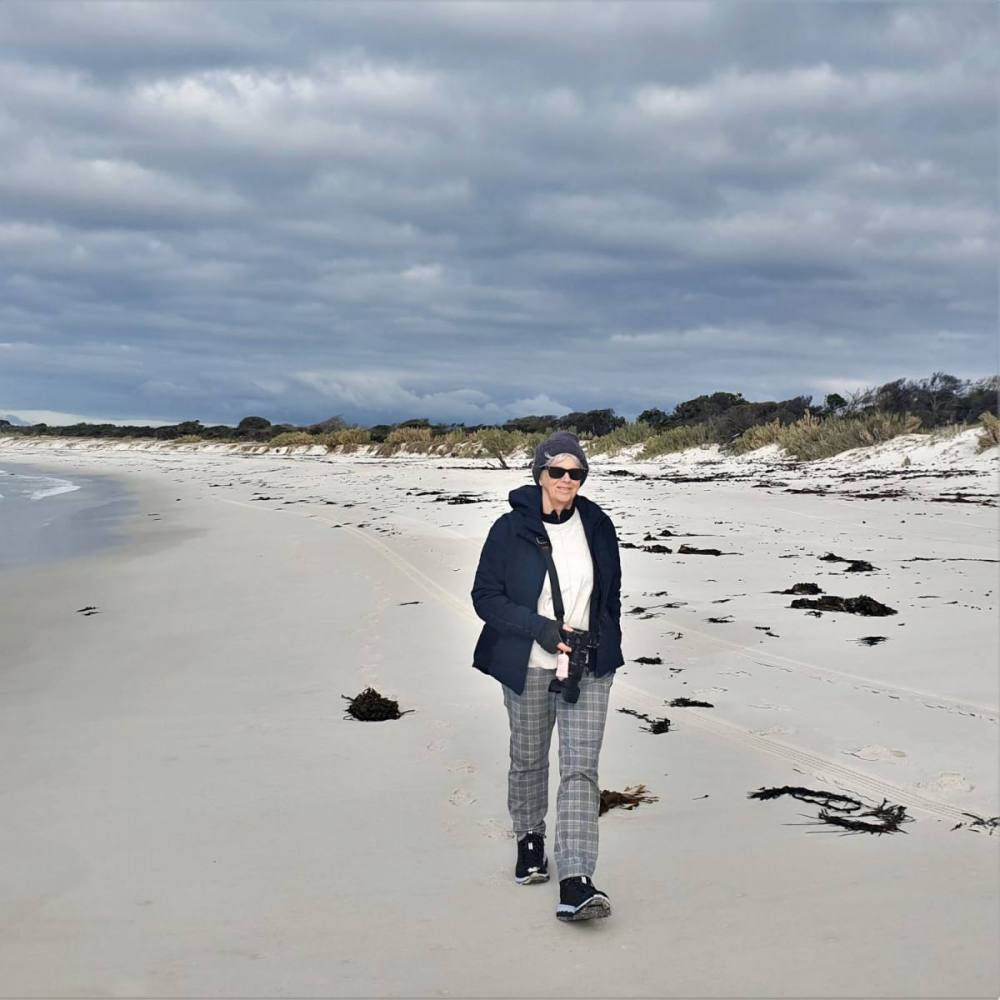
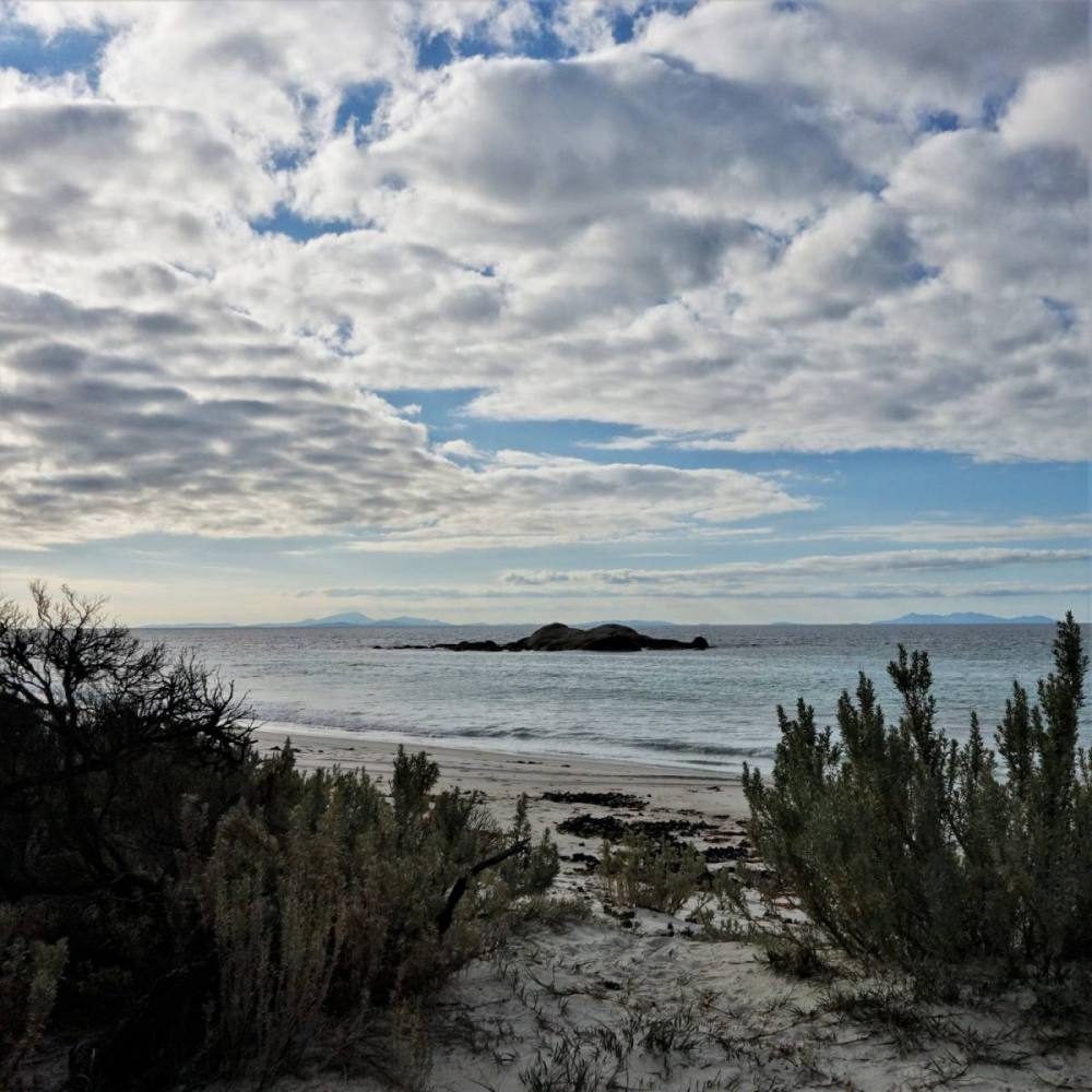
First stop was the lovely Tomahawk Beach, where the Furneaux Islands feel almost within touching distance.
We pushed on to Musselroe Bay, stopping for a picnic lunch and checking out the bird life.
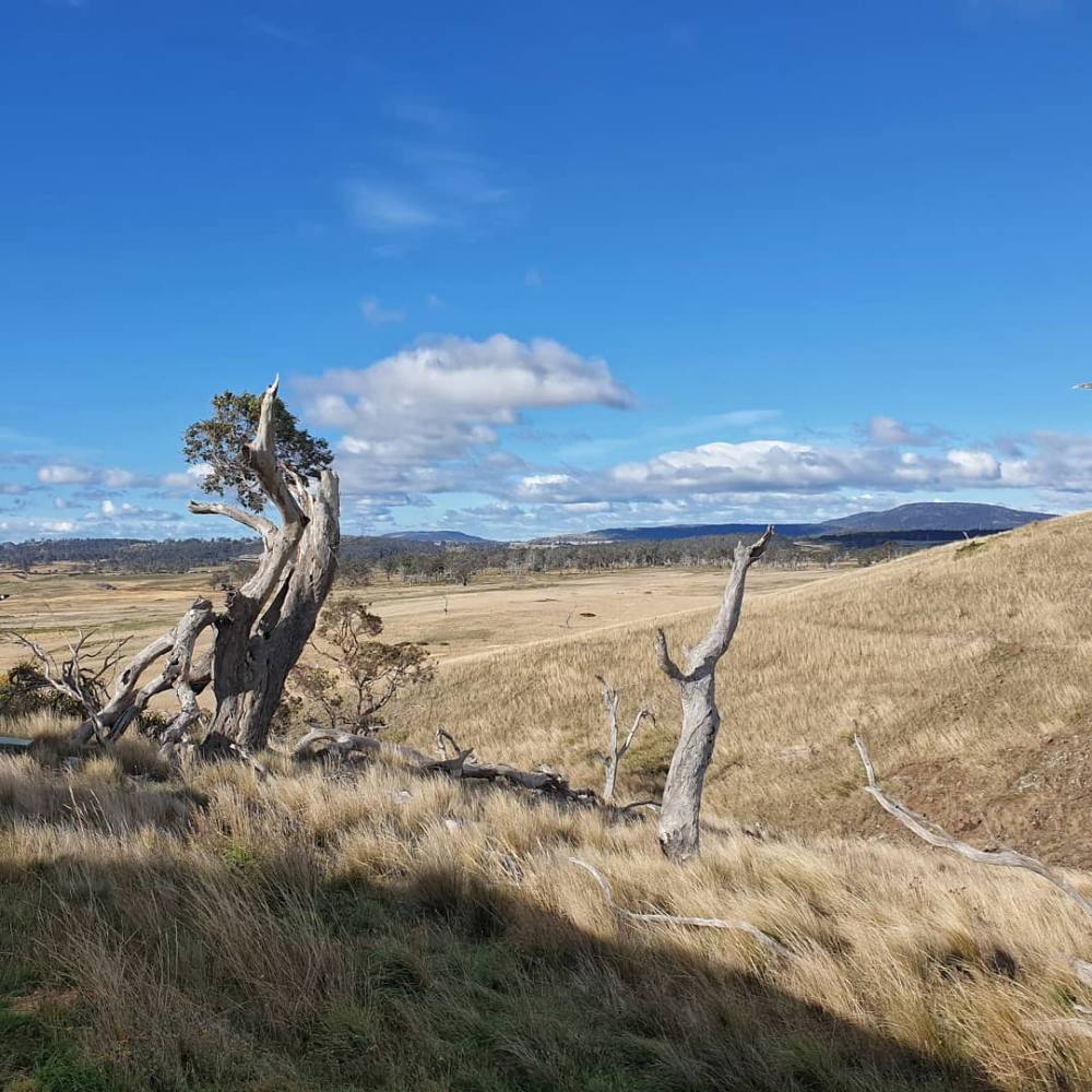
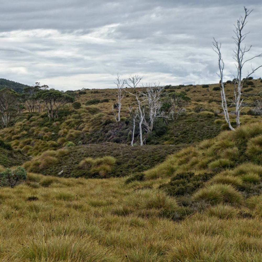
The Mount William National Park covers a large area from Musselroe Bay south to Ansons Bay. We had a little taste by visiting the ‘Top Camp’ campsite. It’s a gorgeous spot and we’ll make time for a longer stay sometime in the future.
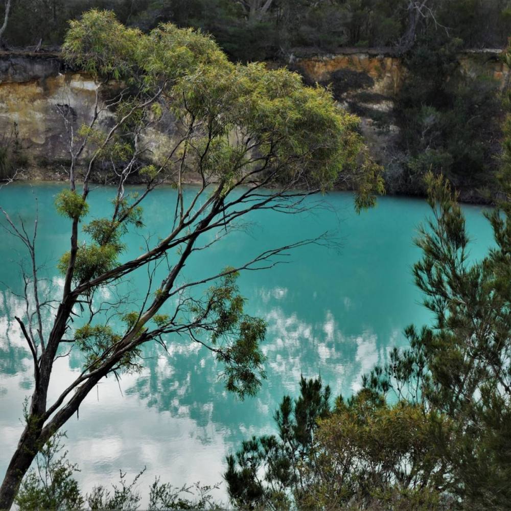
On our way back to Branxholm we stopped at Little Blue Lake, near South Mount Cameron. It’s a remnant of tin mining operations in the area. The colour is spectacular, though the water is definitely not for drinking or swimming.
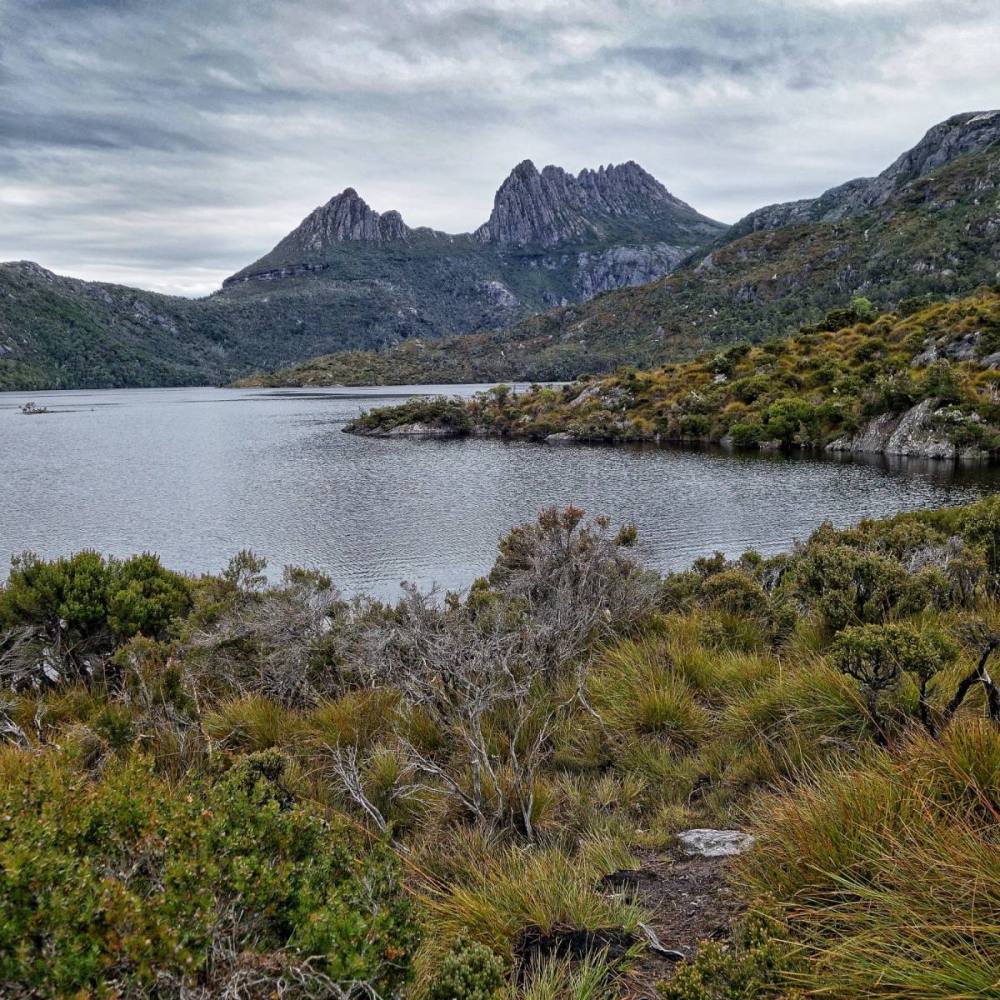
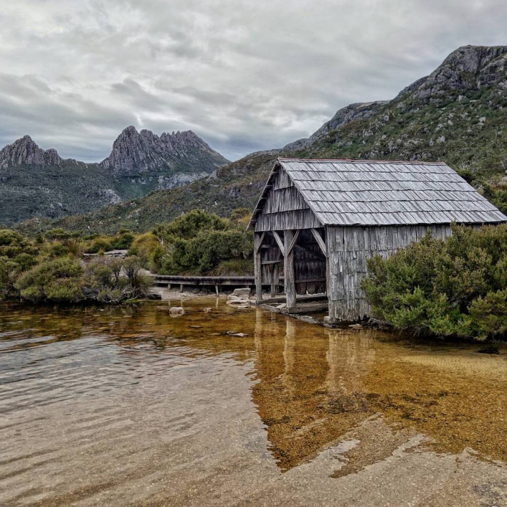
Cradle Mountain is located in the Central Highlands region of Tasmania. It is situated at the northern end of the Cradle Mountain-Lake St Clair National Park, which is part of the Tasmanian Wilderness World Heritage Area.
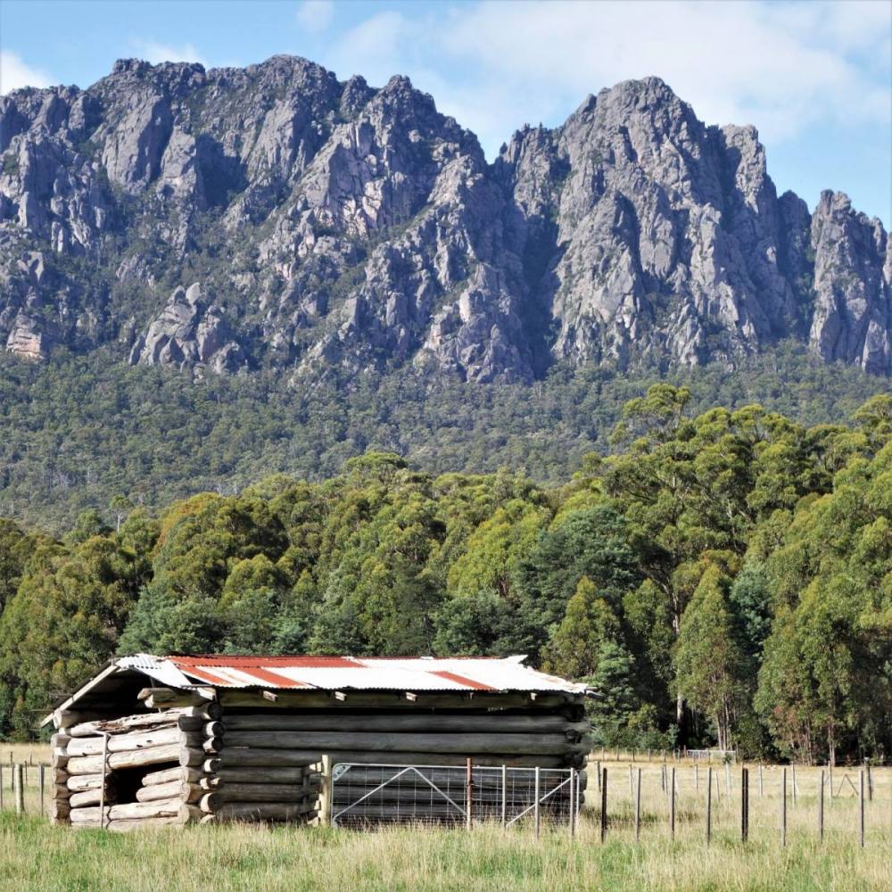
Travelling from Hobart most people head north through the Midlands (on the Midland Highway) then west towards Sheffield, which is backed by the beautiful Mt Roland. With improvements to the Highland Lakes Road it now takes about the same amount to time to go via the Central Highlands rather than the Midlands. We drove one way up and the other way back making it a nice, round trip.
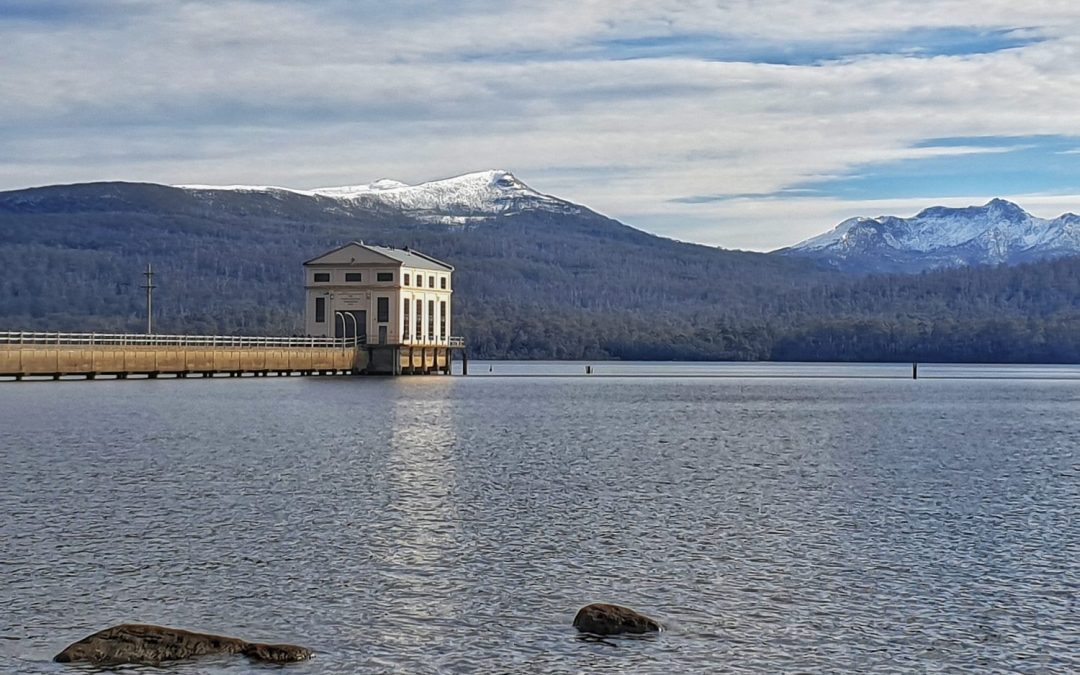
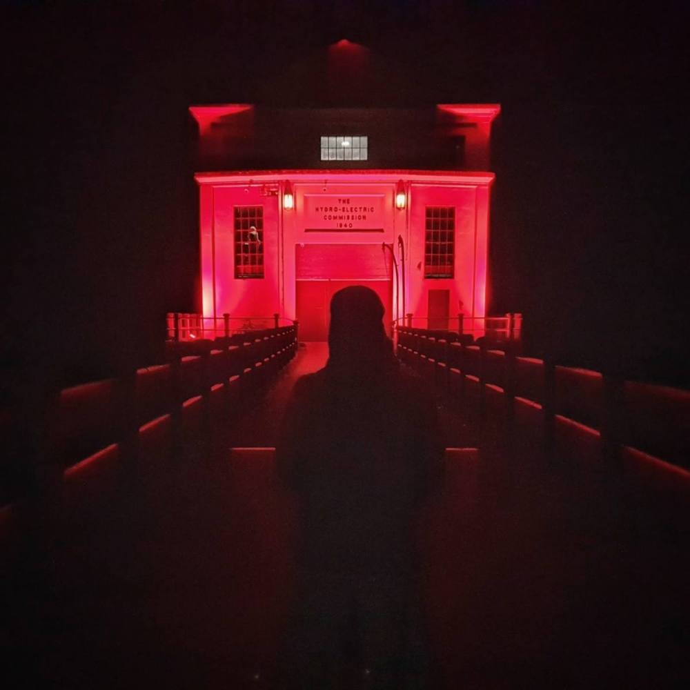
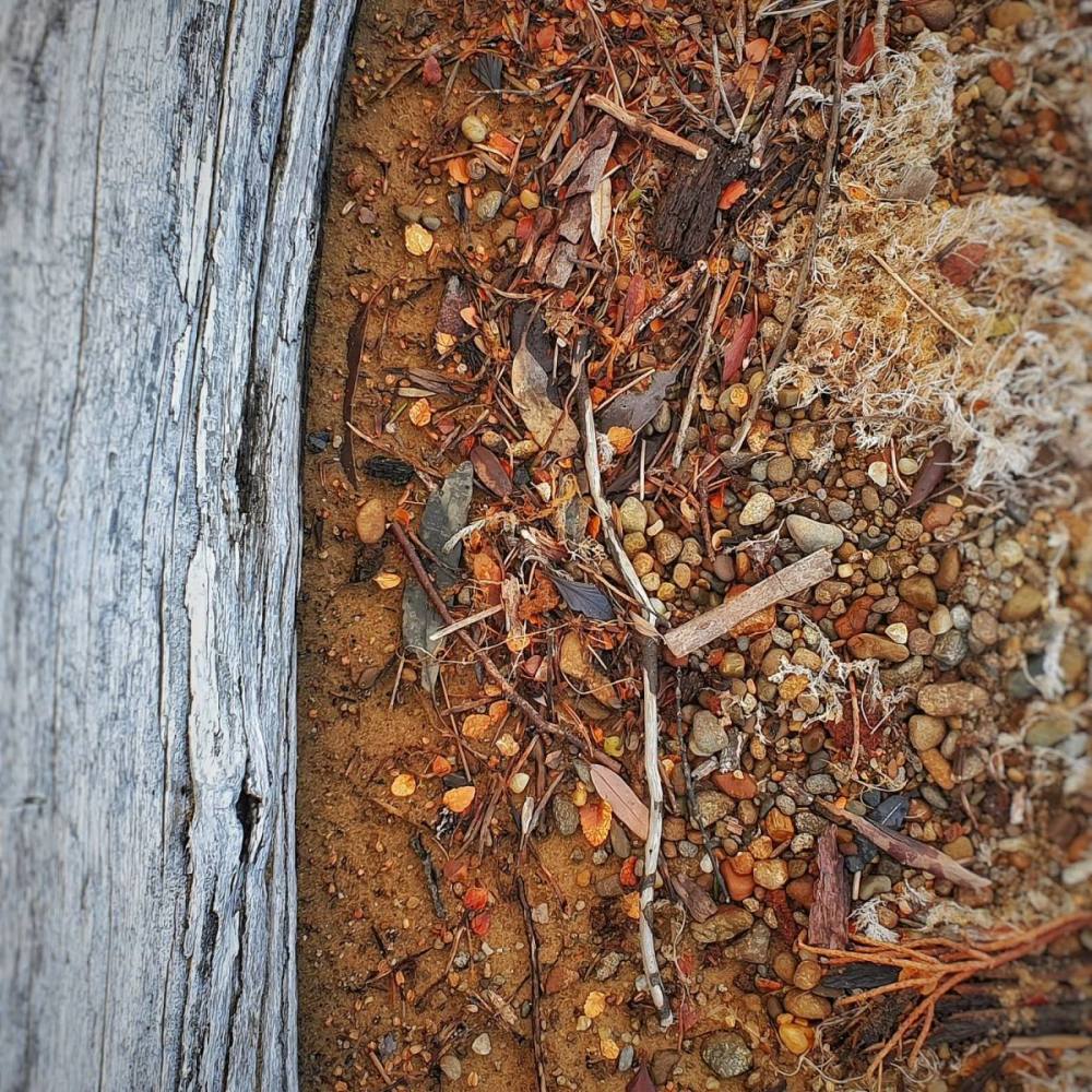
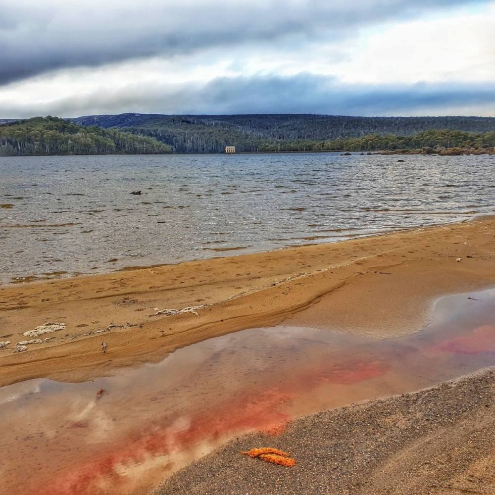
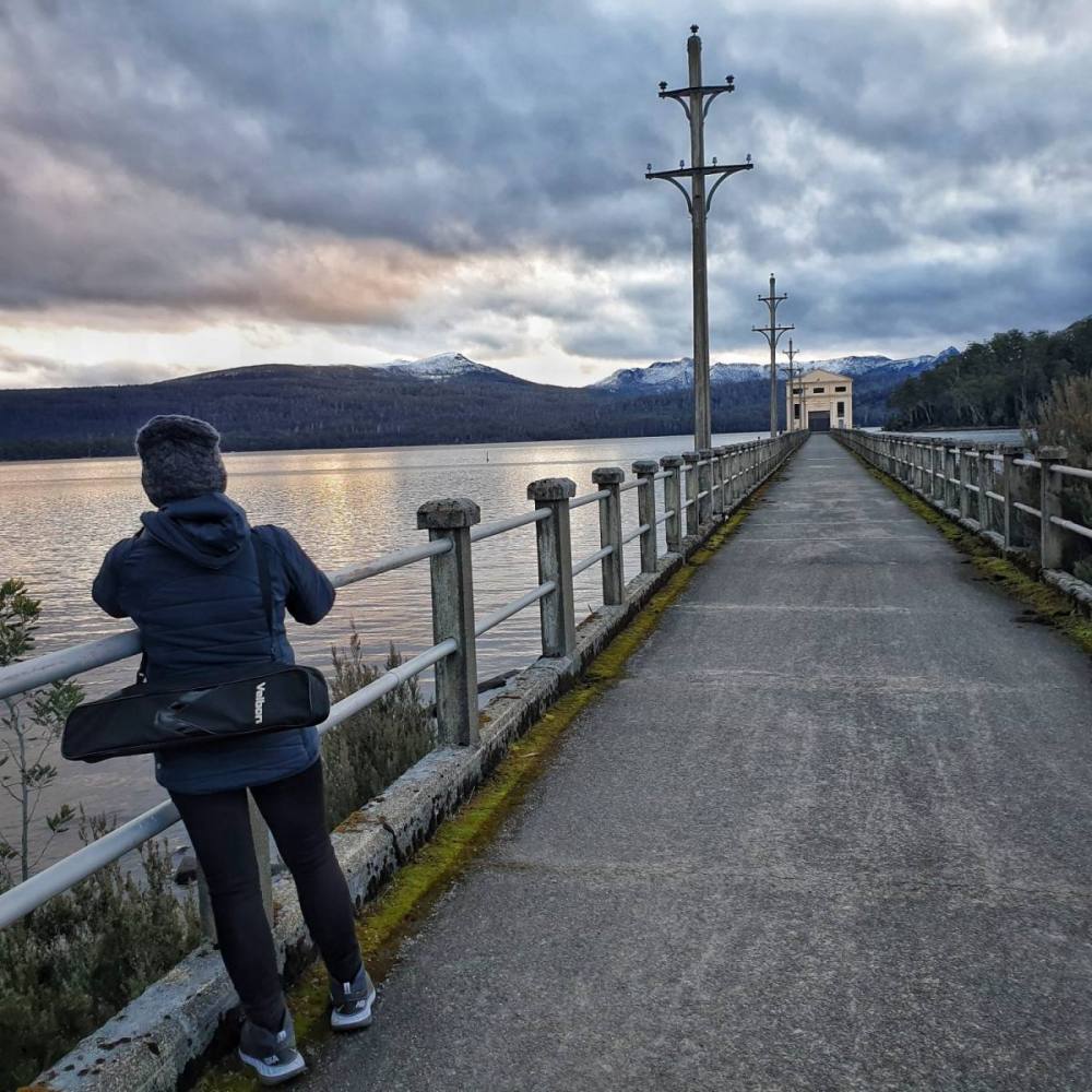
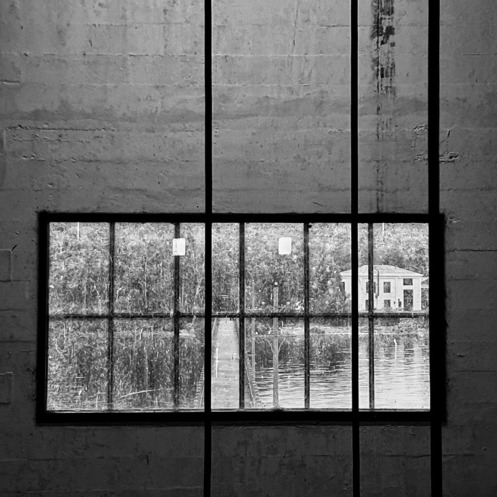
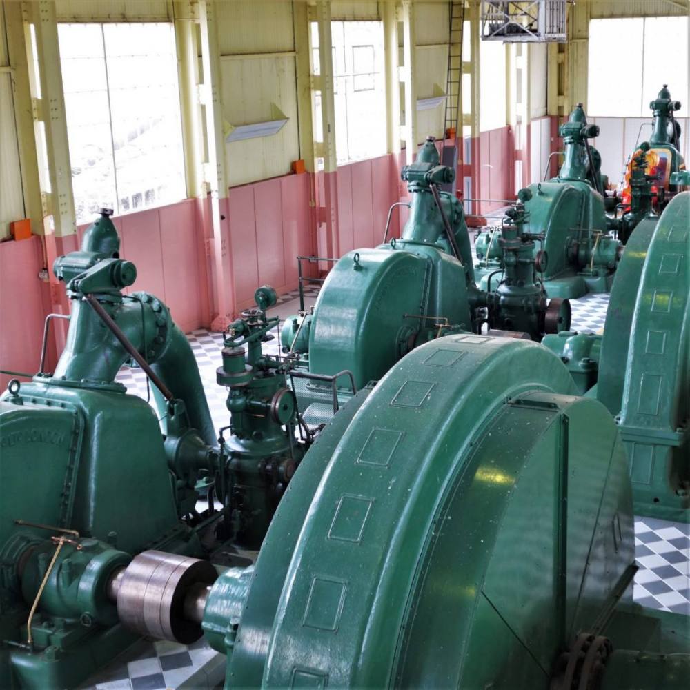
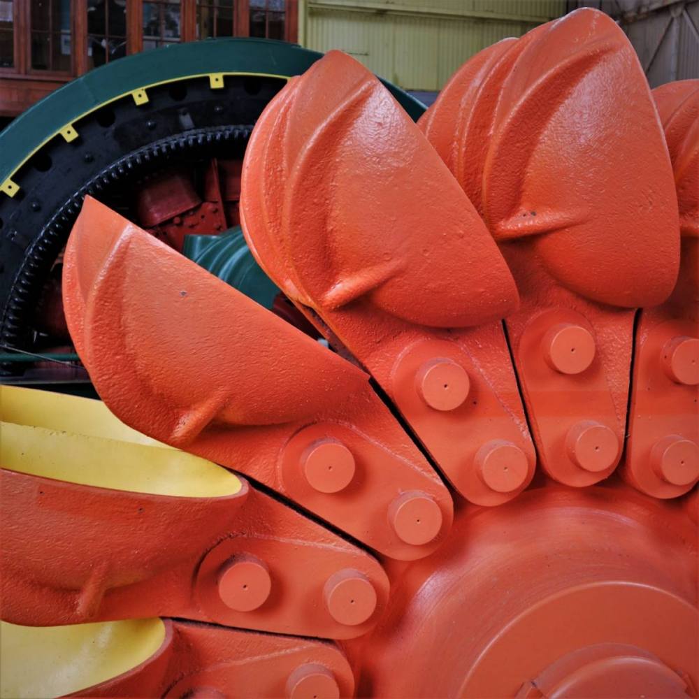
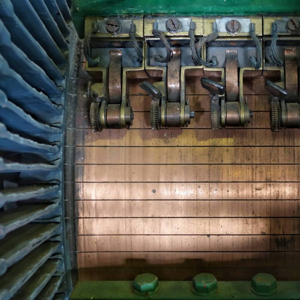
On the way to Cradle Mountain we broke our journey at Waddamana. It’s the site of Tasmania’s first hydro-electric power station which is now a museum. It proved to be a fun place for taking photographs.
Arrived at Cradle Mountain late afternoon. It was wet and misty, very atmospheric.
The infrastructure at Cradle Mountain National Park has been significantly upgraded since the last time we visited. We drove a short distance from our hotel to the very flash visitors’ centre. From here there are regular shuttle buses to Dove Lake.
We walked to Glacier Rock on the eastern side of Dove Lake, then back to the Boatshed on the western side.
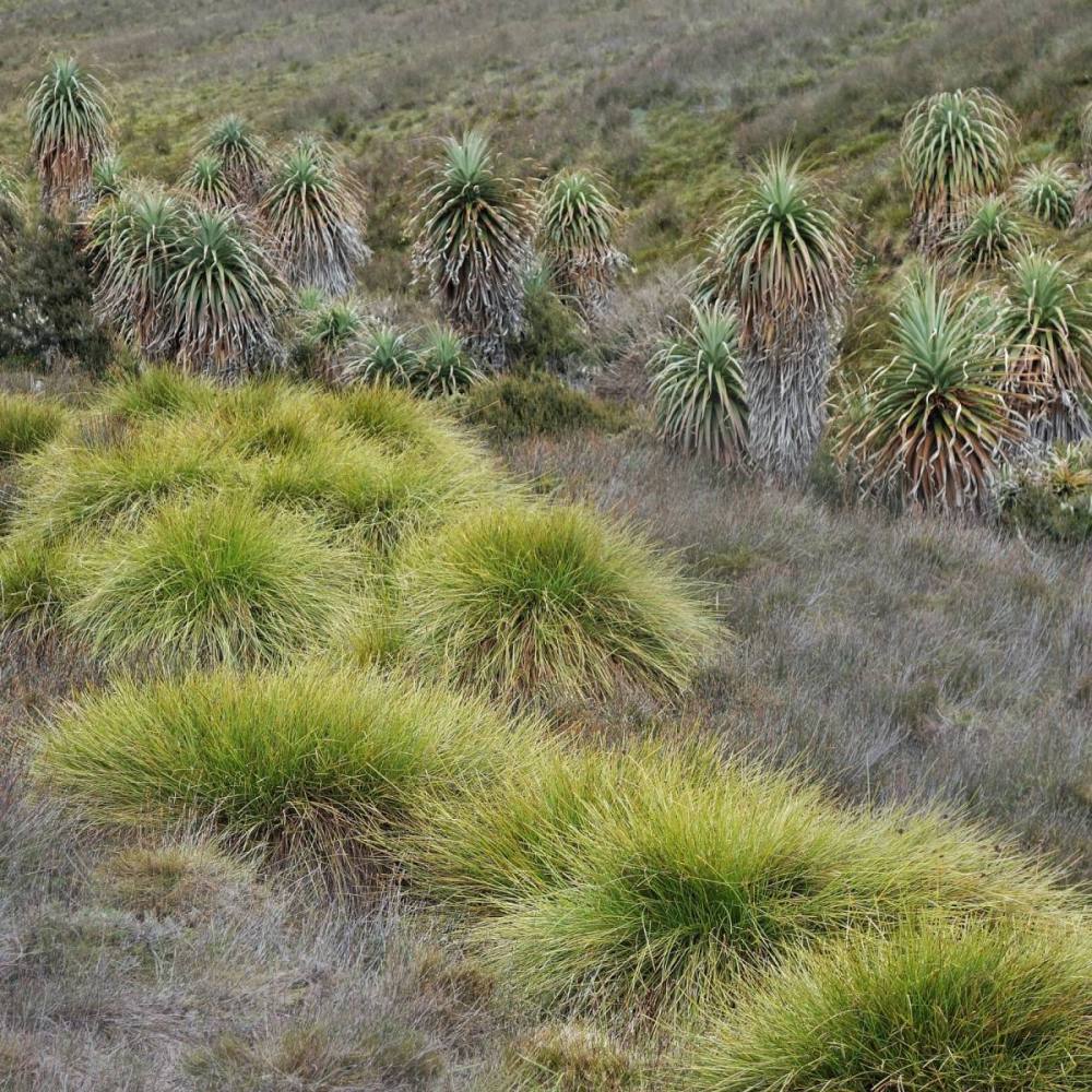
From there we took the track to Ronny Creek, crossing buttongrass plains and viewing pandani groves. At the end of the path we picked up a shuttle bus back to the visitors’ centre.
Cradle Mountain is a precious place, and we came away feeling that the pressures of human visitation are being well-managed.


Recent Comments